Download
1 / 8
80 likes | 208 Views
Landuse change impact on the carbon balance at highly modified floodplains. a systematic approach for combined emission reduction and landuse optimalization Zsuzsanna Flachner, RISSAC-HAS. International background.

E N D
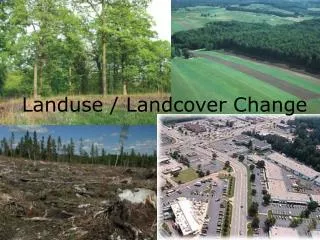
Landuse change impact on the carbon balance at highly modified floodplains a systematic approach for combined emission reduction and landuse optimalization Zsuzsanna Flachner, RISSAC-HAS
International background • Kyoto protocol – LULUCF activities on landuse, landuse change and forestry effects of CO2 balance • Par 3(3), 3(4) too broad – tillage, landuse shift –grassland, wetland • Large variation in carbon sink/source balance concerning landuse (+ 1.6 to –0.8 Gton per year) /IPPC, 1996, Global Change, 2001)
Assumptions -1 • Landuse, water management and GHG emissions are strongly related • Good agricultural practices can lead to increased carbon sequestration with reduced loss of soil organic carbon and increased humification rate • Landuse and landuse change could be introduced into Emission Trading System (ETS) – for the benefit of subsidizing shift for optimal landuse at specific locations
Assumptions -2 • National data on GHG emission from agriculture and landuse related issues are not sufficient • Data availability is a general problems in every country, could be managed by applying integrated, dynamic models, which are available at different spatial scale • Soil maps, evaluation methods, satelit and ortophoto information could be used for landuse planning
Role of multifunctional landuse at floodplains • Decrease the flood risk at the sub-catchment level. • Decrease the pollution load from point and non point sources. • Increase the water storage capacity in the soil and in deeper aquifers, and support the soil rehabilitation processes. • Decreasing GHG emission, and increasing carbon sequestration by appropriate land management technologies for forestry, fisheries, orchards, grasslands and plough lands. • Support the natural rehabilitation of oxbows, old creeks, and wetlands. Protect and/or restore the landscape natural processes and support the protection of special, vulnerable natural habitats. • Incorporate biomass energy production and other renewable energy utilization targets into the land management and economic development plans. • Minimize the external threats at landscape, floodplain level – climate extremities, vulnerability in energy supply and food supply.
Territory of selected pilot site Proposed landuse before field studies Proposed landuse after field studies Elevation of the pilot site Evaluation of local information
Further tasks • Measurement and modelling of soil moisture • Measuring the GHG emission of at different spots • Comparison of different weather, moisture and landuse management case • Estimation of regional emission change, involving dynamic models • Including floodplain landuse change into emission market