Download
1 / 22
220 likes | 322 Views
Web-based Spatial Information System to Support Collaborative Lahars Disaster Management at Sleman Regency, Yogyakarta, Indonesia. Faculty of Geography, UMS, Indonesia. By: Jumadi. Presentation Outline. Introduction Problems Objectives Research Area System Development Processes

E N D
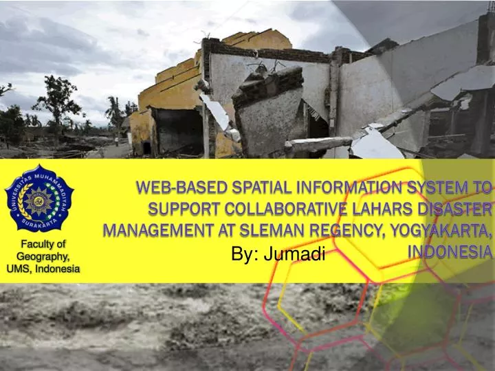
Web-based Spatial Information System to Support Collaborative Lahars Disaster Management at Sleman Regency, Yogyakarta, Indonesia Faculty of Geography, UMS, Indonesia By: Jumadi
Presentation Outline • Introduction • Problems • Objectives • Research Area • System Development Processes • Mapping Environment • Database Development • Decision Making Processes • Case Study • Conclusions
Introduction • The eruption of Merapi Volcano in 2010 released ± 130 milion3 material (Magelang Local Government and UN-OCHA, 2011). • The material was deposited on the upslope of Merapi. • During rainy sesion of 2011 about 1/3 (BPPTK , 2011) of the material caused damaging of numbers of setlements, bridges, roads and agricultural lands. • The rest is predicted will be potential threath during rainy season until 4 year (BPPTK , 2011).
Problems • Several institution in 4 municipality and 2 province involved to manage the disaster in collaborative work. • Spatial information is needed to support decision making proceses. • Unfortunately, in some cases each institution has different priority and prefference. • At the same time, it is lack of spatial data sharing among institution.
Proposed Solution • Widely accesible spatial information system (Web-based) • Support democratic decision making. • Fullfil users requirements from various institution with different administrative area.
Objective • To develop prototype of web-based spatial information system for collaborative lahars disaster management.
Reserach Area Merapi Infrastructure damages from the previous lahars events Source: BBWS Serayu Opak, 2011
Example of Lahars Disaster Events in 2011 Source: www.antaranews.com Source: http://wwwabbee-keren.blogspot.com/
Development Processes • Spatial Multi-criteria Decision Analysis is used
Mapping Environment • Hexagonal grid as surface model of the area was created. • The spatial data is stored into geometry field in PostgreSQL/PostGIS.
Infrastructures Data • Infrastructures is stored using different geographic model.
Weighting method and Decision Rule • Rating Method (Malczewski, 1999) for the criterion weighting based on the users’ preferences. • Simple Additive Weighting Method (Malczewski, 1999). • The model was implemented in the spatial query analysis in PostGIS.
Collaborative Decision Making User Preference Input Statistical Analysis User Preference Input Running The Decision Rule Result User Preference Input
Slope Map • Landuse Map • Proximity to Population • Constraint 2 (conservation Map) • Proximity to local road network • Constraint 1 (hazard Map) Case Study • Criteria Map Used: Temporary housing site selection
User Preference Input of the Criterion Importance Level • Normalized weighting result. • Statistical Analysis of the decision result. Criteria Weigting Input
http://localhost:91/lahars-sdss/wfs/index.php?CA=0.359712230216_0.280575539568_0.169064748201_0.190647482014&C1=0.328719723183_0.256055363322_0.200692041522_0.141868512111_0.0726643598616_0&C2=0.292418772563_0.0938628158845_0.223826714801_0.162454873646_0_0.227436823105&C3=0.699300699301_0.300699300699_0&C4=0.694444444444_0.305555555556_0&CT=0.328719723183_0.256055363322_0.200692041522_0.141868512111_0.0726643598616_0http://localhost:91/lahars-sdss/wfs/index.php?CA=0.359712230216_0.280575539568_0.169064748201_0.190647482014&C1=0.328719723183_0.256055363322_0.200692041522_0.141868512111_0.0726643598616_0&C2=0.292418772563_0.0938628158845_0.223826714801_0.162454873646_0_0.227436823105&C3=0.699300699301_0.300699300699_0&C4=0.694444444444_0.305555555556_0&CT=0.328719723183_0.256055363322_0.200692041522_0.141868512111_0.0726643598616_0 • WFS link • WFS link generation • Accessing the WFS link using Quantum GIS Making the Result Interoperable using Web Feature Service (WFS)
Conclusions • Spatial data is important on collaborative disaster management, mainly in data communication and decision making processes. • Collaborative decision making through spatial information involve various users with various understanding and skill GIS, so that, the application interface should be as simple as possible. • Data sharing is important.
This paper was writen based on MSc ResearchDouble Degree MSc Programme Geoinformation for Spatial Planning and Risk Management ITC, Univ. Of Twente, The Netherlands - UGM