Download
1 / 27
270 likes | 528 Views
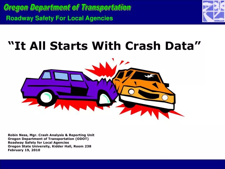
“It All Starts With Crash Data”. Robin Ness, Mgr. Crash Analysis & Reporting Unit Oregon Department of Transportation (ODOT) Roadway Safety for Local Agencies Oregon State University, Kidder Hall, Room 238 February 19, 2010. Statewide Crash and Traffic Data.

E N D
“It All Starts With Crash Data” Robin Ness, Mgr. Crash Analysis & Reporting Unit Oregon Department of Transportation (ODOT) Roadway Safety for Local Agencies Oregon State University, Kidder Hall, Room 238 February 19, 2010
Statewide Crash and Traffic Data MV Traffic Crashes – What is reported (ANSI D16) and what isn’t reported… • Reporting Path and Data Flow • Coding Crashes - Process • Crash Data – What’s Coded and How Can it Help Me • Reporting Services and Safety Tools • Finding Crash, Traffic, and other Safety Data • Data Links and Contacts • Questions / Comments
ORS 811.720: When MV traffic accidents must be reported...(summarized) There is more than $1,500 damage to a vehicle; There is more than $1,500 damage to property other than a vehicle; Someone is injured (no matter how minor the injury); someone is killed; or Any vehicle is towed due to damage resulting from the accident. Statutory Citizen Reporting Requirements
Do not meet Oregon’s reporting threshold. Involved license suspensions w/non-compliant drivers and were delayed in DMV’s process. Were ‘hit-n-run’ with a parked vehicle or property. Involved multiple driver’s who agreed not to report and no police are present to report. Single vehicle crash not attended by police, not reported by driver. Report doesn’t reach DMV due to serious injury litigation or ongoing criminal investigation. (This is rare but has occurred.) Do not involve a motor vehicle, i.e. bicycle only. Why Some Crashes are Not in the State File
Was ruled by State Medical Examiner to a result of; Medical illness not result of crash injury Intentional homicide Suicide Died over 30 days after crash event (national standard) Occurred on private property, i.e. driveway, parking lot, etc. Did not occur on a traffic way, i.e., beach, wilderness trail, etc. Occurred as an industrial accident, i.e., backing over worker with motorized equipment in process of work. Did not involve a motor vehicle, i.e., pedalcyclist vs. pole, pedestrian vs. train, pedalcyclist vs. street, etc. Crash Involved Deaths Not in the State File
Statewide Crash Database Relational SQL database, VB and Crystal Reports (119 data elements) • Crash level data – (77) includes ,time, location, causes, investigation, traffic control … • Vehicle level – (17) includes vehicle type, directions of travel, vehicle movements, actions, errors, safety equip, emergency use… • Participant level – (24) includes contributing events, actions, errors, causes, age, gender, drug & alcohol involvement, safety equip. use…
Location Data Coded Code crashes on all traffic way jurisdictions • State highways • City streets • County roads • Forest service, BLM • Reservations Crash location detail • Intersectional, driveway, curve, hill, segments • Name / number of road • GIS coordinate • Traffic control • Number of lanes • Location of impact • Work zone, school zone • Roundabout present • More…
Participant Data Coded Drivers (autos, motorcycles, bicycles) • License status • Age, gender • Safety equipment use • Alcohol or Drug use • Errors • More… Other participants (passengers, pedestrians, pedestrian on conveyance) • Age, gender • Safety equipment use • Actions • Errors • Location and activity (pedestrians) • Alcohol or Drug use • More…
Program Areas Supported Enforcement • Law Enforcement - crash location spot maps, trends • DMV – driver records Engineering – city, county, state level • Planning, roadway design & improvements Safety • Transportation Safety Division – safety campaigns; legislative proposals • Motor Carrier Division – planning, safety investigations, compliance • MADD, National Safety Council, IIHS – behavior modification National level research, analysis & funding • USDOT / National Highway Traffic Safety Administration (NHTSA) • Vehicle and occupant safety standards; • Defects investigations; • Vehicle improvements Federal Highway Administration (FHWA)
www.keiko36.odot.state.or.us Crash Data Reporting - (soon to include local roads) TransGIS – ODOT GIS Mapping interface TPOD – Transportation Planning On-line GIS Database Digital Video Log (current images of all the state highways in both directions) www.oregon.gov/ODOT/TD/TDATA/tsm/tvt. Traffic Counting Websites Traffic Volume Tables Traffic Flow Maps Vehicle Miles Traveled (VMT) www.oregon.gov/ODOT/TS/ Statewide Safety Programs Safety Action Plan ODOT Links- Traffic Reporting/Safety Services
Reporting Services Crash Data • Annual Publications (on-line) • Crash Data Reporting Tool (on-line) • Annual Data Extracts (Excel, Access) • Custom Access Databases • Ad-Hoc Reporting, Custom Reporting • GIS Crash Data • Collision Diagrams Traffic Counting Data • Annual Publications (on-line) • Monthly Trends (on-line, mailings) • Ad Hoc Reports Transportation Safety • 16 Safety Programs – support / reports • Statewide Safety Plan
Products • Crash Report Examples • GIS Mapping Interface (TransGIS) • Annual Publications • Crash Data Extracts / Access Databases • Links to National Safety Sites • Crash Data Information Support
State Traffic Safety Information (STSI) Fatalities (All Crashes), 2004-2008
Future Improvements • TransViewer Reports (next Summer) • On-line queries for local road crash data • Crash Magic On-line (Fall) • Local governments licenses • Crash Data User Training (next Fall) • Improve the ability to make better decisions • SPIS/GIS • Providing a visual statewide look at safety needs • TransInfo Project (2011) • Merge two major road inventory data systems –improving accessibility roadway asset data i.e., guardrails etc.
Crash Data Program Robin Ness, Manager (503) 986-4236 Robin.A.Ness@odot.state.or.us Statewide Reports, Diagrams and Data Sylvia Vogel (503) 986-4240 sylvia.m.vogel@odot.state.or.us Fatal Crash Reports and Data – Fatality Analysis Reporting System (FARS) Kathy Jones (503) 986-4248 katharine.m.jones@odot .state.or.us Custom Reports, Publications Theresa Heyn (503) 986-4233 Theresa.a.heyn@odot.state.or.us Kelly Zobrist (503)986-4235 Kelly.r.zobrist@odot.state.or.us Motor Carrier Crash Reports and Data Charles (503) 986-3507 jackson.r.shepard@odot .state.or.us