Download
1 / 12
130 likes | 238 Views
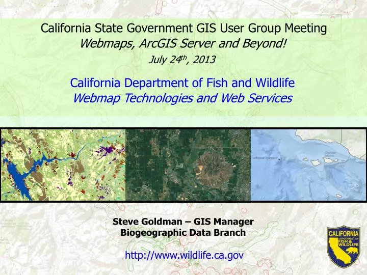
California State Government GIS User Group Meeting. Webmaps, ArcGIS Server and Beyond!. July 24 th , 2013. California Department of Fish and Wildlife. Webmap Technologies and Web Services. Steve Goldman – GIS Manager Biogeographic Data Branch. http://www.wildlife.ca.gov.

E N D
California State Government GIS User Group Meeting Webmaps, ArcGIS Server and Beyond! July 24th, 2013 California Department of Fish and Wildlife Webmap Technologies and Web Services Steve Goldman – GIS Manager Biogeographic Data Branch http://www.wildlife.ca.gov
What technologies does CDFW use for webmaps? 1. ArcGIS Server 2. ArcIMS 3. ArcGIS Online Embedded HTML (free) 4. Google Webmap Technologies
What technologies does CDFW use for webmaps? Webmap Technologies ArcGIS Server: 1. BIOS http://bios.dfg.ca.gov/ 2. MarineBIOS http://www.dfg.ca.gov/marine/gis/viewer.asp 3. CDFW Lands http://www.dfg.ca.gov/lands/viewer/
What technologies does CDFW use for webmaps? Webmap Technologies ArcGIS Server ArcIMS: 1. Fishing Guide http://www.dfg.ca.gov/fishingpassport/guide.asp
What technologies does CDFW use for webmaps? Webmap Technologies ArcGIS Server ArcIMS ArcGIS Online Embedded HTML: 1. Steelhead Reports http://www.dfg.ca.gov/fish/Fishing/Monitoring/SHRC/SHRC_Code_Map.asp 2. Instream Flow http://www.dfg.ca.gov/water/instream_flow_recommendations.html 3. Fish Planting http://www.dfg.ca.gov/biogeodata/gis/fish_plant_test.asp
What technologies does CDFW use for webmaps? Webmap Technologies ArcGIS Server ArcIMS ArcGIS Online Embedded HTML Mobile: 1. Google Maps http://www.dfg.ca.gov/m/LicenseSales/Details/119928-027 2. ArcGIS Server http://www.dfg.ca.gov/m/MPA/Map
CDFW Web Services Web Services Map Services: http://www.dfg.ca.gov/biogeodata/gis/map_services.asp Web Data APIs (coming) Fish Planting Fishing Contests Fishing Regulations CNDDB Summarized Data etc
What does DFG offer? BIOS Web Mapping Application
What does DFG offer? MarineBIOS Marine & Coastal Data Viewer
What does DFG offer? Historic Delta Topos from 1910-1918
What does DFG offer? Web Data APIs
Questions? Steve Goldman GIS Manager Biogeographic Data Branch Department of Fish and Wildlife steve.goldman@wildlife.ca.gov 916-445-9939 http://www.dfg.ca.gov/biogeodata/gis/ Google “DFG GIS”