Download
1 / 24
240 likes | 464 Views
Overview. Introduction to floodplain mappingWhy use GIS?ProblemsTools and DataProcessResultsFutureQuestions. Floodplain Mapping Process. Gather DataHydrologic AnalysisHydraulic AnalysisMap Floodplain Using Outputs and Base Maps. Why Use GIS?. Delineation of watershed boundaries and parameter estimation is simplifiedInput of topographic data far less labor intensiveImport and Export of data between ArcView and HEC-HMS and HEC-RAS is convenientAmount of labor associated with hand delineation makes adjustments cost-prohibitive .

E N D
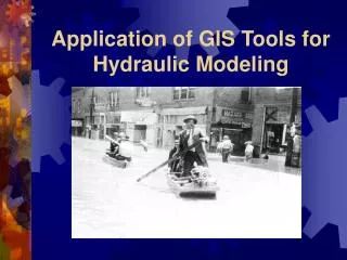
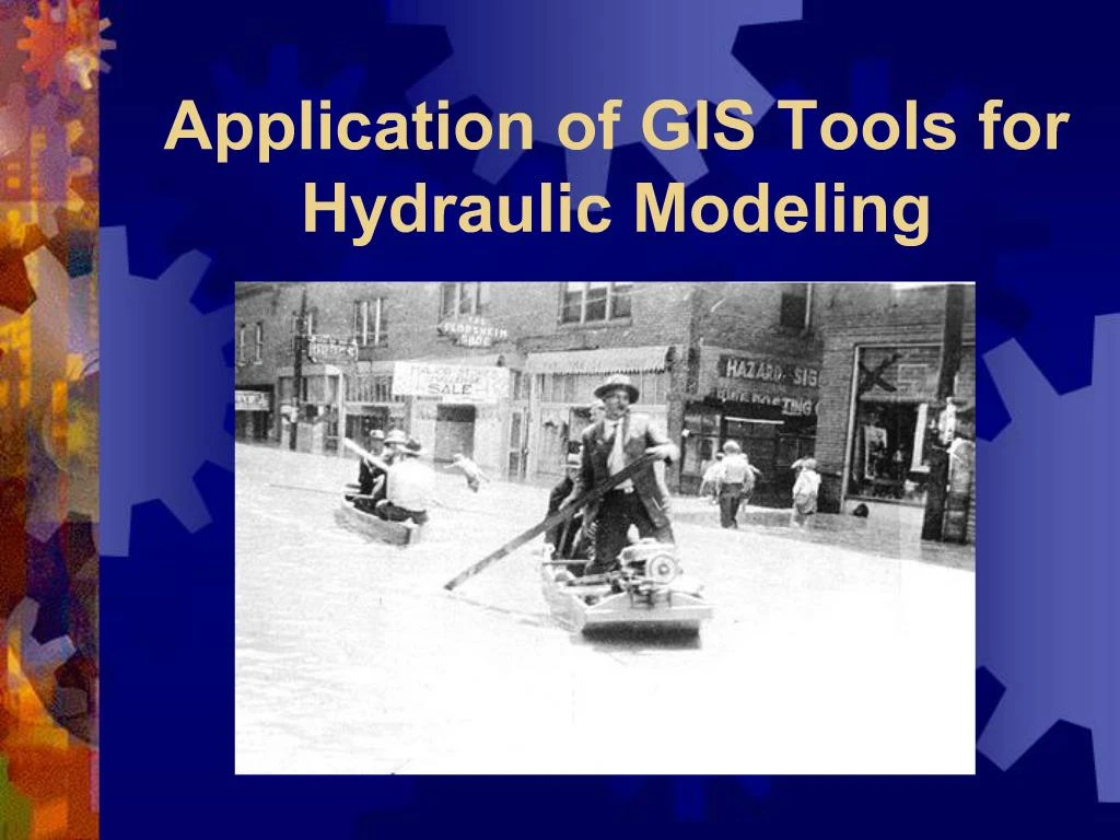
1. Application of GIS Tools for Hydraulic Modeling
2. Overview Introduction to floodplain mapping
Why use GIS?
Problems
Tools and Data
Process
Results
Future
Questions
3. Floodplain Mapping Process Gather Data
Hydrologic Analysis
Hydraulic Analysis
Map Floodplain Using Outputs and Base Maps
4. Why Use GIS? Delineation of watershed boundaries and parameter estimation is simplified
Input of topographic data far less labor intensive
Import and Export of data between ArcView and HEC-HMS and HEC-RAS is convenient
Amount of labor associated with hand delineation makes adjustments cost-prohibitive
5. Problems of GIS Gathering data sufficiently accurate for terrain modeling
Significant processing time due to size of datasets
Matching datasets with different projections
6. GIS Tools and Data Required Spatial Analyst
3-D Analyst
HEC-GeoRAS
HEC-RAS 3.0
7. 3-D Analyst Extension
8. 3-D Analyst Extension
9. Hydrologic Analysis Calculate Parameters
Enter into HEC-HMS
Get Flow Data for Later Use in HEC-RAS
10. Process Load GeoRAS Extension for ArcView
11. Terrain Model Generate TIN
12. Terrain Model Create Contours
13. Hydraulic Process Identify Channel Centerline
14. Hydraulic Process Draw Right and Left Banks
15. Hydraulic Process Draw Flowpaths for Channel and Overbanks
16. Hydraulic Process Insert Desired Cross Section Lines
17. Hydraulic Process Curves in Stream Calculated using Flowpaths
18. Prepare GIS Data for Export HEC-GeoRas Theme Setup
19. Creating RAS/GIS Import File Stream/Reach Names
Stationing
Bank Stations
Reach Names
Manning�s �n� Values
Cross Section Elevations
20. Importing GeoRAS Data Create New HEC-RAS Project
Import GIS Geometry Data
21. Using HEC-RAS Add data for hydraulic structures
Add roughness values
Input flow data
View results
Export back to GIS
22. Create Flow Depth Grid
23. Analyze Results
24. Comparison of Flows
25. Questions ???