Download
1 / 5
50 likes | 186 Views
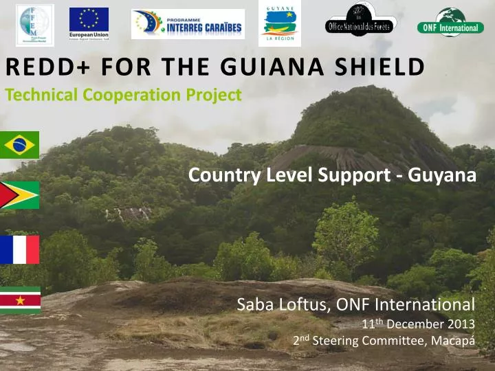
REDD+ FOR THE GUIANA SHIELD Technical Cooperation Project. Country Level Support - Guyana. Saba Loftus, ONF International 11 th December 2013 2 nd Steering Committee, Macapá. Ongoing projects in Guyana relevant to REDD+ for the Guiana Shield.

E N D
REDD+ FOR THE GUIANA SHIELDTechnical Cooperation Project Country Level Support - Guyana Saba Loftus, ONF International 11th December 2013 2ndSteering Committee, Macapá
Ongoing projects in Guyanarelevant to REDD+ for the Guiana Shield • Low Carbon Development Strategy (see snapshot or lcds.gov.gy for more information) • GIS Policy • MRV Roadmap approach (2010 for 3 years): • Aim to establish comprehensive, national system to monitor, report and verify forest carbon emissions.)
Next Steps in Guyana’s MRVS • Development/demonstration priorities • Better integration of the GFC log tracking system and the satellite imagery in order to monitor compliance • Real-time mining deforestation (using Landsat/Modis). To monitor compliance. • Temporal study of shifting cultivation using historical data to better understand land cover change dynamics • Improvement of the national forest cover map using the Geovantage aerial coverage as a reference layer to classify the RapidEye imagery • Integrated data sharing with other agencies to communicate mapping results to ensure improved enforcement • Ongoing - Overflights using the same system as trialed this year. This would be used again for the accuracy assessment in Year 4.
Community MRV capacity building • Technical tools / open source software alternatives: • Remote sensing analysis methodologies and software to automatically and semi-automatically analyze land-use, land-cover and changes (GFC noted: Brazil advanced in mapping of forest, mostly automated or semi-automated. GFC see this as something the regions forestry services could benefit from) • How to capitalize on existing data and monitoring tools to feed the MRV system and the REL/RFL? (e.gOpen source alternatives to ArcGIS (considering using open source alternatives such as TerraAmazon as licenses proving expensive to maintain). • Decision making tool that incorporates existing Economic data. Wish-list for additional country support
MERCI /THANK YOU /DANK U / OBRIGADO Saba.loftus@onfinternational.com http://www.onfinternational.com/ Photo credit: ONF Guyane