Download
1 / 19
190 likes | 295 Views
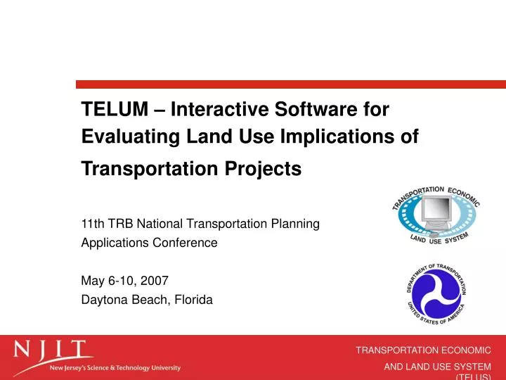
TELUM – Interactive Software for Evaluating Land Use Implications of Transportation Projects. 11th TRB National Transportation Planning Applications Conference May 6-10, 2007 Daytona Beach, Florida. Introduction.

E N D
TELUM – Interactive Software for Evaluating Land Use Implications of Transportation Projects 11th TRB National Transportation Planning Applications ConferenceMay 6-10, 2007Daytona Beach, Florida
Introduction • TELUM is a land use modeling software package that can be used for evaluating land use impacts of regional transportation improvement projects. • TELUM forecasts future location of employment and households • Developed as part of the federal TELUS grant as a standalone modeling software. • Integrated GIS tool
Motivation • Majority of MPOs neither uses Land Use Models for regional forecasting nor for providing input to travel models. This is due to the lack of trained in-house personnel with experience in land use planning. TELUM is developed as intuitive, interactive software package with many user-friendly features. It is easy to understand, provides tools for easy data entry and analysis, and features Help System that provides instructions and is able to guide and advise users throughout their analysis. It is primarily developed for small and medium-sized MPOs. Determination of the State of the Practice in Metropolitan Area Travel Forecasting: Findings of the Surveys of Metropolitan Planning Organizations, April 7, 2006, Prepared for Committee B0090, TRB/National Research Council
Why using TELUM? • TELUM enables planners to perform regional land use analysis by: • Forecasting the employment and population that desire to locate in specific zones of a region. • Calculating the amount of employment and population that will be allocated to each zone based on transportation accessibility and underlying economic factors. • Calculating the amount of land needed for locating employment and residential activities.
Advantages of TELUM • Inputs consist of US Census data and supplemental data commonly used by MPOs in regional planning process; • User friendly interface makes it easy to navigate through data input, model development, and forecasting process; • On-screen Tip Tools; • Integrated GIS module allows mapping of the input data, calibration results, and forecast results;
Transportation Policy Analysis • TELUM provides planners with the ability to compare various transportation improvement scenarios. • Planners can make changes in the transportation network between runs and observe the resulting changes in land use patterns. • Helps decision makers make informed choices about their transportation projects based on their land use impact
TELUMModeling Process • Data Preparation • Program Installation • Model Calibration • Model Verification • Preliminary Forecasts • Model Validation • Forecasts and Policy Tests
7 8 and 10 Forecast Results – Policy Scenario 2
6 9 Forecast Results – Policy Scenario 2 (continued)
Current Program Status • TELUMsoftware package was released in January 2006. It was used by the Pikes Peak Area COG in Fall 06 as part of their new regional transportation plan. Missoula Office of Planning and Grants and Pueblo Area Council of Governments are currently testing TELUM. Used by Des Moines (IA) and Little Rock (AR) MPOs. • Software, User Manual, and Tutorial can be downloaded from TELUS website: http://www.telus-national.org/telum/index.htm • Software is free of charge
Contact Branislav DimitrijevicSenior Transportation EngineerTiernan Hall, Suite 287New Jersey Institute of TechnologyUniversity HeightsNewark, NJ 07102E-mail: dimitrijevic@njit.eduPhone: (973) 596-6463www.telus-national.orghttp://www.transportation.njit.edu Thank you!