Download
1 / 37
370 likes | 585 Views
Global Positioning System (GPS) Basics. www.unavco.org. GPS receiver. GPS receiver. GPS receiver. The United States maintains a constellation of 24-32 GPS satellites orbiting in a near-circular orbit 20,200 km above Earth

E N D
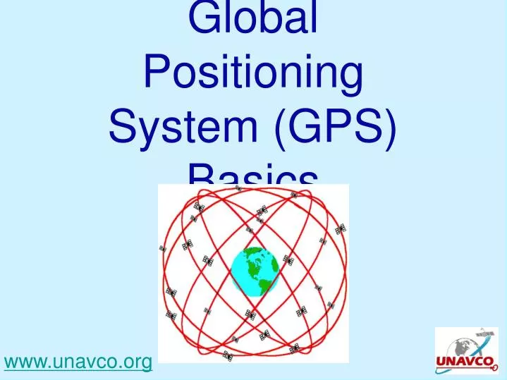
Global Positioning System (GPS) Basics www.unavco.org
The United States maintains a constellation of 24-32 GPS satellites orbiting in a near-circular orbit 20,200 km above Earth Each satellite passes over one of 5 ground monitoring stations every 12 hours
GPS satellites Images from Lockeed-Martin (http://www.lockheedmartin.com/products/GPS/)
Control of the GPS satellites involves • a master control station (MCS), http://en.wikipedia.org/wiki/Global_Positioning_System
Control of the GPS satellites involves • a master control station (MCS), • an alternate MCS, http://en.wikipedia.org/wiki/Global_Positioning_System
Control of the GPS satellites involves • a master control station (MCS), • an alternate MCS, • four dedicated ground antennas and http://en.wikipedia.org/wiki/Global_Positioning_System
Control of the GPS satellites involves • a master control station (MCS), • an alternate MCS, • four dedicated ground antennas and • six monitor stations. http://en.wikipedia.org/wiki/Global_Positioning_System
The ground antennas are in • Kwajalein • Ascension Island • Diego Garcia • Cape Canaveral http://en.wikipedia.org/wiki/Global_Positioning_System
The monitoring stations are in • Hawaii • Kwajalein • Ascension Island • Diego Garcia • Colorado Springs, and • Cape Canaveral http://en.wikipedia.org/wiki/Global_Positioning_System
The tracking information from the monitoring stations is sent to the Air Force Space Command, which is operated by the 2nd Space Operations Squadron (2 SOPS) of the US Air Force. http://en.wikipedia.org/wiki/Global_Positioning_System
The tracking information from the monitoring stations is sent to the Air Force Space Command, which is operated by the 2nd Space Operations Squadron (2 SOPS) of the US Air Force. 2 SOPS contacts each GPS satellite regularly with a navigational update using the dedicated ground antennas. http://en.wikipedia.org/wiki/Global_Positioning_System
The tracking information from the monitoring stations is sent to the Air Force Space Command, which is operated by the 2nd Space Operations Squadron (2 SOPS) of the US Air Force. 2 SOPS contacts each GPS satellite regularly with a navigational update using the dedicated ground antennas. These updates synchronize the atomic clocks on the satellites to within a few nanoseconds of each other, and adjust the ephemeris of each satellite's internal orbital model. http://en.wikipedia.org/wiki/Global_Positioning_System
GPS satellites include ephemeris data in the signals they transmit to GPS receivers. Ephemeris data are a set of parameters that can be used to accurately calculate the location of a GPS satellite at a particular point in time. Ephemeris data describe the path that the satellite is following as it orbits Earth. http://www.how-gps-works.com/glossary/ephemeris-data.shtml
Each GPS satellite has 4 atomic clocks, to be sure that one is always working. Each costs ~$100,000, and is accurate to 1 billionth of a second (1 nanosecond).
Each GPS satellite has 4 atomic clocks, to be sure that one is always working. The radio signal from the satellite tells the receiver on Earth’s surface the satellite-clock time, and provides the most recent corrections to the satellite’s position relative to Earth.
Each GPS satellite has 4 atomic clocks, to be sure that one is always working. The radio signal from the satellite tells the receiver on Earth’s surface the satellite-clock time, and provides the most recent corrections to the satellite’s position relative to Earth. The GPS receiver compares the satellite’s time to the receiver’s time to determine the distance to each satellite.
The receiver knows very accurately where each satellite is relative to Earth (via its almanac and the corrections broadcast by the satellite), so the receiver position is triangulated using at least 3 satellites, with a 4th used to adjust the receiver’s time.
The GPS almanac is a set of data that every GPS satellite transmits, and it includes information about the state (health) of the entire GPS satellite constellation, and coarse data on every satellite's orbit. When a GPS receiver has current almanac data in memory, it can acquire satellite signals and determine initial position more quickly. http://gps.about.com/od/glossary/g/GPS_Almanac.htm
The accuracy of common hand-held GPS units is on the order of 10 meters -- good enough for most casual users. To measure the motions of Earth’s crust, we use GPS systems with an accuracy of less than 1 cm!
What could we learn if we cemented a high-resolution GPS receiver onto Earth’s surface? PBO GPS station P712 (ynp_bacon_mt2008) in Yellowstone National Park http://pboweb.unavco.org/shared/scripts/stations/?checkkey=P712
PBO GPS station P695 (msh_nridgewa2004) on Mt. St. Helens http://pboweb.unavco.org/shared/scripts/stations/?checkkey=P695
Plate Boundary Observatory PBO involves installation, operation and maintenance of ~1100 continuously operating high-precision GPS stations, strainmeters, and tiltmeters.
Where is that chunk of crust going? Plate-Boundary Observatory Sites in Twentynine Palms, California (BEMT) and Mission Viejo (SBCC)
refer to your handout http://pboweb.unavco.org/shared/scripts/stations/?page=station_type&groupid=1#9
What is the site’s 3D velocity? Using the Pythagorean Theorem (high school math...),
In what direction is the site moving? Using the horizontal components of velocity, and a bit of high-school trigonometry,