Download
1 / 23
230 likes | 406 Views
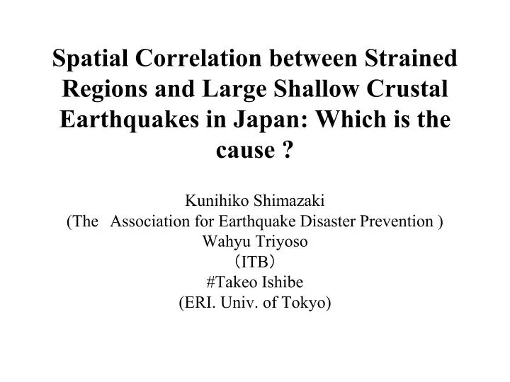
Spatial Correlation between Strained Regions and Large Shallow Crustal Earthquakes in Japan: Which is the cause ?. Kunihiko Shimazaki (The Association for Earthquake Disaster Prevention ) Wahyu Triyoso ( ITB ) #Takeo Ishibe (ERI. Univ. of Tokyo).

E N D
Spatial Correlation between Strained Regions and Large Shallow Crustal Earthquakes in Japan: Which is the cause ? Kunihiko Shimazaki (TheAssociation for Earthquake Disaster Prevention ) Wahyu Triyoso (ITB) #Takeo Ishibe (ERI. Univ. of Tokyo)
Spatial Correlation between Strained Regions and Large Shallow Crustal Earthquakes in Japan: Which is the cause ? Location of historical large earthquakes ⇔ Earthquake Occurrence rate estimated from GPS data Niigata-Kobe tectonic zone from short-term GPS observation (Sagiya et al., 2000) Is this a permanent feature? We examine it from long-term historical seismicity data.
Relationship between strain rate and moment release rate Earthquake occurrence rate can be estimated from moment release rate, b-value and the G-R relationship Flowchart of quantitative comparison of location of historical large earthquakes with strain rate observed by GPS network
Spatial Correlation between Strained Regions and Large Shallow Crustal Earthquakes in Japan: Which is the cause ? GPS data Strain rate
Deformation rate is estimated from GEONET data (1994-1999) by Geographical Survey Institute (GSI)
Spatial Correlation between Strained Regions and Large Shallow Crustal Earthquakes in Japan: Which is the cause ? Moment release rate (a-value) GPS data Strain rate Ward (1994) WG on Calif. Eq. Probabilities (1995) Savage and Simpson (1997) Relationship between Horizontal strain and earthquake moment does not uniquely determined; however, the result does not depend on relationships we used; we used equation of Ward (1994)
Spatial Correlation between Strained Regions and Large Shallow Crustal Earthquakes in Japan: Which is the cause ? Moment release rate (a-value) GPS data Strain rate Spatial distribution of earthquake occurrence rate G-R relationship (b-value is assumed to be 0.9)
Earthquake occurrence probability can be estimated from moment release rate and the G-R relationship (b-value is assumed to be 0.9)
Spatial Correlation between Strained Regions and Large Shallow Crustal Earthquakes in Japan: Which is the cause ? Moment release rate (a-value) GPS data Strain rate Location of historical Large earthquakes Spatial distribution of earthquake occurrence rate Consistent or inconsistent ? G-R relationship (b-value is assumed to be 0.9) What does GPS data represent?
Historical earthquakes data • Basically based on Usami (2003) . Aftershocks and Aki-nada, Iyo-nada earthquakes are eliminated • Jan.1596-May 2007(Chuetsu-oki earthquake is not included) • Magnitude is 6 ¾ or M6.8 and above (total number is 52). • The target interval is divided into 5 intervals (1596-1789, 1670-1855, 1729-1914, 1828-1945, 1896-Mar 2007)each interval includes 20 earthquakes (12 earthquakes overlap)
1596- 1670- 1729- 1828- 1896- 1789 1855 1914 1945 May 2007 Comparison the probability of earthquake occurrence with location of historical earthquakes
Quantitative discussion by using dAIC Strain release model estimated from GPS data vs. no information model (earthquake occurrence rate is uniform throughout Japan) Likelihood function Cell with no earthquakes cell with earthquakes Occurrence rate is adjusted from factor k, k is determined to maximize likelihood function
1596- 1670- 1729- 1828- 1896- 1789 1855 1914 1945 May 2007 -4.7 -2.8 4.6 -1.1 -11.2dAIC GPS model is inferior to no information model except for 1729-1914.
1596- 1670- 1729- 1828- 1896- 1789 1855 1914 1945 May 2007 K-value is probability estimated from earthq. Occurrence rate/ GPS ~0.1-0.2 (including the effect of subduction of plate) -4.7 -2.8 4.6 -1.1 -11.2ΔAIC 0.11 0.12 0.12 0.18 0.19 k
Deformation rate caused by subduction of plate is calculated based on Savage(1983). This rate is subtracted from deformation rate estimated from GPS data /y Removing the effect of subduction of plate
excluding the effect of subduction of oceanic plate Including the effect of subduction of oceanic plate
1596- 1670- 1729- 1828-1896- 1789 1855 1914 1945 May 2007 Historical large earthq. occurred during 1729-1914 are well correlated with recently observed GPS data (about 100 times more likely to occur compared to earthq. Occurred after 1896.) -1.9 0.1 4.2 1.8 -4.8dAIC 0.17 0.19 0.19 0.29 0.31 k
Activity and distribution of late Quaternary active fault (left) and earthquake occurrence rate based on horizontal strain (right). HERP (2005)
Tectonic lines with high activity such as Itoigawa-Shizuoka tectonic line (ISTL), median tectonic line (MTL), can not be recognized from GPS data GPS data reflects temporary phenomena
Conclusion • If present deformation rate is permanent, it is inconsistent with distribution and activity of late Quaternary active fault • On the contrary, if we consider that present deformation is temporary, it is thought to be caused by historical earthquakes occurred 100-300 years ago (flux deformation in mantle and/or lower crust is triggered after large earthquakes.) • Researches of long-term triggered flux deformation are important to detect precursor changes accurately.
地殻内地震の長期余効変動の例(上下動) 1896年 陸羽地震 Thatcher, Matsuda, Kato, and Rundle (1980)
1596- 1670- 1729- 1828- 1896- 1789 1855 1914 1945 Mar 2007 値kから、7割は非地震性の地殻変動が起こっている。 又は、Savage(1983)では水平成分の説明が不十分。 -1.9 0.1 4.2 1.8 -4.8ΔAIC 0.17 0.19 0.19 0.29 0.31 k