Download
1 / 25
270 likes | 526 Views
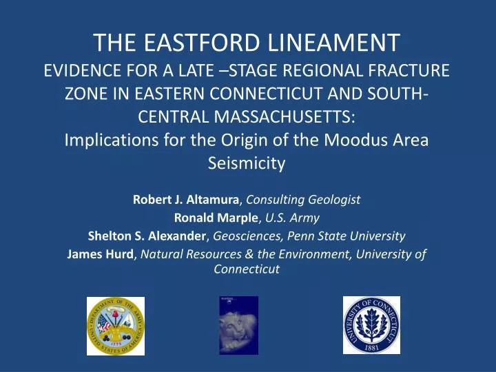
THE EASTFORD LINEAMENT EVIDENCE FOR A LATE –STAGE REGIONAL FRACTURE ZONE IN EASTERN CONNECTICUT AND SOUTH-CENTRAL MASSACHUSETTS: Implications for the Origin of the Moodus Area Seismicity. Robert J. Altamura , Consulting Geologist Ronald Marple , U.S. Army

E N D
THE EASTFORD LINEAMENT EVIDENCE FOR A LATE –STAGE REGIONAL FRACTURE ZONE IN EASTERN CONNECTICUT AND SOUTH-CENTRAL MASSACHUSETTS: Implications for the Origin of the Moodus Area Seismicity Robert J. Altamura, Consulting Geologist Ronald Marple, U.S. Army Shelton S. Alexander, Geosciences, Penn State University James Hurd, Natural Resources & the Environment, University of Connecticut
GOAL: FIND NEOTECTONIC BRITTLE STRUCTURES IN CONNECTICUT. We went about searching for neotectonic structures by regional study of • Geology (previously mapped faults) • Topographic lineaments (this study) • SLAR lineaments (Altamura, 1987) • LiDAR lineaments (this study) • Field investigation (this study) • Seismic data base (Weston Observatory) • Borehole geophysical data for the Moodus deep well (Plumb and Horner, 1988) • Seismographic analyses (Ebel and Bouck, 1988, Ebel, 1989, Quittmeyer et al., 1988) • Seismic profiling of the Moodus lineament (Alexander et al.)
Earthquake epicenters for 137 quakes that originated in Connecticut since 1678. Note the concentration near the Moodus seismic area. (From de Boer (2009) after Dina Smith, Weston Observatory of Boston College)
LiDAR IMAGE OF NORTHEASTERN CONNECTICUT Mansfield Hollow Lake Hartford Willimantic Columbia L. Pocotopaug Colchester Middletown Pickerel Lake N Moodus Mt. Tom 0 3 mi
Because of sparse outcrops and the effects of late Pleistocene glaciation, we developed a list of geomorphic criteria to help distinguish between lineaments caused by brittle fractures and those produced by surface activity. Geomorphic criteria • Scarps • Saddles • Gulleys across the side of ridges • Linear valleys and drainage patterns • Deflected streams
Generalized geologic map of eastern Connecticut by M. Pease (1989). Eastford Q. U D Spring Hill Q.
Eastford Fault The Eastford fault was named by M. Pease as result of his mapping in the Eastford and Spring Hill quads.
LiDAR image of eastern Connecticut illuminated from the SE. Note the subparallel NNW-trending lineament the denote the direction Wisconsinan glacial ice movement. The NE-trending trace of the Eastford fault is demoted by the two arrows.
Portion of the Moodus 7.5 quad: LiDAR imagery and USGS topo map showing interpretations.
LIDAR IMAGE OF NORTHEASTERN CONECTICUT Mansfield Hollow Lake Hartford Willimantic Columbia L. Pocotopaug Colchester Middletown Pickerel Lake N Moodus Mt. Tom 0 3 mi
Trace of the Eastford lineament near the Moodus seismic area was determined by linears, gulleys, saddles, and scarps. Width estimated from the profile of saddles and gulleys.
Trace of the Eastford lineament through part of the Moodus seismic area. (from Marple and others, in press, 2012)
Cross section across the Moodus segment of the Eastford lineament showing the relative locations of the Moodus deep well, cluster of 1987 seismicity, and the EL. Note that the 70 degree NW dip projected from the lineament goes through the center of the seismic cluster. The zone portrayed by screened gray was constructed using the 70 degree angle and bound by the upper and lower depth boundaries of the 1987 cluster (from Quittmeyer et al., 1988)
(modified from Plumb and Hornsby, 1988) CGNHS newsletter, June 23, 1987 CGNHS Borehole geophysical data and lithologic log of the Moodus deep research well.
LIDAR IMAGE OF NORTHEASTERN CONECTICUT Mansfield Hollow Lake Hartford Willimantic Columbia L. Pocotopaug Colchester Middletown Pickerel Lake N Moodus Mt. Tom 0 3 mi
Trace of the Eastford lineament through the Ponset Brook floodplain. The trace of the lineament correlates to the location of the fault by Lundgren who mapped A high-angle fault based on the map offset of the Jurassic Higganum diabase dike. The Dike dips moderately to steeply to the west and to explain the offset, the SE block Would logically be up.
f220-82, +70 Fault breccia zone exposed at the Route 9 interchange near the village of Ponset is subparallel to the trend of the Eastford lineament. The width of the breccia zone is ~3m.
Earthquake epicenters for 137 quakes that originated in Connecticut since 1678 with the Eastford lineament superimposed. (From de Boer (2009) after Dina Smith, Weston Observatory of Boston College)
CONCLUSIONS • The Eastford Lineament is a demonstrated fracture zone over ~80% of its length. • Where bedrock mapping evidence was not available, interpretation of LiDAR Imagery and topographic maps suggest the continuity of EL/EF as a composite structure. • In the case of the Moodus segment of the EL, a fault model is supported by the integration of seismic data and analysis for the 1987 earthquake swarm (Ebel and Bouck, 1988, Ebel, 1989, Quittmeyer, 1988) and borehole geophysical data Plumb and Horner, 1988) with our lineament mapping. • The Eastford lineament is a regional fracture zone. The segment through the Moodus seismic area is a potentially active fault that we believe was a likely cause of the 1987 earthquake swarm. The Eastford structure warrants further study.