Download
1 / 6
60 likes | 138 Views
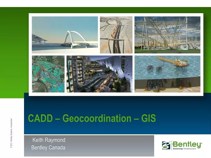
CADD – Geocoordination – GIS. Keith Raymond Bentley Canada. GIS for CAD and BIM users. Topics Geocoordination Georeferencing CAD data Integration with GIS Reference Import Export Promoting CAD data to GIS. Define a GCS for a DGN file.

E N D
CADD – Geocoordination – GIS Keith Raymond Bentley Canada
GIS for CAD and BIM users • Topics • Geocoordination • Georeferencing CAD data • Integration with GIS • Reference • Import • Export • Promoting CAD data to GIS
Define a GCS for a DGN file • Tools –> Geographic –> Select geographic coordinate system • Select GCS from dialog and assign to DGN • Only useful if DGN is in the correct geographic space • Benefit • Easier GIS, Google Earth integration • Better interoperability in multi-GCS project
Georeferencing CAD data • CAD data typically is referenced to a local coordinate system • MicroStation has tools to create a local coordinate system that will convert to a geographic coordinate system • Advantage • CAD data can take advantage of GIS data, Google Earth integration
Interoperability • Many GIS sources • Oracle Spatial • SQL Server Spatial • Esri SHP • MapInfo MID/MIF, TAB • CSV • GML • WFS • Benefit • Take advantage of data in many forms • Conversion not necessary in many cases
Promoting CAD to GIS • Simple features can be promoted to intelligent GIS features easily • Using the Promote tool • Using Dynamic Feature Scoring • Benefit • Easily incorporate CAD accurate data into GIS • No redigitizing