Download
1 / 11
110 likes | 226 Views
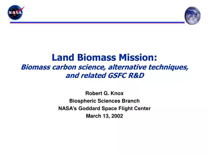
Land Biomass Mission: Biomass carbon science, alternative techniques, and related GSFC R&D. Robert G. Knox Biospheric Sciences Branch NASA’s Goddard Space Flight Center March 13, 2002. CRITICAL GAP: Ecosystem carbon storage due to biomass and its change. SOLUTION:

E N D
Land Biomass Mission:Biomass carbon science, alternative techniques, and related GSFC R&D Robert G. Knox Biospheric Sciences Branch NASA’s Goddard Space Flight Center March 13, 2002
CRITICAL GAP: Ecosystem carbon storage due to biomass and its change. SOLUTION: Design and launch satellite to measure biomass and its change. Land biomass in Code Y priorities Code Y research priorities addressed: • How are global ecosystems changing? • Changes in global land cover & land use? and their causes? • Ecosystem responses and effects on the global carbon cycle? • Consequences of land cover and land use change for the sustainability of ecosystems and economic productivity? • Future concentrations of carbon dioxide and methane? Capabilities and needs for Carbon Cycle Science: Bob Knox, Code 923, NASA's Goddard Space Flight Center
Clusters of related scientific objectives All of these notional missions measure the biophysical structure of terrestrial ecosystems: • Land biomass mission • Biomass change mission • “High density” biomass (20-50 Mg/ha to 500 Mg/ha [5000?]) • “Low density” biomass (shrublands, grasslands, tundra, agriculture) • Ecosystem vertical/3-D structure (biodiversity, structure-function) • Disturbance detection and characterization • Ecosystem response to disturbance (Vegetation Recovery Mission, VRM, listed as notional mission EX-6 in Post-2002 plan) • Vegetation canopy lidar (VCL) mission (ESSP-1, first global exploration of land surface vertical structure: has climate science, biodiversity, and topography goals, as well as carbon science) Bob Knox, Code 923, NASA's Goddard Space Flight Center
Measurement requirements • State-of-the-science: • Uncertainty ±100 Pg-C on a ~400 Pg-C pool • Most biomass in land plants; plant dry mass ~50% carbon • Target requirements: • Measure stocks and changes 5 to 10 Mg/ha accuracy • Maps for global and regional models at 10-25 km scales • Study needed to elaborate requirements, model trades • Previous pessimism about biomass remote sensing allayed by results with GSFC airborne lidars: • ~20 Mg/ha in near ‘worst case’ tropical forest • R2 0.9 in high biomass tropical and temperate rainforests • Some generality across biomes demonstrated, remaining issues with ground data, steep slopes, sparse canopies Bob Knox, Code 923, NASA's Goddard Space Flight Center
Some mission concepts for land biomass Imaging Lidar Concept P-band SAR with Profiling Lidar Concept Hyperspectral Concept
Range of plausible techniques • Imaging Lidars (see overview by Imaging Lidar Working Group) • Enhanced VCL, e.g., 10 nearby laser profiles • BIRCH (pixelated belt transects) • Megahertz imaging lidar • Photon-counting microaltimeter • 2-color biomass lidar • P-band SAR with profiling lidar • InSAR (L-band or P-band) • Hyperspectral imager • High resolution multispectral imager (“hyperspatial” texture) All these active and/or high data-rate sensors would complement data from instruments/missions providing more frequent/detailed wall-to-wall coverage, e.g., ETM+, MODIS, LCDM, VIIRS, either to produce global products or place process studies in context. Bob Knox, Code 923, NASA's Goddard Space Flight Center
Goddard engineering & technology Bob Knox, Code 923, NASA's Goddard Space Flight Center
Future development plan • Track progress in GSFC, JPL, and university efforts • Code Y sponsored requirements workshop • Develop and test research data products from IceSAT, ALOS, commercial platforms, SLA-03(?) • Compare performance among techniques in field campaigns (including airborne versions of newer instrument concepts) • Support re-start of VCL pathfinder, community participation in biomass product development and validation • Establish path to include best available remote biomass data in new carbon-cycle land cover data products • ESSP-5(?) proposals or future MIDEX-like/Discovery series AO • Look to infuse other new techniques and technologies for later mission opportunities (e.g., VRM, carbon cycle constellation, Dynamic topography misison) Bob Knox, Code 923, NASA's Goddard Space Flight Center
Related missions previously submitted by 920 as future opportunities • Space Station Lidar Technology • Multi-frequency and imaging lidar technology demonstrator and/or augmented shuttle laser altimeter pathfinder [Harding, Degnan, Knox, Rall] • Biomass Dynamics (Carbon Cycle) • Active NDVI lidar profiles [Knox, Rall] • Dynamic Topography and Ecosystem Change • Multi-frequency imaging lidar [Harding, Degnan] Bob Knox, Code 923, NASA's Goddard Space Flight Center
Why remote measurement of forest biomass is hard • Spatial variability • biomass is not continuous at fine scales • internal processes cause large variations at 5 to 50 m scales • samples of 1 ha (100 x 100 m) often required for stable estimates • differences in external constraints of interest (land use history, soil, aspect, climate) only become more important at 200 to 300 m scales • Ground measurements are labor-intensive and difficult to do well • most existing field plots are too small to provide precise local estimates • masses of large plants are modeled, not measured • During recovery from disturbance, biomass doesn’t stabilize early • usual sequence: fPAR LAI stem density canopy height biomass • Confounding signals • topographic roughness and slope • soil and canopy moisture • seasonality • artificial structures Bob Knox, Code 923, NASA's Goddard Space Flight Center