Download
1 / 14
140 likes | 288 Views
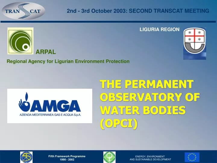
2nd - 3rd October 2003: SECOND TRANSCAT MEETING. LIGURIA REGION. ARPAL Regional Agency for Ligurian Environment Protection. THE PERMANENT OBSERVATORY OF WATER BODIES (OPCI). 2nd - 3rd October 2003: SECOND TRANSCAT MEETING.

E N D
2nd - 3rd October 2003: SECOND TRANSCAT MEETING LIGURIA REGION ARPAL Regional Agency for Ligurian Environment Protection THE PERMANENT OBSERVATORY OF WATER BODIES (OPCI)
2nd - 3rd October 2003: SECOND TRANSCAT MEETING THE PERMANENT OBSERVATORY OF WATER BODIESwas instituted in 1995 by the regional law n° 43. THE PERMANENT OBSERVATORY OF WATER BODIES is aimed at monitoring the quality of water bodies of rivers and groundwater as well as meteorological parameters. Actually THEPERMANENT OBSERVATORY OF WATER BODIES includes 25 monitoring stations which cover the whole regional territory.
2nd - 3rd October 2003: SECOND TRANSCAT MEETING Location of MONITORING STATIONS in Liguria Region
2nd - 3rd October 2003: SECOND TRANSCAT MEETING MONITORING STATIONS differ in the sets of sensors they have. We can distinguish three modules: 1. Modules for the monitoring of surface water quality; 2. Modules for the monitoring of groundwater quality; 3. Modules for the monitoring of meteorological parameters. The biggest part of the MONITORING STATIONS are the combination of 2 or 3 of the over mentioned modules.
2nd - 3rd October 2003: SECOND TRANSCAT MEETING EXTERNALandINTERNALview of a standard monitoring station METEOROLOGICAL MODULE CHEMICAL AND BIOLOGICAL ANALYZER
2nd - 3rd October 2003: SECOND TRANSCAT MEETING MONITORED PARAMETERS WATER: Temperature, pH, Redox, Conductivity, Oxygen, Turbidity, Sedimentable solids, Surface water level, Groundwater level, Total Organic Carbon (TOC), Ammonium. AIR: Temperature, Relative humidity, pH, Conductivity and Temperature of rain, Wind velocity, Solar radiation, Atmospheric pressure.
SAMPLES MONITORING STATIONS CHEMICAL AND BIOLOGICAL LAORATORY SUPERVISION CENTRE DATABASE AND G.I.S. 2nd - 3rd October 2003: SECOND TRANSCAT MEETING
2nd - 3rd October 2003: SECOND TRANSCAT MEETING SUPERVISION CENTRE OF GAVETTE (AMGA operating site)
2nd - 3rd October 2003: SECOND TRANSCAT MEETING DATA BASE Data from laboratory and monitoring stations are stored in a local server, validated and successively: - sent to the DATABASE of Ministry of Environment called SINA(Environmental National Information System) - stored in a local DATABASEcalled G.O.C.C.I.A. which includes all data from company activities concerning integrated water cycle management
2nd - 3rd October 2003: SECOND TRANSCAT MEETING ABOUT G.O.C.C.I.A. … ORACLE DATABASE with a friendly interface composed of modules and tables Present in AMGA since 2000 Automatically updated every 24h through specific software with the data of sensors in field and laboratory analysis Composed of 32 Oracle tables, 3,000 static data and 60,000 variable data
2nd - 3rd October 2003: SECOND TRANSCAT MEETING INTEGRATION OF AVAILABLE DATA WITH GIS Up to now any elaboration of data from monitoring stations has been carried out through a GIS (not suitable sampling points) GIS has been used to geographically referred monitoring stations sampling points (e.g. further integration with hydraulic and ecological models for quantitative and qualitative studies) GIS applications have been possible only combining monitoring stations data with data from other sensors (e.g. meteorological radar)
RAINFALL FIELD FORECAST 2nd - 3rd October 2003: SECOND TRANSCAT MEETING RAIN FIELD RECONSTRUCTION (RAIN GAUGE + RADAR)
2nd - 3rd October 2003: SECOND TRANSCAT MEETING THANK YOU FOR YOUR ATTENTION! E-mail: transcat@amgaspa.it