Download
1 / 18
180 likes | 309 Views
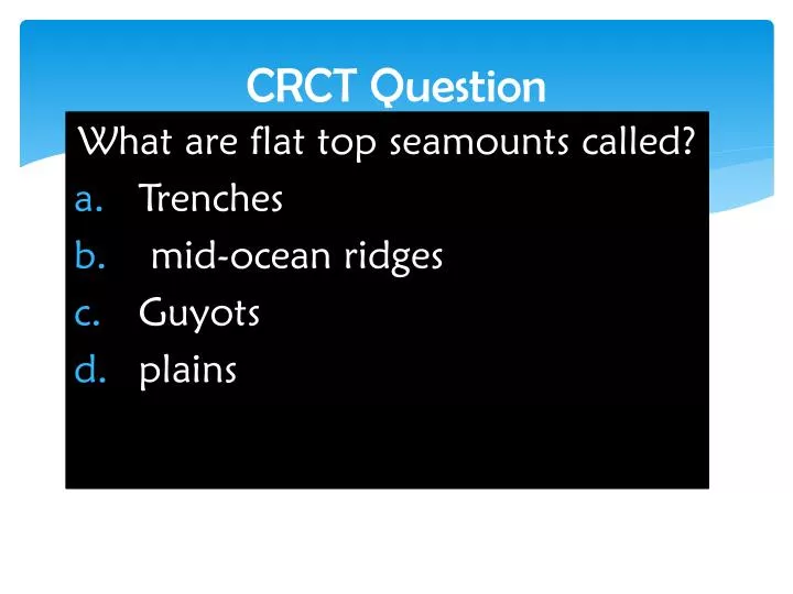
CRCT Question. What are flat top seamounts called? Trenches mid-ocean ridges Guyots plains. Gallery Walk. Coffee Talk. Extention : Features and life on the Ocean Floor . How do we know what the ocean floor looks like?. National Geographic “DRAIN THE OCEAN ” Part 2.

E N D
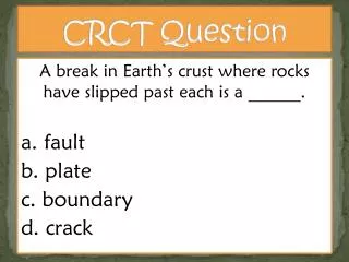
CRCT Question What are flat top seamounts called? Trenches mid-ocean ridges Guyots plains
Coffee Talk Extention: Features and life on the Ocean Floor
How do we know what the ocean floor looks like? National Geographic “DRAIN THE OCEAN” Part 2
Pick your Hat! Red Hat: What are your thoughts and feelings as your watch this? White Hat: Find important Facts and information Blue Hat: What questions to you still have after watching this Green Hat: What ideas for your project did you get from watching this?
What can I add to my project? All done? Go to my website and “tag the text” for the last part of our notes You may add items you think you need before you hand it in
Tagging the Text +=New information ?=don’t understand Star=very important to remember Bubble=I wonder more about this
Mapping the ocean floor SCUBA Sonar Submersibles Satellites
Features of the Ocean Floor Shoreline – a boundary where the land and the ocean meet Continental margin – area where the underwater edge of a continent meets the ocean floor. Continental shelf – relatively flat part of a continental margin that is covered by shallow ocean water Continental slope – marks the boundary between the crust of the continent and the crust of the ocean floor.
Abyssal Plains – large flat areas on the ocean floor. Seamounts and Guyots – scattered along the floor of the ocean are thousands of underwater mountains called seamounts. They are volcanic mountains that rise more than 1000 meters about the surrounding ocean floor. Flat top seamounts are called guyots. Trenches – the greatest depths found along the edges of the ocean floor Midocean ridge – mountain ranges on the ocean floor.
Ocean Life Zones Intertidal zone – lies between the low and high tide lines. Hard for living things to survive. Neritic Zone – extends from the low tide line to the edge of the continental shelf. Rich in life. Open-Ocean Zone – bathyal and abyssal zones, no sunlight, plants do not grow, little food is available, most animals are small.
Ocean Motions Waves – are pulses of energy that moves through the ocean. Caused by wind blowing over long distances. Also affected by how long the wind has been blowing. Deep water is not affected by wave motion as much as surface. Tides – are the daily rise and fall of the sea level along a coastline They are caused by the gravitational pull of the moon and sun on the earth. There are 2 high tides and 2 low tides every 24 hours This means the tide goes from high to low in about 6 hours.
Spring tides • Are tides that are especially high or low during a 24 hour period. • They are caused by the earth, moon, and sun lining up in a straight line and the pull on the oceans is especially strong. Neap tides • Tides that show very little change between high and low tide during a 24 hour period. • They are caused by the earth, moon, and sun forming a right angle and the pull on the oceans is weak
Currents – an ocean current is a “river” of moving water with the ocean. Example – Atlantic Gulf Stream • The water in the current has the same properties and does not mix much with the rest of the ocean. • All ocean currents flow in predicable patterns • Surface currents, like waves, are driven and determined by wind and the Coriolis effect • Coriolis effect – the apparent curving of the path of a moving object from an otherwise straight path due to the Earth’s rotation. • Ocean currents can affect climate by warming or cooling the air above the current. Example – England is warmer than it should be based on its latitude because of the Gulf Stream current coming from the southern USA.