Download
1 / 36
410 likes | 570 Views
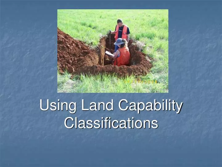
Using Land Capability Classifications. Next Generation Science/Common Core Standards Addressed!.

E N D
Next Generation Science/Common Core Standards Addressed! • CCSS.ELA-Literacy.RST.9-10.3 Follow precisely a complex multistep procedure when carrying out experiments, taking measurements, or performing technical tasks, attending to special cases or exceptions defined in the text. • CCSS.ELA-Literacy.RST.9-10.9 Compare and contrast findings presented in a text to those from other sources (including their own experiments), noting when the findings support or contradict previous explanations or accounts • CCSS.Math.Content.HSN-Q.A.3 Choose a level of accuracy appropriate to limitations on measurement when reporting quantities
Work! • 1. Define land capability and ways to improve it. • 2. Identify factors that determine land capability. • 3. Explain the land capability classification system.
Arable land Capability factors Capability unit Erosion Internal drainage Irrigation Land capability Land capability subclasses Land forming Slope Soil depth Soil permeability Surface drainage Surface runoff Surface texture Terms
Interest Approach • Just as animals can be classified as to what they produce, land can be classified as well. • We know beef cattle are used to produce beef and dairy cattle are raised for dairy products. • Land is classified so producers know the best production practices to use on the land for the highest profitability.
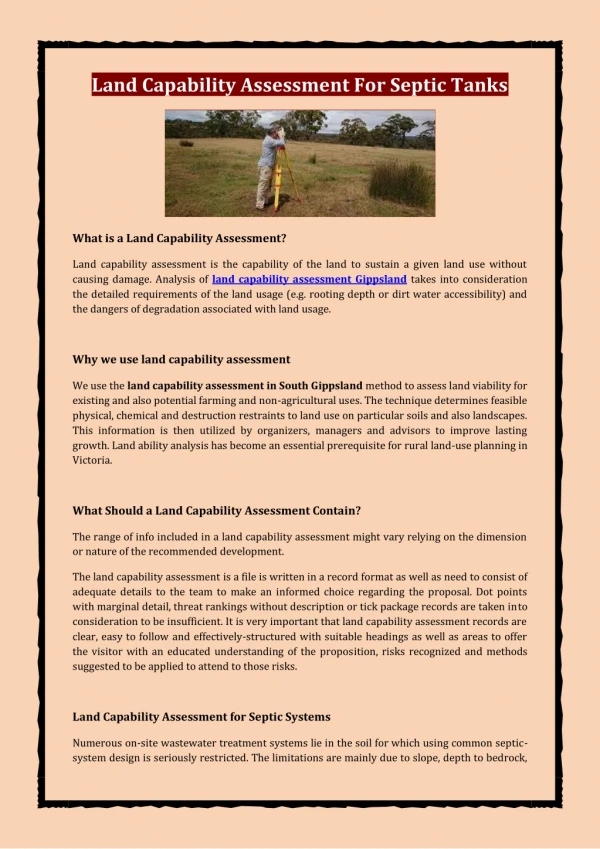
What is land capability and how can it be improved? • Land capability is the suitability of land for agricultural uses. • The uses should not cause any damage to the land. • Arable land is land that can be used for crops. • These crops typically require some form of tillage to the soil.
To improve arable land, the producer can utilize various cropping practices. Four common practices are irrigation, erosion control, drainage, and forming.
Irrigationis the artificial application of water to soil or a growing medium to assure adequate moisture for plant growth. It is often used on a supplemental basis in areas where seasonal shortages of water may reduce crop yields.
Erosion control, excessive erosion may result in land that is no longer fertile. The long-term productivity of land can be assured by controlling soil erosion.
Land sometimes needs surface or internal drainage. Surface drainage is removing water from the surface of the land. Ditches and terraces are most often used for this purpose. Internal drainage is the removal of water within the soil profile. This may be improved with drain tiles or tubes installed below the normal plowing depth of the soil.
Land forming is the smoothing or reshaping of the land to enhance the use of the land. Small dips are filled and high places are taken down. Typically, land forming involves using laser-guided equipment to assure a good surface.
Capability factors are the characteristics of land that determine its best crop/alternative use. These factors include both surface and subsurface characteristics. Some common factors are surface texture, internal drainage, soil depth, erosion, slope, and surface runoff.
Surface texture is the proportion of sand, silt, and clay in the soil in the A horizon (top Layer) Soil can be classified as either: Coarse – sand Moderately Coarse – sand, loam mix Medium – loam Moderately fine- clay, loam mix Fine- clay particles
Internal drainage is known as permeability. Soil permeability is the movement of air and water through the soil. It is determined by the texture and structure of the soil. It can be classified as very slow, slow, moderate, and rapid.
Soil depth is the thickness of the soil layers that are important in crop production. Soil depth classifications are very shallow, shallow, moderately deep, or deep.
Erosion is the loss of topsoil by water, wind or other forces. Much of the fertility of land is in the topsoil. Four categories of erosion are used: very severe erosion, severe erosion, moderate erosion, and none to slight erosion.
Erosion Categories • None to Slight Erosion- 0-25% of original topsoil removed • Moderate Erosion- 26-75% of original topsoil removed or 1 crossable gully present. • Severe Erosion – 76% plus of the original topsoil removed or 1 un-crossable gully present. • Very Severe Erosion – More than 1 un-crossable gully present.
Slope is the rise and fall in the elevation of land. It is measured in percent or the number of feet of rise and fall in 100 feet. Six classes of land slope are commonly used: very steep, steep, strongly sloping, moderately sloping, gently sloping, and nearly level.
Degree of slope! • Nearly level = 0- up to 1 foot of slope in 100’ • Gentle slope = 1 – up to 3 feet of slope in 100’ • Moderate slope = over 3’ of slope up to 5’ in 100’ • Strong slope = over 5’ of slope up to 8’ in 100’ • Steep slope = over 8’ of slope up to 15’ in 100’ • Very steep slope = greater than 15’ of slope in 100’
The slope of the land plays a major role in the level of erosion on the soil.
Surface runoff is the water from rain, snow, or other precipitation that does not soak into the ground. The amount of runoff depends on the soil texture and slope of the land. The categories of surface runoff are: very slow, slow, moderate, and rapid.
Categories of soil runoff! • Very Slow = 0-1’ of slope on coarse soil • Slow = 0-1’ of slope on other textures • Moderate = 1-3’ of slope on any texture • Rapid = over 3’ of slope on any texture
What is the system used to classify land capability? • The system of land capability classification involves land classes, subclasses, and capability • Land capability classes are based on the capability factors of the land. • The Roman numerals I thru VIII are used. • The land capability classes are:
Class I: Very good land Class I land has no limitations. It is nearly level and has deep soil, good internal drainage, and good surface drainage. This land can be cropped every year without special practices to control erosion.
Class II: Good land This land has deep soil with a few limitations. The soil requires moderate attention to conservation practices. Contour plowing and other easy to use practices are often used.
Class III: Moderately good land This land has more limitations than Class II. Crops must be more carefully selected. This land is often found on gently sloping hills. Increased attention must be given to conservation practices, such as terraces and strip cropping. This land can be productive with proper management by the producer.
Class IV: Fairly good land This class of land is the lowest that should be cultivated. It has very severe limitations that restrict the choices of crops and require special conservation management practices. This land is on hills and has more slope than land found in Class III. The land is frequently subject to erosion, especially gullies.
Class V: Unsuited for cultivation Class V land can be used for pasture crops, cattle grazing, hay crops, and tree farming. The land is often used for wildlife and recreation areas. The soil typically has good tilth and fertility, but is restricted in use by rock outcrops or frequent overflow from nearby waterways, slope or erosion factors.
Class VI: Not suited for row crops This land class has too much slope for growing row crops. The soil may have fair productivity if it has not been damaged by erosion. Gullies often quickly form if not carefully managed.
Class VII: Highly unsuited for cultivation • Class VII land has severe limitations. This class should not be cultivated. • Best uses are permanent pasture, forestry, and wildlife. • Slope is often well over 12 percent. • The soil is very shallow. • Large rock surfaces may be present. • This land is often found in dry areas.
Class VIII: Unsuited for plant production This land cannot be used for row crops or other crops where the land is tilled. It is often lowland covered with water most or all of the time or extremely steep. The soil may be wet and high in sand or clay. This class of land is often used for waterfowl habitat.
Review/Summary • What is land capability and how can it be improved? • What factors determine land capability? • What is the system used to classify land capability?