Download
1 / 55
590 likes | 799 Views
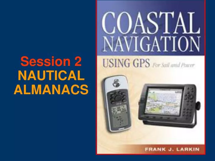
Session 2 NAUTICAL ALMANACS. Objectives. To become familiar with: 1. Nautical Catalog Number 1. 2. Dates and Latest Editions. 3. Light List. 4. Coast Pilot. 5. LNM—Local Notice to Mariners. 6. Tide Tables. 7. Tidal Current Tables. 8. Tidal Current Charts. 9. Nautical Chart No. 1.

E N D
Objectives To become familiar with: 1. Nautical Catalog Number 1. 2. Dates and Latest Editions. 3. Light List. 4. Coast Pilot. 5. LNM—Local Notice to Mariners. 6. Tide Tables. 7. Tidal Current Tables. 8. Tidal Current Charts. 9. Nautical Chart No. 1.
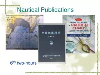
Introduction toNAUTICAL ALMANACS • There are various catalogs and almanacs published by the Coast Guard, other Federal agencies, and the private sector which provide information important to the small boater. • Each publication fills a distinct purpose.
Nautical Chart Catalog 1- Purpose • Provides the answer to the question, “What nautical charts should I use in this area?” • You will find a copy of this document in every good chart dealer’s store. • A sample document is being passed around for review.
2. Dates of Latest EditionsNautical Charts & Misc. Maps • Published quarterly. • Shows you the Edition Number and Date for each nautical chart. • Insures that you are buying the most up-to-date chart. • Sample document is being passed around for review.
Dates of Latest EditionsNautical Charts & Misc. Maps • This publication lists each chart by: • Chart Number, • Chart Scale, • Price, • Edition Number, • Edition Date, and • Printing Revision Date.
3. LIGHT LISTPurpose • Provides more and complete data about each Aid to Navigation – lighted and unlighted. • Shows data that cannot be printed on a nautical chart. • Two Major Sections: • Offshore Buoys—found in front of Light List. • Coastal Buoys
LIGHT LIST - Purpose • To provide mariners with more complete details about Aids to Navigation—ATONs. • A catalog of: • All Aids to Navigation—ATONs. • Lights. • Sound Signals. • Color. • Type • Radio Beacons and signals. • Structure. • Latitude and longitude – good for use as waypoints in your GPS. • Ownership – private or federal.
LIGHT LIST Publications • Printed in Seven Volumes: • ME to NJ • NJ to SC • SC to FL • FL to TX • Mississippi River System • Pacific Coast • Great Lakes
LIGHT LIST - Typical Page • Light List Number • Each ATON is assigned a specific number. • Number is changed periodically. • ATONs Name • Each ATON has a unique name which includes the name of the body of water in which the aid is located. • Geographic Position – LAT/LON • Light characteristic • Height above water
Height above water explained • Floating Aid – The height is measured from the water line to the level of the light bulb—focal plane. • Fixed Aid – The height is measured from Mean High Water (MHW) level to the height of the light bulb—focal plane.
LIGHT LIST - Typical Page • Nominal Range of Light • Maximum distance at which a light can be seen in clear weather. • Distance is expressed in nautical miles. • Structural Characteristics • Special construction features or material is indicated.
Light List California No. Name Location Range Height Structure Remarks Year Seacoast
LIGHT LIST - Typical Page • General Remarks • Data on signal characteristics. • Light sectors—arcs of visibility. • RADAR reflectors. • Emergency back-up lights. • Seasonal ATON deployment. • Data about Private Aids.
Pt. Loma Light Height Above Water = 88 ft. from the Light List
Pt. Loma Light Nominal Range = 23 n m from the Light List
Luminous Range 15 n m Meteorological Visibility 5 n m Luminous Range - nautical miles Nominal Range 23 n m Nominal Range - nautical miles
Visible Distance to the Horizon Observer’s Height of Eye = 16 feet D = 1.17 H Visible Distance = 5 n m
You may see a minor light or buoy at half again its nominal range.
Visible Distance to the Horizon Lighthouse Height Above Water = 88 feet D = 1.17 H Visible Distance = 11 n m
Be sure to maintain your night vision at all times.
COAST PILOTPurpose • Supplements information shown on Nautical Charts. • Shows data that can’t be coded or abbreviated on a Nautical Chart. • A sample document is being passed around for your review.
COAST PILOTUpdates • Received from: • NOAA Field Inspections. • LNM Information. • Hydrographic Vessels. • Other Government Agencies. • State and local Governments. • Maritime and Pilotage Associations.Port Authorities.
COAST PILOTPublished in 9 Volumes • ME to Cape Cod. • Cape Code to Sandy Hook. • Sandy Hook to Cape Henry. • Cape Henry to Key West. • Gulf of Mexico, PR, Virgin Islands. • Great Lakes. • West Coast, Hawaii. • Alaska (2 volumes).
COAST PILOT - Contains • Channel descriptions. • Anchorages. • Bridge and cable clearances. • Currents. • Tide and water levels. • Prominent features. • Pilotage
COAST PILOTSix Major Sections 1. General Information. 2. Navigational Regulations. 3. General information about the area. 4. Specific information about the area. 5. Appendix. 6. Tables.
COAST PILOTContains more information: • Towage. • Weather. • Ice conditions. • Dangers. • Routes. • Traffic Separation Schemes. • Federal Regulations for area. • Locks and Dam regulations and signals.
COAST PILOTTables • Climatological Tables. • Meteorological Tables. • Mean surface water temperature and densities. • National Weather Service coastal warning displays. • Nautical miles between points.
COAST PILOTMore Tables • Radio bearing conversion table. • Distance of visibility of objects at sea. • Conversion table—degrees to points and vice versa. • Conversion tables. • Table for estimating time of transit. • Index
COAST PILOTCorrections • Corrections are published in the Local Notice to Mariners—LNM.
LNMLocal Notice to Mariners • Issued weekly, at no cost to the user, by the United States Coast Guard.
LNM Sections ISpecial Notices. II Discrepancies. III Temporary changes - Temporary changes corrected. IV Chart corrections. V Advance Notices VI Proposed changes to ATONs. VII General VIII Light List corrections. Marine Events. Coast Pilot Updates.
Broadcast Notice to Mariners United States Coast Guard On VHF-FM Channel 22A
TIDE TABLESPurpose • To provide a means of predicting the height of tide for each day of the year. • Provide other astronomical date and tables to the mariner.
TIDE TABLES - Contents • Table 1 – Daily Tide Predictions. • Table 2 – Tidal Differences and other constants. • Table 3 – Height of Tide at any time. • Table 4 – Local Mean Time of Sunrise and Sunset. • Table 5 – Reduction of Local Mean Time to Standard Time.
TIDE TABLES - Contents • Table 6 – Moonrise and Moonset • Table 7 – Conversion of feet to meters. • Table 8 – Tide Prediction Accuracy • Glossary of Terms • Index to Stations • Astronomical data
TIDAL CURRENT TABLES Purpose • To provide a means to predict the set and drift of the current for every day of the year. • To provide additional tables to help the mariner convert current set and drift.
TIDAL CURRENT TABLESContents • Table 1 – Daily Current Predictions. • Table 2 – Current Differences and other Constants and Rotary Tidal Currents. • Table 3 – Speed of Current at any Time. • Table 4 – Duration of Slack. • Table 5 – Rotary Tidal Currents. • The Gulf Stream
TIDAL CURRENT TABLESContents • Wind-driven currents. • The Combination of Currents. • Current Diagrams. • Publications relating to Tide and Tidal Currents. • Glossary of Terms. • Index to Stations.
CHART No 1 – Nautical Chart Symbols Abbreviations and Terms • Contains every abbreviation and symbol used of a Nautical Chart. • A must for every serious navigator.
ANY QUESTIONS? How do you know when a nautical chart or a almanac is changed?