Download
1 / 12
120 likes | 128 Views
GIS as a tool to help determine the effects of aquatic systems polluted with nutrients. Term Project Phillip Udom December 1, 2015 CEE 6440 – GIS in Water Resources. Introduction.

E N D
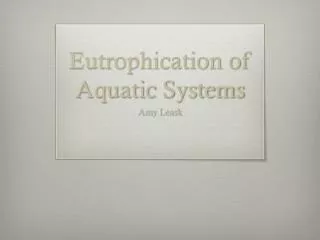
GIS as a tool to help determine the effects of aquatic systems polluted with nutrients Term Project Phillip Udom December 1, 2015 CEE 6440 – GIS in Water Resources
Introduction An aquatic system is said to be polluted with nutrients when there is a noticeable increase in oxygen concentration due to photosynthesis during the day and a drop in oxygen concentrations at night due to respiration. Of all the nutrients required for aquatic plant growth, phosphorus typically limits plant growth. An increase or addition of phosphorus to an aquatic system leads to an explosion of plant growth, a process called eutrophication.
Introduction • The problem with Eutrophication • The purpose of this project is to use GIS as a tool to help facilitate analyses and integrate information from the Utah Water Research Laboratory, College of Engineering, Utah State University and other data obtained using CUAHSI HydroDesktop.
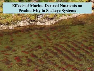
Materials and Methods Samples and data from the Logan River and Little Bear River will be compared to determine if the river system is clean or polluted. Three methods were used to determine dissolved oxygen concentrations namely: Iodometric (with azide modification), field kit, and membrane probes.
Materials and Methods CUAHSI HydroDesktop was used to obtain 24-hr continuous monitoring data of dissolved oxygen from the Logan River and Little Bear River. Data from the Utah Water Research Laboratory, College of Engineering, Utah State University was also used to obtain a time series of observation from water quality monitoring site in the both Rivers.
Results and DiscussionsFigure 1. Logan River watershed/land cover
Results and DiscussionsFigure 2. Little Bear River Watershed/Cropland
Results and DiscussionsFigure 3. Graph of DO levels in the Logan River
Results and DiscussionsFigure 4. Graph of DO levels in the Little Bear River
Results and DiscussionsFigure 5. Graphical illustration of the Temperature and Percent DO Saturation versus time
Summary and Conclusion The data obtained from the water lab and GIS based tools helped show the effects of a polluted aquatic system. The Logan River is not polluted with nutrients compared to the Little Bear River that shows effects of a polluted aquatic system.` Better management practices can help control the phosphorus problem.