Download
1 / 19
200 likes | 432 Views
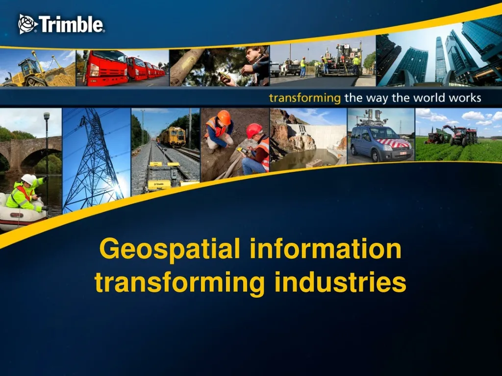
Geospatial information transforming industries. “Enhancing” and “transforming” technological changes. Enhancing : P rovides significant incremental benefits but does not alter underlying roles & relationships within an industry or profession. Transforming:

E N D
“Enhancing” and “transforming” technological changes Enhancing: Provides significant incremental benefits but does not alter underlying roles & relationships within an industry or profession • Transforming: • Alters the structure and roles within an industry or profession • Marine chronometer – enabled an international system • Cotton gin – commercialized cotton agriculture • Water frame – launched factory-based manufacturing • Haber process – transformed agricultural yields • Internet
New technologies applied to the geospatial world have driven exponential changes in productivity and quality Points Day Antiquity Current Day
The declining cost of geospatial technology opens up new uses for high accuracy geospatial data Cost/Point Accuracy/€ of Expenditure Time
Technology convergence has created the potential to redefine roles and context in the “digital era” Antiquity GNSS EDM/Laser Digital Photogrammetry Transforming Era
Major parallel technology trends have driven the definitional change with even more significant trends emerging Sensors Sensor Integration Real Time Big Data Cloud Computing 3D Models Software Intelligence Processing Power Data Storage Connectivity Visualization & Interaction
Sensors remain an active area of development and create the potential for “big data” solutions Angle & Distance Measurement Integrated Mobile Mapping Theodolites, tapes, chains Total Stations 3D Scanning EDM Space & Inertial Measurement Inertial Surveying Transit GPS Galileo/GNSS/Inertial Photogrammetry & Remote Sensing High Resolution Remote Sensing Terrestrial Photogrammetry Airborne Scanning BIG DATA Peripheral Sensors Barometers, Gravimeters RFID Automotive Sensors Billions of Devices/Sensors
This processing power revolution has progressively impacted the geospatial work process Integrated & Real Time Decision Making in the Field Early Automation Mechanical and Manual Field Centered Intelligence Digital Beginning 20th Century > 2000 1990’s 1980’s
Analysis, Modeling & Applications Measurement & Data Collection Interpretation & Quality Control Roles to Be Defined “Data Management” Traditional Comfort Zone “Data Collection” Key Skills: Instrumental precision Meticulous calculations Key Values: Accuracy Credibility Reliability Key Skills: Establishing context Managing complexity Data management Key Values: Accuracy Credibility Reliability Collaboration
Heavy Construction Geospatial Value Proposition Survey Cadastre Analytics & decision support Modeling Connectivity • Work Management • Yield Management • Fleet analytics • Driver safety • Environmental • Cost analysis • Time analysis • FEA • Road/rail alignment • Design coherency • Virtual Reality • Farm Management • Field Inspection • 3D modeling • Point cloud • Visualization • Project Management • Mechanical design • Structural design Positioning & Sensors • Cell • Radio • IP • WiFi • Bluetooth • Satellite Building Construction • GNSS Receiver • Image capture • Laser tools • Machine control • Scanner • Total Station • RFID Agriculture Transportation Logistics Emerging Markets
transformingTHE WAY THE WORLD WORKS – ACROSS MULTIPLE INDUSTRIES & PROFESSIONS Agriculture Heavy Civil Construction Building Construction Geospatial Transportation & Logistics Rail Environmental & Waste Water Utilities Electric Utilities Mining Forestry Field Service Oil, Gas & Chemical OEM& Consumer Government
transformingTHE WORK OF GEOSPATIAL PROFESSIONALS • A suite of advanced solutions across the entire data collection, processing, modeling and analysis workflow, leading to: • Faster Project Completion • Reduced Re-work, Labor • Enhanced Quality • Enhanced Service Capabilities • Enhanced Worker Safety Surveying Topographic Data Analysis Reporting Cadastral & Land Administration GIS and Mapping 3D Modeling & Imaging
transformingHEAVY CIVIL CONSTRUCTION – PLANNING, DESIGNING, BUILDING AND OPERATING • Enhanced information, decision making and control across the entire project lifecycle, generating benefits including: • Faster Completion • Reduced Fuel, Re-work, Labor • Enhanced Worker Safety • Reduced Environmental Impact Design Earthworks Construction Maintenance and Operation Feasibility and Planning Survey Estimation
transformingTHE WORK OF BUILDING DESIGN, CONSTRUCTION & OPERATION • A suite of solutions for the entire design-build-operate lifecycle, generating results including: • Faster Completion • Reduced Re-work, Labor • Improved Quality, Collaboration & Data Flow • Improved Asset & Facility Lifecycle Management Trimble Buildings: An integrated set of best-in-class solutions for Building Owners, Architects, General Contractors, Sub-Contractors and MEP Trades. Construction Maintenance and Operation Design Survey Estimation Fabrication Feasibility and Planning
Agriculture is being transformed through the use of information embedded in a centimeter level geospatial context • Farm planning, mapping & management • Tractor & implement guidance & control • Variable rate applications of seeds, fertilizers, and pesticides • Yield mapping • Increased yields • Reduced input costs: • Fuel, fertilizers, pesticides • Reduced environmental impact. Mapping Analysis Monitoring Topographic Productivity Accounting Record Keeping Annual Economic Benefits of Precision Agriculture to U.S. Crop Farming Pham et. al. 2011, The Economic Benefits of Commercial GPS Use High precision geospatial information is used and fed back across the entire cycle
transforming TRANSPORTATION & LOGISTICS 30% Improvement Productivity Asset Utilization Compliance Trimble solutions for long haul trucking, field service management and construction logistics track and manage over 1,000,000 assets globally, operating on every continent. 30% Reduction Fuel Use CO2 Emissions Claims Costs Empowerment Data Analysis Reporting & Analytics Field Service Long Haul Trucking Diagnostics Schedule & Dispatch Driver Safety Of Field Workers and Customers RFID
transforming ENABLING OUR CUSTOMERS TO MAKE MORE INFORMED, MORE TIMELY DECISIONS, GENERATING BENEFITS INCLUDING: