Download
1 / 17
170 likes | 176 Views
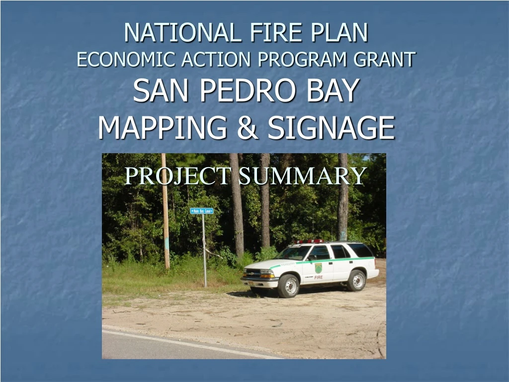
NATIONAL FIRE PLAN ECONOMIC ACTION PROGRAM GRANT SAN PEDRO BAY MAPPING & SIGNAGE. PROJECT SUMMARY. A PARTNERSHIP IN COOPERATION. This Project a Success Due to The Input Of: San Pedro Bay Landowners Association Florida Division of Forestry Suwannee River Water Management District

E N D
NATIONAL FIRE PLANECONOMIC ACTION PROGRAM GRANTSAN PEDRO BAY MAPPING & SIGNAGE PROJECT SUMMARY
A PARTNERSHIP IN COOPERATION This Project a Success Due to The Input Of: • San Pedro Bay Landowners Association • Florida Division of Forestry • Suwannee River Water Management District • Local County Governments • U. S. D. A. Forest Service
The San Pedro Bay Landowners Association (SPBLA) consists of landowners, land managers, state agencies, county governments, and other interested parties working together as a unified team in forest resource protection through wildfire pre-planning, hazard mitigation, and other wildfire prevention efforts in and around the San Pedro Bay area.
The San Pedro Bay The San Pedro Bay is a hydrologic feature that consists of a large land area covering portions of Taylor, Madison, Lafayette, & Dixie Counties in the Florida Big Bend. At one time this area was an open water bay. Changes were implemented in this area during the mid-20th century in order to make portions of the area suitable for pulpwood production. ►
The San Pedro Bay The San Pedro Bay area today consists primarily of a mixture of pine flatwoods (planted & aerial seeded) and isolated forested wetlands with vast areas of organic soil (muck). Due to short pulpwood rotations, fuels management in this area is limited which leads to heavy fuel buildups (as high as 96 tons/acre in some areas). These heavy fuel buildups and muck soils coupled with remoteness of the area and limited access make this area notorious for damaging wildfires.
“The Pocosin,” Native American word for “swamp on the hill”
The Mallory Swamp Wildfire On May 14, 2001 Lightning Started One of Florida’s Largest Wildfires
The Mallory Swamp Wildfire Millions $$$$$ Timber Lost
The Mallory Swamp Wildfire The Interface Threatened
The Mallory Swamp Wildfire Lives Threatened!!!!
The Project The SPBLA, with the assistance of the Division of Forestry (DOF) and the Suwannee River Water Management District (SRWMD), and this grant, designed a comprehensive mapping and road signage project in the San Pedro Bay Wildfire Management Area (including portions of Taylor, Madison, Lafayette & Dixie Counties). Phase I of this grant project consisted of creating a GIS database and production of maps containing valuable information including road names, ownerships, property boundaries, water sources & helicopter dip sites. Phase II includes the purchase of 706 road signs to be installed throughout the San Pedro Bay in an effort to improve wildfire response and resource management in the Bay.
Positive Outcomes – PHASE I • Printed maps for all landowners & managers • Data CD’s with GIS files for all landowners & managers • Consistency in road names throughout the area • A GIS data base for current & future use • Closer working relationships between all parties involved
Positive Outcomes – PHASE II • Permanent Road Signage throughout the area • Reduction in fire response times due to signage • Improved access for recreation and forestry operations (in addition to firefighting) • Improved fire safety as potential escape routes are clearly marked • Signage in interface facilitates 911 addressing • Closer working relationships between all parties involved