Download
1 / 14
140 likes | 222 Views
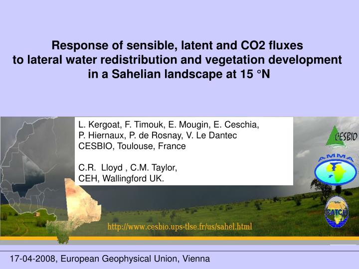
Response of sensible, latent and CO2 fluxes to lateral water redistribution and vegetation development in a Sahelian landscape at 15 °N. L. Kergoat, F. Timouk, E. Mougin, E. Ceschia, P. Hiernaux, P. de Rosnay, V. Le Dantec CESBIO, Toulouse, France C.R. Lloyd , C.M. Taylor,

E N D
Response of sensible, latent and CO2 fluxes to lateral water redistribution and vegetation development in a Sahelian landscape at 15 °N L. Kergoat, F. Timouk, E. Mougin, E. Ceschia, P. Hiernaux, P. de Rosnay, V. Le Dantec CESBIO, Toulouse, France C.R. Lloyd , C.M. Taylor, CEH, Wallingford UK. 17-04-2008, European Geophysical Union, Vienna
A lot has been said ... from the Otterman, Charney, Jackson, Idso, Ripley debate in 1975 on albedo and (over) grazing and the Sahel drought .... to Notaro et al. 2008 Global Change Biology negative feedback : rainfall / land surface / rainfall assuming bare soil evaporates more than grasses (!) Almost nothing has been measured ! except SEBEX (near Niamey, 13.5 °N, 1990, 1991) HAPEX-Sahel (near Niamey, 1992) bush fallow, millet, tiger bush Land surface fluxes and energy budget in the Sahel and nothing at all in central and northern Sahel. Lat 15° N, Lon 0° : the most studied grid point in the Sahel ... by modelers only, sofar ....
Land surface fluxes and energy budget in the Sahel Objectives : to present SEB and turbulent fluxes at lat 15° N, lon 0° and identify the factors controlling these fluxes. Rnet = H + LE + G If you install a flux tower at 15° N You have 60 % chance to get this 24h averaged H
Land surface fluxes and energy budget in the Sahel You have 35 % chance to get this 24h averaged H
Land surface fluxes and energy budget in the Sahel You have 5 % chance to get this 24h averaged H Large spatial variability !
soil type and water regime rocky soil high run-off sandy soil no run-off loamy-clayed soil lowland, ponds, high run-on 60 km
Agoufou, sandy soil, grassland, no run-off run-on June 06 July 17 August 19
H Rnet high LE H < 0 H = a Rnet Timouk, Kergoat et al, subm.
Daily evapotranspiration and Fco2 Agoufou ; High ETR, > 85% P rapidely returned to the atmosphere, High Fco2 (reaches 18mmol m-2s-1 at 12h) Kelma : Extremely high ETR (>> P), Very high Fco2 (reaches 30mmol m-2s-1 at 12h)
Simple scaling of sensible heat flux to supersite scale (60 km) H = S wi. Hi Averaged H close to Agoufou
Conclusions High spatial variability of surface fluxes (including some very high ETR and Fco2 !) Lateral water redistribution and soil type controls : - soil moisture in the root zone - vegetation growth & vegetation type - Rnet - flux partitionning Landscape units large enough to maintain CBL gradients (mesoscale circulation?) Simple scaling shows that 60 km x 60 km average is close to Agoufou site Preliminary comparison implies ECMWF H flux is too high, more to come (ALMIP) Thank you