Download
1 / 16
160 likes | 323 Views
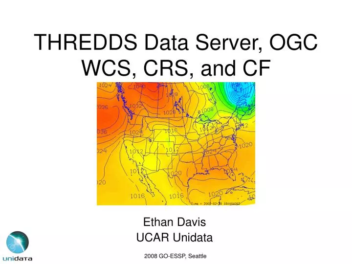
THREDDS Data Server, OGC WCS, CRS, and CF. Ethan Davis UCAR Unidata. 2008 GO-ESSP, Seattle. THREDDS Data Server. Uses netCDF-Java to read data Recognize coordinate systems and tries to classify as a CDM scientific data type Data access Services HTTP netCDF Subsetting Service OPeNDAP

E N D
THREDDS Data Server, OGC WCS, CRS, and CF Ethan Davis UCAR Unidata 2008 GO-ESSP, Seattle
THREDDS Data Server • Uses netCDF-Java to read data • Recognize coordinate systems and tries to classify as a CDM scientific data type • Data access Services • HTTP • netCDF Subsetting Service • OPeNDAP • OGC WCS • OGC WMS (coming soon, see Jon Blower’s talk)
OGC WCS • Describes and supports subset retrieval of gridded, geolocated data. • Subsetting and subsampling can be specified in geographic coordinates. • Based on ISO Coverage specification (ISO 19123) – a coverage represents a set of fields that vary over the same domain (space/time).
OGC WCS Limitations • Currently only georectified grids are supported. The grid can be described with an origin point and offset vectors. • Affects: WCS 1.0 and 1.1 • Except: An “image CRS” can be returned – basically index space. Though it should include a description of a transformation to a geographic CRS. • Solution: Proposed addition to GML of non-rectified grid (CV_ReferenceableGrid). [Proposed by Andrew Woolf, Ron Lake, and David Burggraf , OGC CR 07-112]. Once in GML can be adopted by WCS.
OGC WCS Limitations • Doesn’t support non-length based vertical coordinates (e.g., pressure, sigma). • Affects: WCS 1.0 and 1.1 • Except: Can handle vertical as a “range” dimension (list not coordinate). Not satisfactory, especially if have array fields. • Solution: Proposed ISO 19111-2 for parametric coordinates … GML? … WCS
OGC WCS Limitations • Time: handled inconsistently. Described as list of points and periods. Requested as points OR periods. OR in WCS 1.1 can be handled as part of CRS. • Affects: WCS 1.0 and 1.1 • Another alternate: Can represent each time step as a separate coverage. • Solution: WCS 1.1 allows time in CRS. Start using CRS with time instead of non-CRS time.
OGC WCS Limitations • Limit on the fields that a single coverage can contain. They all must have the same units. • Affects: WCS 1.0 • Solution: Fixed in 1.1
OGC WCS Limitations • Not fully aligned with ISO 19123 and GML. Introduces constructs that already exist in ISO 19123 and GML. • Affects: WCS 1.1 • Solution: Not changed in next draft version (1.1.2/1.2)
CF-netCDF Extension for WCS • CF-netCDF not a “blessed” encoding format in WCS 1.0 • WCS 1.1 no longer has “blessed” formats instead formats need Extension document. • CF-netCDF encoding Extension document currently draft • Describes mapping between CF-netCDF and ISO 19123 Coverage models • Describes CF-netCDF encoding
WCS and CRS • WCS expects detailed CRS (Coordinate Reference System) • … at least in the horizontal. • Vertical OK but with limitations. • Temporal … maybe. • Coming “soon”: • ISO 19111-1 general coordinates: allows CRS to contain non-spatial/temporal coordinates and multiple temporal coordinates • ISO 19111-2 allows parametric coordinates • Possible encodings • OGC WKT • GML/XML • OGC CRS URNs
Coordinate Reference Systems • CF coordinate systems • In many ways, much more general. • But currently not as detailed. • Horizontal CRS, grid mapping has improved. • Vertical CRS … • Temporal CRS ???
Horizontal CRS • New grid mapping attributes for detailed information on reference ellipsoid. • Is this enough?
Temporal CRS • Need to look at how represented in GML. • Also ISO 19108 – Temporal schema
Vertical CRS • CF already deals with vertical coordinates. Much more flexible than current GML and WCS • Missing details of vertical datum • Standard names already reference (explicitly and implicitly) surface, ellipsoid, geoid. • Need to define which surface, which ellipsoid, which geoid • Also needed for non-coordinate variables.
CF Vertical Datum Issues • Standard names plus new attributes vs extension of grid mapping. • Group ellipsoid and geoid as vertical datum • Allow transformation between vertical CRS (as grid mapping transforms between two horizontal CRS) • Instead of parameterized transformation allow for array of offset values.
TDS, OGC WCS, CRS, CF • Questions?