Download
1 / 11
110 likes | 114 Views
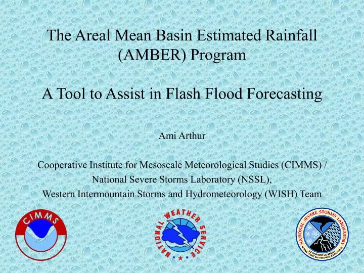
The Areal Mean Basin Estimated Rainfall (AMBER) Program A Tool to Assist in Flash Flood Forecasting. Ami Arthur Cooperative Institute for Mesoscale Meteorological Studies (CIMMS) / National Severe Storms Laboratory (NSSL), Western Intermountain Storms and Hydrometeorology (WISH) Team.

E N D
The Areal Mean Basin Estimated Rainfall(AMBER) ProgramA Tool to Assist in Flash Flood Forecasting Ami Arthur Cooperative Institute for Mesoscale Meteorological Studies (CIMMS) / National Severe Storms Laboratory (NSSL), Western Intermountain Storms and Hydrometeorology (WISH) Team
The AMBER Program • Simply a large “book keeping” program to keep track of the precipitation falling in multiple basins. • Input: Precipitation estimates from the Weather Surveillance Radar - 1988 Doppler (WSR-88D) • Output: Average basin rainfall (ABR) rates and accumulations
History of AMBER • Developed by Bob Davis (Pittsburgh NWSFO) and Paul Jendrowski (Honolulu NWSFO) over the past 15 years. • First operational in May 1985 at Pittsburgh. • 10-mi2 basins delineated manually from a fishing stream map of Pennsylvania. • Initially no ABR computation--simply overlay comparison with WSR-57 rainfall estimates. • Eventually ABR computations were added, but all output was text-based.
History of AMBER • It was discovered that smaller basins were needed to be able to accurately forecast flash floods. • 3-mi2 basins were manually delineated from 7.5-minute topographic maps. • WSR-88D rainfall estimates were mapped to the basins. • AMBER was operational with the 3-mi2 basins in May 1996 at Pittsburgh. • AMBER was operational with 1-mi2 basins in urban areas in May 1999.
History of AMBER • In 1998, NSSL became involved in AMBER work. • 10-mi2 basins were delineated in ArcView from 3-arc-second DEMs and RF1 data for the Tulsa, OK and Sterling, VA NWSFOs. • A prototype graphical display was developed. • AMBER and the new display were operational in Tulsa and Sterling by Fall 1998. • In 1999, NSSL conducted a formal evaluation of AMBER at these two sites.
The success of AMBER is highly dependent on three factors: Quality of the basin delineation Quality of the precipitation estimates The forecaster’s ability to interpret AMBER output and the hydrologic situation AMBER Input
KINX (Tulsa) Radar Bin Centroids Mapped to the Delineated Basins
Future of AMBER • The NWS plans to include an AMBER-like functionality as part of the Flash Flood Monitoring and Prediction (FFMP) program to be implemented in the Advanced Weather Interactive Processing System (AWIPS). • An initial version will be operational by Summer 2001. • Updates and modifications will continue after that.
Future of AMBER • NSSL has been tasked with delineating basins (2-mi2 minimum basin threshold) and preparing FFMP data sets for every NWSFO in the country. • This will be an initial effort to make the FFMP operational for everyone as quickly as possible. • Use of the NED will assure the best quality possible for the initial basin cut. • The basin delineation work done here can also benefit the NED-H project. • An excellent opportunity for cooperation with EROS and minimization of duplicate efforts!
Concluding Remarks • AMBER provides valuable, up-to-date information to forecasters for many basins over various time intervals. • AMBER monitors rainfall accumulation and rate on the basin level and alerts the forecaster to potential flash flooding. • AMBER provides a much needed tool to assist in flash flood forecasting and warning decisions.