Download
1 / 4
40 likes | 78 Views
NSG India provides a complete range of Geospatial solutions and services in the world wide. Coord provide sophisticated GIS Applications and End-to-end solutions in Development of Geographic Information Systems (GIS) for Mapping, Telecommunication, Transportation, Engineering, Utility, Governments, Environmental Protection and Municipal GIS, Services ranging from regional base mapping to facilities conversion.<br>http://www.nsgindia.co.in/

E N D
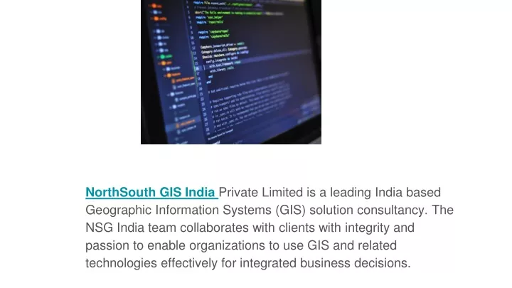
NorthSouth GIS India Private Limited is a leading India based Geographic Information Systems (GIS) solution consultancy. The NSG India team collaborates with clients with integrity and passion to enable organizations to use GIS and related technologies effectively for integrated business decisions.
NSG India provides a complete range of Geospatial solutions and services in the world wide. Coord provide sophisticated GIS Applications and End-to-end solutions in Development of Geographic Information Systems (GIS) for Mapping, Telecommunication, Transportation, Engineering, Utility, Governments, Environmental Protection and Municipal GIS, Services ranging from regional base mapping to facilities conversion.
NSG India Systems executes precise and accurate surveying techniques using high accuracy surveying equipment to deliver engineering quality drawings, maps and it gives full control over data collection, stakeout and analytic reports, with colour maps displaying results in real time as you measure. This includes land survey, contour survey, utility survey and survey of natural resources in land and at sea.
NSG India provides a complete range of Geospatial solutions and services in the world wide. Coord provide sophisticated GIS Applications and End-to-end solutions in Development of Geographic Information Systems (GIS) for Mapping, Telecommunication, Transportation, Engineering, Utility, Governments, Environmental Protection and Municipal GIS, Services ranging from regional base mapping to facilities conversion.