Download
1 / 9
90 likes | 198 Views
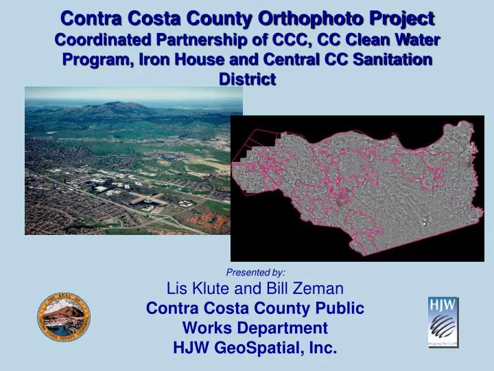
Contra Costa County Orthophoto Project Coordinated Partnership of CCC, CC Clean Water Program, Iron House and Central CC Sanitation District. Presented by: Lis Klute and Bill Zeman Contra Costa County Public Works Department HJW GeoSpatial, Inc. Topics:. Why Ortho Photos

E N D
Contra Costa County Orthophoto ProjectCoordinated Partnership of CCC, CC Clean Water Program, Iron House and Central CC Sanitation District Presented by: Lis Klute and Bill Zeman Contra Costa County Public Works Department HJW GeoSpatial, Inc.
Topics: • Why Ortho Photos • Return On Investment • Contra Costa Project • Lessons Learned • Summary Slide 2
Why Capture Ortho Photos? Capture Data to Support Your GIS needs: Drainage Inventory Watershed Modeling & Analysis Environmental & Resource Studies Capital Improvements Inventories Emergency Services Facilities Management Slide 3
Return On Investment • Improve Quality / Quantity of Information • Provide framework to develop foundation GIS layers and a spatial reference • Increase Efficiency & Public Service • Perform Inventories, modeling, area analysis, and planning • Leverage Data Investments • Multiple uses of orthophoto base map, less cost for return flights • Promote Community Through Internet Access • Orthos easily available via the internet and VERY popular Slide 4
Project Initiation • Form Partnerships • Define the project priority areas • Define Technical Specifications • Define Funding Plan • Identify Project Schedule • Select Vendor via RFP Process • Define Scope of Work • Clarify any open issues and expectations Slide 5
ProjectMethodology 1. Project Initiation Meeting 2. Aerial Photography & GPS 3. Aerotriangulation 4. Digital Mapping 5. Digital Orthophotography 6. Delivery & Support Slide 6
Delivery, Support & Updates • Deliverables Digital Orthophotos Tiff and MR SID Compression Centerlines & Contours Multiple Formats • Ongoing support How to Use Imagery Fulfillment Web Serving • Updates Will Set Up Program Fly “Changed” Areas Update as Needed Slide 7
Lessons Learned and Other Advise • Work with Vendor to identify issues that may arise related to Expectations up front • Keep Project Partners Up to Date Weekly • Try to set a realistic schedule and understand this may shift due to weather or other technical Issues • Budget to QA/QC extensively when providing varied formats • Work out Delivery Costs Up Front • Define How Data Orders will be Fulfilled and Who will Fill Them • Use the Internet and FTP if Possible • Give the Data Away if at all Possible, but make it a group decision – Contra Costa is selling the data to cover the cost of re-flying. Slide 8
For More Information • Lis Klute GIS Coordinator – Contra Costa County – Public Works Department Tel: 925.313.2174 E-mail: eklute@pw.co.contra-costa.ca.us • Bill Zeman • Manager - Consulting and Development Services Tel: 510.638.6122 E-mail: zeman@hjw.com County WEB GIS Viewer Application http://contra-costa.gatekeeper.com Slide 9