Download
1 / 13
130 likes | 262 Views
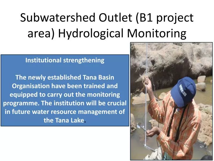
Subwatershed Outlet (B1 project area) Hydrological Monitoring. Institutional strengthening The newly established Tana Basin Organisation have been trained and equipped to carry out the monitoring programme. The institution will be crucial in future water resource management of the Tana Lake.

E N D
Subwatershed Outlet (B1 project area) Hydrological Monitoring Institutional strengthening The newly established Tana Basin Organisation have been trained and equipped to carry out the monitoring programme. The institution will be crucial in future water resource management of the Tana Lake.
Subwatershed stations Two stations establisehd in 2012 – Baskura and Enkulal Note width of channel and height of peak flood – cableway required
Parameters recorded in 2012: Rainfall, Secchi turbidity, Stage level and >250 sediment concentration samples collected by November 2012
Road Construction – Status Baskura: Monitoring started June 2012, Road design completed, 3.5 km PRIORITY! Enkulal: Monitoring started June 2012, Road design completed, 4.5 km PRIORITY! Jema: Road design completed, construction started by Woreda – reconsider need for hydrological station!
Jema Outlet Frequent overflow Unstable banks Wide river Not suitable site for hydrological station
Road Construction – Status Baskura: Monitoring started June 2012, Road design completed, 3.5 km PRIORITY! Enkulal: Monitoring started June 2012, Road design completed, 4.5 km PRIORITY! Jema: Road design completed, construction started by Woreda – reconsider need for hydrological station! Zefie: Federal Road construction plan, additionally 1.6 km required. Part of A1 hydrological network recommendation PRIORITY! Kentay: BDU/Ghent established station in 2012 – data sharing. Long road (8.1 km) would be required, not priority.
Way Forward Installation of staff gauges at Zefie Outlet (Feb 2012) Dialogue with BDU on Kentay outlet (site established in 2012 – data sharing to be ensured) Dialogue with B1 component on road constrution at Jema Outet – considering relocating station to more suitable location Installation of cableways when possible (extension phase)