Download
1 / 20
200 likes | 364 Views
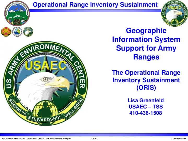
Geographic Information System Support for Army Ranges The Operational Range Inventory Sustainment (ORIS). Lisa Greenfeld USAEC – TSS 410-436-1508. Objectives of Brief. History and Overview Status What ORIS provides to the Army. Situation. What is ORIS?. An inventory of all US Army ranges.

E N D
Geographic Information System Support for Army RangesThe Operational Range Inventory Sustainment (ORIS) LisaGreenfeldUSAEC – TSS410-436-1508
Objectives of Brief • History and Overview • Status • What ORIS provides to the Army
What is ORIS? An inventory of all US Army ranges. • A joint HQDA initiative with ACSIM/DAMO-TRS • Includes • CONUS and OCONUS • Active Army, NGB, USARC • Range footprints (GIS) • Environmental and range use information for each range • All 478 installations 10,523 ranges (currently) • Land owned or used by Army for training • Each installation is updated at least every 5 years
Background • The range inventory was congressional, defense and regulatory driven • Active/Inactive (A/I) Range Inventory • July 2000 - Dec 2002 • 478 Sites, 7 quarters of operation • ORIS is the update the original A/I Range Inventory • Spatial and Tabular information about ranges • Range uses • Environmental conditions on ranges • Munitions • Each installation will be updated every 2-5 years
Drivers • DODD 4715.11/12 • Mandates establishment and maintenance of an operational range inventory • DODD 3200.15 • the spatial range inventory of operational ranges must be updated at least every five years
DODD 3200.15 Definitions January 10, 2003 • E2.1.1. Operational Range. A military range that is used for range activities; is not currently being used, but is still considered by the DoD Component to be a range area; is under the jurisdiction, custody, or control of the Department of Defense; or has not been put to a new use that is incompatible with range activities. Also includes OPAREAs, and active and inactive ranges that are defined by 40 CFR 266 (reference (al)). • E2.1.2. Range and Operating Area (OPAREA). Specifically bounded geographic areas that may encompass a landmass, body of water (above or below the surface), and/or airspace used to conduct operations, training, research and development, and test and evaluation of military hardware, personnel, tactics, munitions, explosives, or electronic combat systems. Those areas shall be under strict control of the Armed Forces or may be shared by multiple Agencies.
Status • Began 1st Semester FY04 in June 2004 (120 installations) • FY04 1st Semester drafts are being delivered by contractor for review by Government • Overlapping 2nd Semester FY04 and 1st Semester FY05 • 16 month year • Began FY04 in 4th quarter • FY05 contract awarded March 2005 • 1st Semester FY05 installations are in Korea • 22 installations • Many changes since last inventory • Distribution of the load of installations for ease of Gov’t review
ORIS Methodology • ORIS is an iterative process of information gathering, site visit, data compilation, verification of tabulated results, and the production and submission of project deliverables to include the following…
How it relates to other data • Spatial overlays in GIS • (our range data is 1:24000) • IFS links • INSNO • FACNO • Environmental link • FFID • Other (not great, but sometimes works) • Installation name • Range Name • State Name • MACOM • FCC • Etc…
Find the Environmental Conditions Required • Training requires realistic situations • Coordinating with MACOMs to develop an interactive web page to search by training type and by environmental conditions.
Assist in Planning New Range Development • Stationing, and training activities to meet training goals and requirements in an environmentally conscientious manner
Evaluate the Effect of Trainingon Different Types of Environments • Range and Training Land Program (RTLP) • Systematically evaluates the impacts of training to the land • GIS provides a medium to investigate relationships between information about the land on which ranges sit and the ranges themselves
Maximize the Utility of Army’s Ranges • Range coordination • IMA regions • FRMAP
Provide a Visual Representation and Communication Tool of Army’s Ranges • GIS provides a quick and easy way to communicate between different groups and communities. • Information can be viewed concurrently • A picture is worth a 1000 words (and acronyms)