Download
1 / 13
190 likes | 636 Views
PRESENTATION on FLOOD RISK MITIGATION MEASURES FOR THE RIVER INDUS & NALLAHS IN LEH TOWN. by Zainab Jalis, Amir Ali Khan, Sirajuddin Ahmed. REQUIREMENT OF FLOOD MITIGATION MEASURES. The Flood Mitigation Measures is required to take care of the following:

E N D
PRESENTATION onFLOOD RISK MITIGATION MEASURES FOR THE RIVER INDUS & NALLAHS IN LEH TOWN byZainab Jalis, Amir Ali Khan, Sirajuddin Ahmed
REQUIREMENT OF FLOOD MITIGATION MEASURES The Flood Mitigation Measures is required to take care of the following: • Lessen the adverse impact of floods on socioeconomic conditions • Controlling/ Preventing further damage to the infrastructure and property; • Restoring normal living conditions in the affected area. • Saving human life
ABOUT LEH • Leh, the capital of Ladakh is situated at an altitude of 3,500m above MSL. • The geographical coordinates of Leh are 34.17° North latitude and 77.58° East longitude • Leh encompasses an area of 19.08 sq kms within municipal limit • As per census 2001, the population of Leh is recorded as 28,639 LEH • The temperature ranges from −40 °C in winter to +35°C in summer • Rainfall is very low with annual precipitation of around 10cm mainly in the form of snow. • Air is very dry and relative humidity ranges from 6% to 24%.
HAZARD PROFILE OF LEH TOWN Leh town is vulnerable to a large number of natural as well as man-made disasters as follows: • The Ladakh Region is situated in seismic zone IV close to Karakoram fault zone, Eastern Karakoram, Ladakh which is highly prone to earthquakes. • Most disastrous among natural furies are flash floods which creates havoc in Leh due to following reasons: • Cloud burst • Excessive melting of snow in the upper reaches of glaciers • Sudden removal of cloud cover / long sunny days after a period of sustained snow fall • Snow avalanche in snow covered mountainous regions of Leh
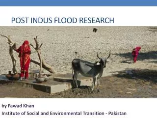
LEH FLASHFLOODS, AUGUST 2010 MANITSELDING Recently Flash Floods has occurred in Leh on August 5, 2010 , affected the whole Ladakh region. Damage pattern • About 193 peoples were died & 200 were missing. • Approx 908 no. of houses have been destroyed in Leh. • 80% of Infrastructure was damaged i.e. roads & bridges • Heavy damage to irrigation systems head works of canals, protection works of rivers & canals. • Main hospital of Leh town (SonamNorboo Memorial Hospital) was totally damaged. The impact of disaster in Leh was more because there has not been any Flood Mitigation Measures in place.
NEED OF THE STUDY • Leh is situated in mountainous regions, which are most disaster prone because of the topography and inaccessibility of affected areas. • Cloud burst occurred in mid last year is the recent example. • In Leh there is no Flood Mitigation Measure Strategy in place. • Keeping in view the peculiar geographic and topographical conditions prevailing in Leh town. • Need for formulating and implementation of Flood Mitigation Measure Strategic Plan is must to reduce the damages and making Leh a safer town.
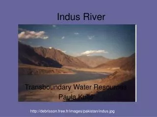
DRAINAGE PATTERN • River Indus flows south of the town of Leh from east to west. • In the north of Leh town towards Gangles, rivulet namely Leh Nallah (GanglesTokpo) with its tributary streams namely GyulangTokpo and TogarTokpo form the natural drainage system with their own valley formation. • These two streams meet the Gangles Topko at Horzey. • The Leh town has been growing in the Gangles valley. Leh town boundary Leh Nallah
RECOMMENDATIONS • Construction of Embankments near inhabited areas along River Indus & Leh Nallah • Embankment Design: • With the help of discharge data procured, Using Gumbels extreme distribution function design discharge can be calculated.
TYPICAL SKETCH OF PROPOSED EMBANKMENT ON RIVER INDUS AT LEH(FOR MAXIMUM FLOOD DISCHARGE FOR A RETURN PERIOD OF 100 YEARS)
RECOMMENDATIONS • Detention Basins 3 nos of detention basins have been proposed • one Detention Basin in the upper reaches of Gangless, • second at polo ground & • third one at ice hockey ground • which will receive the diverted additional • water of the Flash Flood through a tunnel • and finally spreads in the detention basin. At outlet point of detention basin a gabion structure with suitable diameter RCC pipes for controlled release of water shall be provided.Early warning system should be implemented so that alarm/signals can be raised in any eventuality of raising the water level in Nallahs.
RECOMMENDATIONS Plan of Detention Basin at upper reaches of Gangles Nallah • Wire Crate / Gabion walls / Bunds in Giamtsa, Gyalong & Shenam Nallah • Check Dams across the rivers / Nallah • Channelization of River/ Nallah at Vulnerable locations • Removal of Impediment to flow • Relocation / Re - settlement Relocation & Rehabilitation of encroachments on a nallahs is required