Download
1 / 11
110 likes | 195 Views
Thursday Session 1:. Data Frame Properties Tabs General Title Description Credits Rotation Data Custom Extent Introduction to the Layer Box General Source Selection Display. Data Frame Properties. General Data Frame Coordinate System Illumination Map Cache Annotation Group

E N D
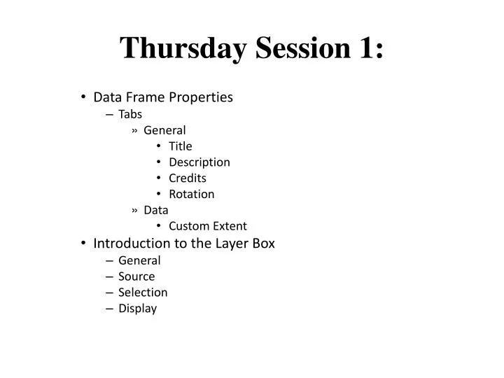
Thursday Session 1: • Data Frame Properties • Tabs • General • Title • Description • Credits • Rotation • Data • Custom Extent • Introduction to the Layer Box • General • Source • Selection • Display
Data Frame Properties • General • Data Frame • Coordinate System • Illumination • Map Cache • Annotation Group • Extent Rectangles • Fraame • Size and Position
General Change Name of Data Frame Units of Maps Coordinate System Used By Scale Bar Status Bar Measurement tool Determines for how labels are placed
Coordinate Systems • To display your data correctly, a data frame uses a coordinate system. This can be any coordinate system ArcGIS supports. The data frame's coordinate system need not be the same as the data you are using, although if ArcMap has to project your data on the fly, it does take longer to draw. • When ArcMap is started with a new, empty map, the coordinate system for the default data frame is not defined. When you add data with a defined coordinate system, ArcMap will automatically set the data frame's projection to be the same as that of the data. The first layer added to an empty data frame sets the coordinate system for the data frame, but you can change it if necessary. If the first layer does not have a coordinate system, ArcMap will set the coordinate system to Unknown. • If you want to use a specific coordinate system for your map, you can use the Data Frame Properties dialog box to set the coordinate system. Once you do this or if ArcMap has already automatically defined the coordinate system for a data frame, ArcMap will not override the coordinate system settings.
Illumination • Every 3D view needs a light source to illuminate it. You can configure this light source to achieve different effects within the view. • In ArcGlobe, the light can be applied as either ambient lighting or spot lighting. With ambient lighting, the default, a consistent light is applied to the entire globe. With spot lighting, known as sun lighting in ArcGlobe, the light source is given a location which results in parts of the globe being brighter than others. For 3D faces, such as multipatches or extruded polygons, sun lighting will apply shading to the surfaces of the 3D shape. Sun lighting will not dynamically add shading to the 3D terrain.
Introduction to the Layer Property Box • General • Source • Selection • Display • Symbology • Fields • Definition Query • Labels • Join & Relates • HTML Popup
General Layer Name – Visible Description Scale Range Out Beyond In Beyond
Source • The Geographic Extent • Data Source • Data Type: Shapefile Feature Class • Shapefile: C:\Users\Margaret\Desktop\MYTC\GIS Datasets\Detroit GIS Data\Detroit Base Map Data\CityofDetroitStreets.shp • Geometry Type: Line • Projected Coordinate System: NAD_1983_HARN_StatePlane_Michigan_South_FIPS_2113_Feet_Intl • Projection: Lambert_Conformal_Conic • False_Easting: 13123359.58005249 • False_Northing: 0.00000000 • Central_Meridian: -84.36666667 • Standard_Parallel_1: 42.10000000 • Standard_Parallel_2: 43.66666667 • Latitude_Of_Origin: 41.50000000 • Linear Unit: Foot • Geographic Coordinate System: GCS_North_American_1983_HARN • Datum: D_North_American_1983_HARN • Prime Meridian: Greenwich • Angular Unit: Degree