Download
1 / 36
380 likes | 683 Views
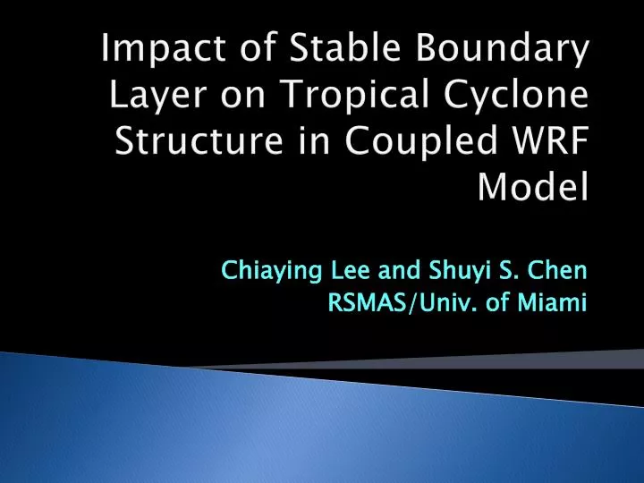
Impact of Stable Boundary Layer on Tropical Cyclone Structure in Coupled WRF Model. Chiaying Lee and Shuyi S. Chen RSMAS/Univ. of Miami. Outline. Introduction and motivation Scientific questions Results from ITOP observations Results from coupled and uncoupled model simulations

E N D
Impact of Stable Boundary Layer on Tropical Cyclone Structure in Coupled WRF Model Chiaying Lee and Shuyi S. Chen RSMAS/Univ. of Miami
Outline • Introduction and motivation • Scientific questions • Results from ITOP observations • Results from coupled and uncoupled model simulations • Conclusions
Previous studies on TC-induced SST cooling • Observations of hurricane-induced cold wake (Lepord 1967, Shay and Elsberry 1987) • Idealized modeling on ocean response to the hurricane forcing and characteristic of cold wake (Price 1981, 1994) • Idealized axisymmetric coupled modeling of air-sea interaction in hurricanes (Chang and Anthes 1979, Schade and Emanuel 1999) • Idealized axisymmetric modeling of air-sea interaction on TC intensity (Emanuel 1986, Rotunno and Emanuel 1987) • Three dimension coupled model forecast of TCs (Bender and Ginis 2000) SST cooling
Lee and Chen et al. (2011) quadrant – averaged HBL Azimuthally – averaged HBL Uncoupled Coupled Inflow layer Ekman BL ML Cold wake How does the TC-induced cold wake and associated BL asymmetry affect storm structure and intensity?
How does Air-Sea Coupling Affect TC Structure? Coupled t = 0 Iso-surface of Tracer from cold wake region t = 120 min. t = 60 min. t = 20 min. ? Dynamic forcing? Thermodynamic forcing? Uncoupled t = 0 t = 120 min. t = 60 min. t = 20 min. 301 302 303
Dynamic forcing – SST gradient • Idealized dry model with axisymmetric TC flow • homogeneous SST • imposed square SST front Homogeneous SST U V Imposed SST front U V • Air parcels passing over the colder water: decelerate and turn toward lower pressure center. SST = SSTenv – 4oC Chen et al. (2009)
Thermodynamic forcing – Stable boundary Layer Stull (1988): the surface is cooler than the air. Pre-storm SST Staticstability z > 0 - stable = 0 – neutral < 0 - unstable Stable Unstable Neutral qv Stable Boundary Layer in Hurricanes? Post-storm SST
Specific questions: • Does a stable boundary layer exist in hurricanes? • Observations from the Impact of Typhoon on the Ocean in Pacific (ITOP, 2010) • How does the TC-induced cold wake and associated BL asymmetry affect storm structure and intensity? • Coupled WRF (CWRF) and uncoupled WRF simulation of Typhoon Choiwan • Distinct BL structure in CWRF • Combined tracer and trajectory analysis in CWRF and WRF
C130 dropped AXBTs and Dropsondes at the same location – Simultaneous profile of atmospheric and oceanic BL thermal structure
Fanapi B WARM COLD WARM A Air Temperature Cold air flows over warm ocean, SH goes upward. Energy transfer is reversed Air-sea interface Warm air flows over cold ocean, SH goes downward. Ocean Temperature A B
Coupled WRF (CWRF) • WRF V3.1.1 • Nested model grids with 12-, 4-, 1.3-km resolutions • 36 vertical levels (with 9 within the lowest 1 km) • WSM5 microphysics • YSU PBL+Donelan’s (2004) wind-dependent surface roughness • Garratt (1992) thermal exchange coefficient over water • GFS initial/lateral B.C. 12 km 4 km 1.3km
3DPrice–Weller–Pinkel (3DPWP) ocean model • Fully physics • No bathymetry • same grid as WRF • moving nest • Highest resolution: 4-km • PWPin package: • Satellite SST • Operational Global HYCOM • Laplacian smooth method 12 km Linear interpolation 5 m 4 km Call 3DPWP 1.3km 10 m HYCOM Call 3DPWP 30 layers 20m Z= 390 m
Satellite SST HYCOM profile R L ITOP cases
Two ways to track the property of fluid: • Trajectory: an undiluted air parcel advected by wind • Tracer: air mass that is subjected to advection, turbulent mixing and molecular diffusion Sink term Molecular diffusion Turbulent mixing
Implementation of Trajectory in WRF: • Forward Trajectory Subroutine in WRF Dynamic Codes • Low frequent temporal wrfout • Three 1D array variables • Longitude, Latitude, Height • Works for moving nest • Initialized in wrfinput or wrfrst • Drawback: No backward trajectory 12 km d01 – call traj d02 – call traj 4 km 1.3km d03 – call traj Call trajectory
dBZ at 80 m • Resemblance in WRF and CWRF • Similar core structure and primary rainband location • Difference in WRF and CWRF • Lesser radial extent of convections in CWRF • Persistently, less convection downwind of cold wake in CWRF WRF CWRF 29.5 29.5 Cold wake
W at 80 m WRF CWRF
Is there a reduction of convection downwind of the cold wake in reality?? WRF CWRF Yes, there is !!
@ 3km ~ 700mb The lack of convection in the downwind side of cold wake in CWRF could be the consequence of the cold wake and its non-local effect!
CWRF • Further inward turning WRF Cooling ~ 0oC • Not as drastic as Chen et al. (2009). • ~1.5 oC cooling is enough to induce the dynamic forcing Dynamic Processes
CWRF WRF CWRF-WRF More inward turning Stronger inflow with larger angle over cold wake Stronger inflow
Thermodynamic Processes @ 0600 UTC Cold wake @ 1200 UTC Cold wake: CWRF CWRF WRF WRF Environment Environment
CWRF WRF • Surface stability: L : Monin-Obukhovlength Z : well mixed layer • BL stability:
Tracer and trajectory initialization aownwind annular ring cold wake upwind • CWRF • cold wake regions, upwind, downwind • Annular rind afrea • r=150 ~ 350 km • WRF – same storm-relative locations • ~100 trajectories released in cold wake region • Tracer and trajectories released @ 80 m • Both are tracked for 6 hours.
How does Air-Sea Coupling Affect Hurricane Intensity? Coupled t = 0 Iso-surface of Tracer from cold wake region t = 120 min. t = 60 min. t = 20 min. Uncoupled t = 0 t = 120 min. t = 60 min. t = 20 min. 301 302 303
Tracer in Cold Wake CWRF WRF t = 0 Total tracer concentration t = 3 hr t = 3 hr Initial location • In WRF: tracers tends to vertically transported into the outer rainband • In CWRF: tracers tends to transported into the eyewall. t = 5 hr t = 4 hr t = 4 hr t = 5 hr t = 6 hr t = 6 hr
qe along the trajectories from the cold wake region CWRF WRF eye eye Colder initial value Warmer initial value
qealong the trajectories WRF CWRF eyewall eyewall rainband
Energy / tracer fluxes Outer region eyewall ~ 500 m BL Storm center RMW+20 km CWRF BL Outer region Eyewall WRF
Downwind Annular ring Cold wake Upwind CWRF WRF
Dynamic forcing – SST gradient Storm center (low pressure) Z Internal BL X Warm SST Cold SST Storm center Outer region (high pressure) Cold wake Outer region
Conclusions • ITOP observations confirm stable boundary layer in TCs and provide coherent air-sea data for coupled model verification. • Cold wake/stable BL suppress deep convection locally and downwind (in outer rainband region). • Stable BL over the cold wake keeps air in BL longer and enhances sfc flux/increases qeof the inflow into the eyewall. • SST gradient at the edge of cold wake results in larger inflow angle and stronger inflow. • Both thermodynamic and dynamic processes associated with the stable BL/cold wake affect TC structure by enhanced inflow into the inner core. • Fully coupled model is needed to accurately describe air-sea interaction and its impact on TC structure and intensity.
Acknowlegement: • ITOP team • Drs. R. Foster and P. Sullivan on stable boundary layer • NCAR scientists for their guidance on coupling CWRF and developing tracer/trajectory analysis in WRF: Dr. JimyDudhia, Dr. Wei Wang Dave Gill, and John Michalakes This work is supported by the ONR ITOP grant N000140810576