Download
1 / 2
100 likes | 381 Views
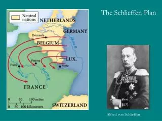
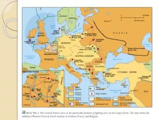
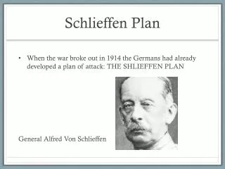
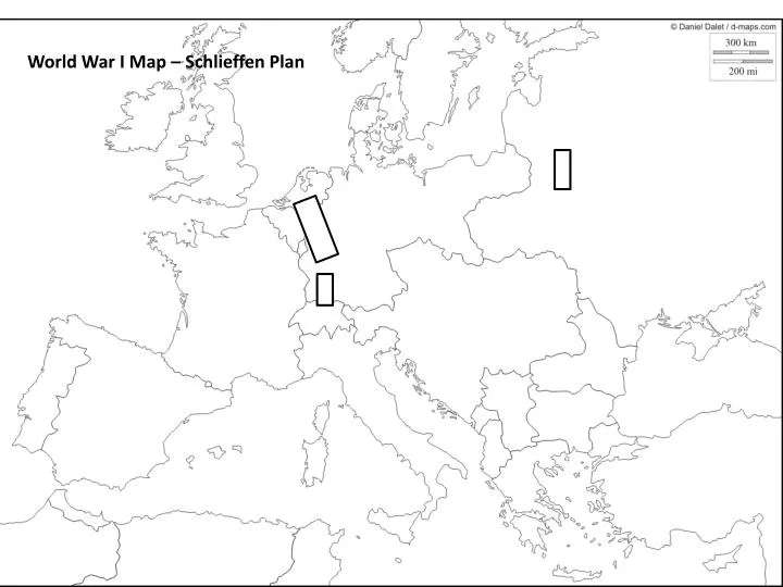
World War I Map – Schlieffen Plan. Map of Europe in 1914 Label the following on your map: Britain Shade Central Powers Red France Shade Allied Powers Blue Russia Italy Germany Ottoman Empire (Turkey) Diagram the German plan to attack France

E N D
Map of Europe in 1914 Label the following on your map: Britain Shade Central Powers Red France Shade Allied Powers Blue Russia Italy Germany Ottoman Empire (Turkey) Diagram the German plan to attack France Austria-Hungary Label percentages and provide troop movements Bulgaria Switzerland Spain Denmark Sweden Netherlands Finland Atlantic Ocean Mediterranean Ocean English Channel North Sea Baltic Sea Aegean Sea Adriatic Sea Black Sea Marne River Paris