Download
1 / 22
230 likes | 379 Views
Conservative vs. dynamic agricultural landscapes in Austria – a comparison based on historical development of landscape structure. Dr.Thomas Wrbka University of Vienna; Department of Conservation Biology, Vegetation and Landscape Ecology. Wilderness?. Tourism. Global warming. Abandonment.

E N D
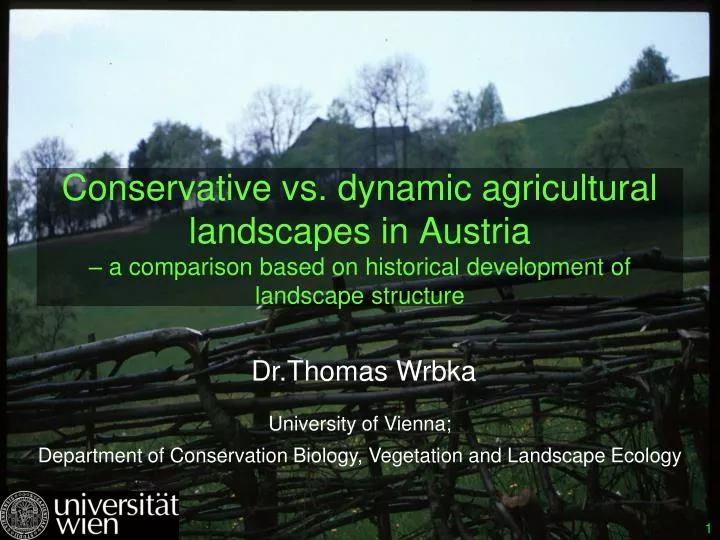
Conservative vs. dynamic agricultural landscapes in Austria– a comparison based on historical development of landscape structure Dr.Thomas WrbkaUniversity of Vienna; Department of Conservation Biology, Vegetation and Landscape Ecology
Tourism Global warming Abandonment Forest fragmentation Traffic Urbanisation Or just another European example for modern landscape transformation? Matrei in Eastern Tyrol / Austria
AUSTRIA ?: • situated in the “heart of Europe”; • only 84.000 square kilometers! • transitional between four biogeographical zones (subatlantic, subcontinental, alpine, submediterranean); • steep ecological gradients (altitude, precipitation, temperature,...); • high diversity of bedrock, soil and landforms;
Austria – cultural perspective: Dwelling Houses and Farm Buildings • high diversity of landscape types • situated at the “crossroads” of Europe: Danube corridor, Amber road, Mountain passes through the Alps • high diversity of cultural traditions: illyric, celtic, romanic, slavic, hungarian,germanic (bavarian, suebian, franconian); • long history of interaction between humans & nature – earliest artifacts from 30.000 BC !
Classification of Austrian Cultural Landscapes Main Types • 12 Types • and • 47 Subtypes
Example for Group E - Upland dairyfarming coverage: 17% Sample Site: Post - Behamberg
Group I: Cropfarming landscapes Subgroup 404: Large scale cropfarming in extraalpine Lowlands coverage: 12% Sample Site:Teichhof
Recent Changes in Austrian agricultural landscapes 1: Fragmentation of the „wet meadow landscape“ in the Vienna Basin between 1900 to 1950
How to track changes ? First (Josefinian) Land Survey (1764 – 1787) First complete land survey of the Austrian territories Conducted by army officers Scale: 1 : 28.880 Military map General information on broad land-cover types Detailed and very reliable information on features interesting for military purposes („obstacles“): watercourses, swamps, dense forest,..) >>> Meso-scale
How to track changes ? Second complete land survey of the total Austro-Hungarian Empire Conducted by army officers Scale: 1 : 2.880 Taxation map Detailed information for every land parcel (yield data, etc.) in paper data-base Franziscan Cadastral Map (1817 – 1871) >>> Micro-scale
Landscape change in Südburgenland / Talboden der Pinka Strong increase of cropland Strong decrease of grassland Slight decrease of orchards Strong increase of settlements >>> Directional change over 150 years
Landscape change in Südburgenland / Talboden der Pinka Grünland wird “verackert” Obstgärten werden “verbaut” >>> Character change: transition between major land-use categories
Landscape change in Südburgenland / Hillsides (“Riedelflanken”) Fallows are getting cultivated, but new fallows are occurring Fallows are getting cultivated, but NO new fallows are occurring Fallows are invaded by shrubs or afforested, few are cultivated again >>> Oscillation and slow change
From change detection to change analysis 1764 - 1787 ? 1817–1861 1984 Gerichtet dynamische L. Trend analysis Transformation matrix 1994 Konservative L. 2000
VOITSAU Some landscape elements persist over long periods >>> PELs / persistent landscape elements Reconstruction of land-use from digitized historical cadastrial map
Percentage of PELs is regionally very different: High percentage (= conservative l.) vs. Low percentage (= dynamic landscapes) Voitsau Theyern / Nussdorf Grossarl Sampling design for in depth studies on formation and function of agricultural landscapes
Transgressing the map age boundary Reconstruction of land-use from written sources: archive of monastery Göttweig
Integration of data from different sources Investigated entity (Village, settlement) Example: Theyern, Nussdorf PARCELS HOLDINGS PERSONS Vegetation Survey 1995 Digital Elevation Model 1995 PLANNED ONLY: soil profiles (esp. in erosion areas) Palaeobotanical Data (e.g. pollen profiles) Dendrochronological Data Malakological Data Archaeological Data …. Parish registers from 17.C onwards POPULATION CENSUS from 1869 onwards Notes on traditio 11.-13. C. Charters, 12.-15. C. Urbarial Books, 13/14. Jh. Peasant Labour books, 15. C. Property registers, 16.-19. C --- Theresianian „Fassion“, mid-18 C Josephinian „Fassion“, 1780 Franziszeian Cadastral Map, ca. 1820-1840 + Cadastral Estimation Registers etc. Gewährbücher, 15.-19. C Tithe register: Tithes on Wine, 16.-19. C „Local Urbarii- Description“, 1733 Plans and Maps, from 2.H. 17C. Municipality Account Books, 1.H. 19.C Kastenamts- Accounts, 16.-19. C Village Law (Custumal), 16. C Forste Regulations, 16. and 18. C statistical data on cultivation, 20. C
POPULATION mode of demo-graphic behavior Farm households Raw products seed environmental factors (climate, etc.) influence draughtpower humanconstitution money nutrienttransfer products labor How pre-industrial agricultural systems work and thus should be studied PRODUCTION technology, social organi- sation AGRO-ECOSYSTEM crops, soils, water, animals external connections
Coincidence between high nature value and high percentage of persistent landscape elements
Vernacular architecture wise use of renewable resources ancient land management traditions multifunctional use of forest resources maintaining green infrastructure Conservative agricultural landscapes as “role-models” for sustainable development? At least: a promising coincidence of natural, cultural & economic values ! Thank You !