Download
1 / 24
240 likes | 441 Views
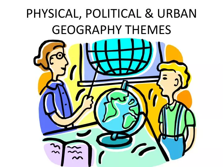
PHYSICAL, POLITICAL & URBAN GEOGRAPHY THEMES. Geography Sources. The combination of different data on 1 map is completed by using? Picture A represents a way to gather geographical information. How was the image of Alaska created? The newspaper is an example of what type of source?. A.

E N D
Geography Sources • The combination of different data on 1 map is completed by using? • Picture A represents a way to gather geographical information. • How was the image of Alaska created? • The newspaper is an example of what type of source? A
Map Concepts • What is the 1st image? • Why are they different on each map? • Why does the 2nd image include a compass? • Lines that run N & S are? • Lines that run E & W are? • How do they divide the world? • What concept is illustrated by the last image?
A • Name the 3 types of projections: A, B, C • How are each distorted? • What are advantages of using each map? B C
What map concept is illustrated by the image? • Why and when do we use mental maps? • How do we develop our mental maps? • Sketching • Using reference points (equator, prime meridian) • Using geographic features & land forms (west of Mississippi) • Using human characteristics like languages, dress, customs (steel drums – Jamaica, Kimonos – Japan)
Climate • What are the 3 main characteristics that make up climate? • Name the 5 most important factors that influence climate?
Climate Regions • What are the 3 main climatic zones based on latitude? (any synonyms?) • This picture illustrates the effects of elevation on vegetation, what is the name of the type of climate associated with this phenomena?
Name the climates associated with low latitudes. • Name the climates associated w/ middle latitudes (think US).
Vegetation Regions • Describe the main vegetative regions of the world. How are the similar or different? (name the most significant)
Weather Phenomena • What event is occurring in the picture above? • Where are they most likely to occur? • The picture below? Where?
What causes the phenomena pictured in both images? • Why do the images have different names? How can you tell the difference?
What do these images have in common? • Give another example of a political division. Political Geography • Why do we create political divisions & or boundaries?
Political & Trade Organizations • The countries in blue represent what international organization? • Why wash it created? • How has it expanded? • What organization is represented by the map on the lower left? the flag?
Why was the organization represented by the blue & white icon created? What is the security council? • What are the names of the 2 different organizations represented by the maps? • Why were these organizations created & what problems do they have?
What organizations are represented by the maps? • How can you tell the difference? • Why were they created?
Examples of International Cooperation • What do all the countries in blue have in common? • Why is Antarctica divided?