Download
1 / 15
150 likes | 252 Views
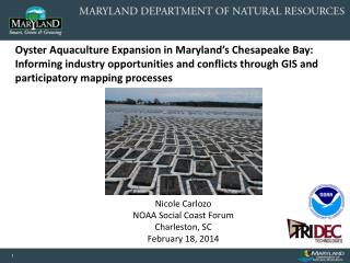
Integrating Water Quality and Coastal Resources into Marine Spatial Planning in the Chesapeake and Atlantic Coastal Bays. Nicole Carlozo NOAA Coastal Management Fellow June 7, 2013. Today: General Targeting Model Prioritization Methodology for select (pilot) areas Next Steps

E N D
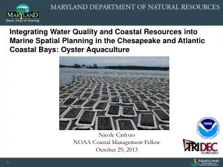
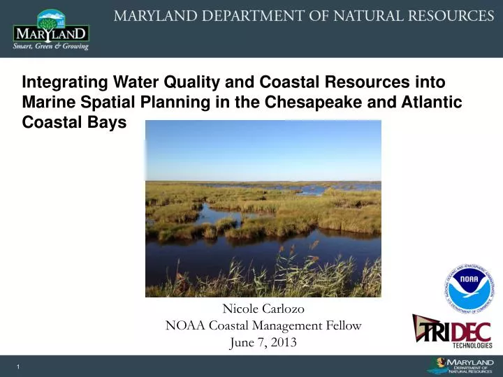
Integrating Water Quality and Coastal Resources into Marine Spatial Planning in the Chesapeake and Atlantic Coastal Bays Nicole Carlozo NOAA Coastal Management Fellow June 7, 2013
Today: • General Targeting Model • Prioritization Methodology for select (pilot) areas • Next Steps • Estimate nutrient reduction potential (pilot areas) • Integrate Climate Change into the decision-making process • Integration with the Watershed Resources Registry
Goals: • Identify high priority aquaculture and coastal restoration areas that align with TMDL water quality goals. • Prioritize identified areas where investment in or support of aquaculture and natural filter projects would result in water quality improvements related to the TMDL. • Develop recommendations about the best ways to balance competing water uses and coastal restoration practices.
Riparian Buffer – General Targeting • Land Use • Exclude forest and open water • Hydrology • 300-foot buffer from stream/river of order > 3 • 100-foot buffer from stream/river of order ≤ 3 • Other Considerations • Ditch buffers • Existing buffers • Sensitive Species Areas
Riparian Buffer – Proposed Changes • Stream data • Western shore: Andrew Elmore’s drainage networks. Currently buffered 1st – 3rd order streams out to 100 feet. • Eastern shores: NHD 24K. Currently buffered out to 300 feet (stream order data not available). • Change: 300-foot buffer? 100-foot buffer only for 1st order streams? • Ditch data • Currently using NHD “ditch/canal” designation. Identifies 100-foot buffers. • Change: Update to include PDA and other eastern shore data. Is a 100-foot buffer appropriate? Should ditches be included? • Sensitive Species Areas • Currently identified within the general model. • Includes all rare wetland species (not just bog turtles). • Change: Move to the “Policy Screening Model” • Existing buffers • Currently identifies existing forest buffers • Change: Identify existing grass buffers?
Wetland Restoration – General Targeting • Land Use • Exclude forest, wetland, and open water • Soil Type • Potential wetland landscape ≥ 50% (SSURGO grid) • ‘Poorly’ and ‘very poorly’ drained soils, hydric soils, and land that is drained, undrained, channeled, protected, ponded, or flooded. • Other Considerations • Wellhead Protection Areas
Wetland Restoration – Proposed Changes • Soil data • Potential Wetland Soil Landscape: % of soil map units (major and minor soil components) that meet certain criteria. • The model: Identifies lands where at least 50% of the map units meet wetland criteria. • Is this appropriate? More or less conservative? • Wellhead Protection Areas • Currently identified within the general model. • Change: Move to the “Policy Screening Model”
Living Shoreline – General Targeting MDE Waiver Process for Living Shorelines: • Erosion and Energy • < 8 ft/yr • Fetch ≤ 5 miles • Obstacles • Adjacent SAV cover (5 year zone) • Hardened shorelines (VIMS Shoreline Inventory) • Other Considerations • 6 hours of sunlight/day • Waterway width > 100 feet • See MDE guidance maps for where structural components are potentially authorized.
Riparian Buffer – Prioritization • Land use (wetlands and existing buffers = low priority) • Land use (agricultural lands/row crops = high priority) • Proximity to water stream/river/water source • Adjacent to headwater streams (if identifiable) • Depth to water table (0 – 2 meter range) • Within floodplain • Downslope of nutrient sources (agriculture) • Priority geomorphic regions • Low slope (water and N retention) • Denitrification potential (Percent Organic Matter; poorly drained soils) Nitrogen Model Phosphorus/Sediment Model • Priority geomorphic regions • Sediment transport risk (high percent slope) • Highly erodible soils (K factor)
Wetland Restoration – Prioritization • Land use (urban, commercial, industrial, and transportation = low priority) • Land use (agricultural lands draining to wetlands and ditched / diked / drained land = high priority) • Proximity to water stream/river/water source • Adjacent to headwater streams (if identifiable) • Within floodplain • Downslope of nutrient sources (agriculture) • Priority geomorphic regions • Acreage (size) • Denitrification potential (Percent Organic Matter) Nitrogen Model Phosphorus/Sediment Model • Highly erodible soils (K factor)
Living Shoreline – Prioritization • Erosion and Energy • High energy is not ideal for project longevity. • Prioritize medium to low energy (Fetch) • Prioritize low erosion • Erosion risk (50 year planning window erosion vulnerability layer) • Bottom substrate – prioritize medium (sand/silt) and soft (organic/silt/clay) bottom material due to shoreline diversity concerns
Pilot Area Selection Criteria • Variation • Eastern shore, Western shore, Coastal bays • Land cover and slope variation • DNR Focus/Interest • Protected Lands • Fisheries Prioritization Areas (where restoration and conservation would benefit fisheries the most) • Trust Fund Watersheds • Aquaculture presence/interest
Next Steps: Programmatic/Policy Screening • Integrate programmatic/policy priorities and concerns into the site selection process. • Conflicts: • Already restored areas, habitats of special interest, sensitive species project review areas, cultural/historic sites, wellhead protection areas • Priorities: • Sites with high edge-of-stream loading. • Easements, protected lands • Priority Forest watersheds, Biological Restoration Initiative watersheds, Trust Fund watersheds • Ecological Value Priority Areas: • Greenprint Targeted Ecological Areas (TEAs) • Adjacent to Green Infrastructure Hubs and Corridors • Adjacent to protected lands
Next Steps: Integrating Climate Change • TMDL pollution control measures must be implemented by 2025. Where should we invest considering an uncertain climate future? • Assess climate vulnerability of natural filter BMPs and invest at sites with long term nutrient reduction benefits. • Potential scenarios: 2025, 2050, 2075, 2100 • Potential GIS layers: • Sea level rise, elevation, wetland adaptation areas, erosion rates • Develop new GIS layers: • “Climate Risk Areas” – areas at risk of exceeding habitat thresholds for wetland, riparian, and aquaculture species.
Next Steps: Data Sharing Watershed Resources Registry (WRR) A GIS-based targeting tool that prioritizes conservation, restoration, and stormwater management opportunities (rated 1 – 5) Overlap with wetland restoration and riparian buffer BMP targeting Opportunities for integration of water quality and climate change factors during WRR update 15