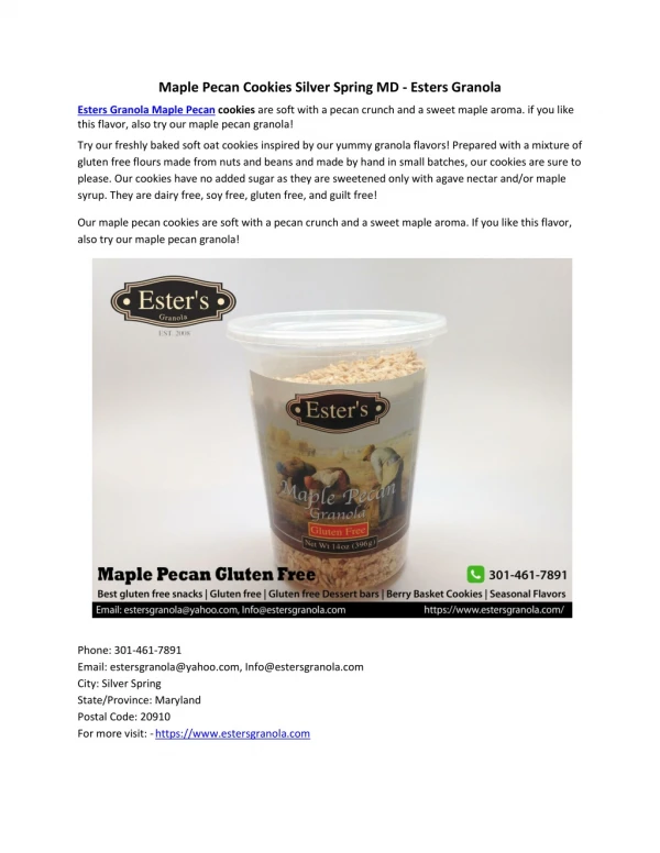
Download
1 / 21
210 likes | 318 Views
CLIMATE DATE RECORDS NOAA CREST Center CI SCIENTIFIC DATA STEWARDSHIP MEETING Silver Spring, MD August 29, 2006. Data Products. Global Climate Records International Satellite Cloud Climatology Project (ISCCP) Standard Products Experimental Products.

E N D
CLIMATE DATE RECORDS NOAA CREST Center CI SCIENTIFIC DATA STEWARDSHIP MEETING Silver Spring, MD August 29, 2006
Data Products • Global Climate Records • International Satellite Cloud Climatology Project (ISCCP) Standard Products • Experimental Products. • Solar Occultation Profiles of aerosols /trace gases from SAGE2,SAGE3,HALOE sensors etc. • Calipso Lidar • Regional Climate/Air Quality Products • Multiwavelength Lidars • 24/7 Operating Ceilometer • Shadowband and Aeronet Radiometers • Aerosol Optical Depth • Column Water Vapor • Surface Meteorology Station • DEC Air Quality Network (Regional / State)
ISCCP Data Products (Page1) • Reduced Resolution Radiance Data (B3) • Resolution: 30km pixel, 3hr • Contents: Radiances with calibration and navigation appended. Uniform format for all satellites. • Ice/Snow Data Set (IS) • Resolution: 150km equal-area grid, 5-days, global • Contents: 5-day averages of snow and sea ice fractional coverage deduced from ship/shore station reports and satellite visible, infrared, and microwave imagery data.
ISCCP Data Products (Page2) • Pixel Level Cloud Product • Resolution: 30km mapped pixel, 3 hr, • Contents: Calibrated radiances, cloud detection results, cloud and surface properties from radiative analysis • Gridded Cloud Product • Resolution: 280km equal-area grid, 3hr, global • Contents: Spatial averages quantities and statistical summaries, including properties of cloud types. Satellites are merged into a global grid.
Cloud and Surface Properties • IR-retrieved cloud top or surface temperature • IR-retrieved cloud top or surface pressure • IR-retrieved clear sky composite temperature • IR-retrieved clear sky composite pressure • VIS-retrieved liquid cloud optical depth or surface reflectance • VIS-retrieved clear sky composite reflectance • VIS-adjusted cloud top temperature • VIS-adjusted cloud top pressure • VIS-retrieved-ice cloud optical depth VIS-retrieved-ice cloud temperature • VIS-retrieved-ice cloud pressure
ISCCP Data Products (Page 3) • Climatological Summary Product (FD-TOA) • Resolution: 280km equal-area grid, 3hr, global • Contents: All the radiative flux components at top of atmosphere (TOA). Total of 20 output parameters. • Climatological Summary Product (FD-SRF) • Resolution: 280km equal-area grid, 3hr, global • Contents: All the radiative flux components at surface (SRF). Total of 25 output parameters.
Experimental Global Products • Microwave Emissivities (ISCCP cloud and infrared-based surface temperatures are combined with SSM/I brightness temperatures to separate and retrieve land surface skin temperatures (clear and cloudy) and the emissivities in the seven SSM/I channels. • monitoring freeze/thaw events at higher latitudes • variation of snow cover properties • soil wetness. • Ts-Ta Correlation Reports Combining the infrared-microwave land skin temperatures with conventional meteorological datasets to obtain collocated information about surface skin and air temperatures, air humidity and winds over the whole globe with diurnal resolution. With other datasets characterizing the additional land surface properties (topography, roughness, vegetation type), • Surface heat flux. • Combined with the surface net radiation (FD product), estimates of latent heat fluxes can also be made.
Solar Occultation Measurement Sets Langley-Hampton Aerosol Profiles of aerosol extinction are provided at 9 different wavelengths (385, 448, 521, 596, 676, 754, 868, 1019, and ~1550 nm) from the surface or opaque cloud top to an altitude of 40 km, Other trace gas profiles between 20km and 55km Water Vapor Nitrogen Dioxide Ozone Temperature and Pressure Chlorine Dioxide Nitrogen Dioxide Hydrogen Fluoride
Archiving the Cloud-Aerosol Lidar and Infrared Pathfinder Satellite Observation (CALIPSO) data (hdf format) Store all Quid-Pro-Quo (QPQ) validation data for CALIPSO (Sky Radiometer Optical Depth + Lidar) CALIPSO data will be publicly available Calipso Lidar Web Site Hampton University
Lidar + Radiometer Instrumentation Multi-wavelength Lidar (355/532/1064 nm) Raman at 387 (N2) and 407 (Water Vapor) CIMEL Robotic Sunphotometer AERONET, GSFC Multifilter Rotating Shadow band Radiometer
Data Archives at NOAA CREST http://earth.engr.ccny.cuny.edu/noaa/wc/
1064nm Three Channel-Elastic Lidar 355nm 532nm • Three wavelength attenuated backscatter vertical profiles at 355, 532 and 1064nm • Data collection since Nov 2004. • Data Collected during daylight conditions • Data Frequency around 3 days a week. • Vertical Range (500m to 10km) • Vertical resolution ~37.5 meters. • Multiple stations at CCNY, Princeton and UMBC • Since July2006, CCNY system running N2 and H20 raman providing aerosol extinction and water vapor profiles
Continuous (24/7) calibrated backscatter profiles at 910nm • Data collection since March 2006. • Vertical Range (0 to 1km) • Vertical resolution ~20m meters. • Temperal resolution of One Hour due to low SNR April 11-12 2006 1 1 time
Aeronet Cimel Sky Radiometer (CCNY) Data collection since June 2002 and archived at NASA-Goddard Data Collected during daylight conditions Continuous operation in cloud free conditions Provide Column Aerosol Optical Depths at 7 VIS-NIR wavelengths. (Auxiliary Sky Radiometer Data) Monthly AOD Daily AOD
Yankee - Shadow Band Radiometer Data collection since March 2002-Nov 2005 at CCNY Moved to Princeton Nov 2005-Present. Continuous Daylight Operation Provide Column Aerosol Optical Depths at 6 UV-VIS-NIR wavelengths after solar calibration (Shadowband Radiometer Data) Adding up to 8 regional shadowband sites in NY metro/regional area for Dec 2006
Precipitable Water Vapor (Total Column) • GPS-MET station measurement (30 minute product) (Day or Night) • Aeronet Retrieval (Day Only since June 2002) • Intercomparison studies agree within 10%
Windspeed Wind Direction Air Temperature Relative Humidity Pressure Rain Fall Solar Flux Density Surface Meteorology Ground-Based Weather Station Part of NOAA Forecast System Lab • Since Dec (2004) • 30 Minute Intervals (24/7)
DEC New York Urban Measurement Network CCNY site being planned. One Hour Product 24/7 Availability PM2.5 , PM10 Wind Speed / Direction Ozone NO2 NOx SO2 CO Methane http://www.dec.state.ny.us/website/dardata/airmon/parameter2xt0nycpage.htm