Download
1 / 12
150 likes | 336 Views
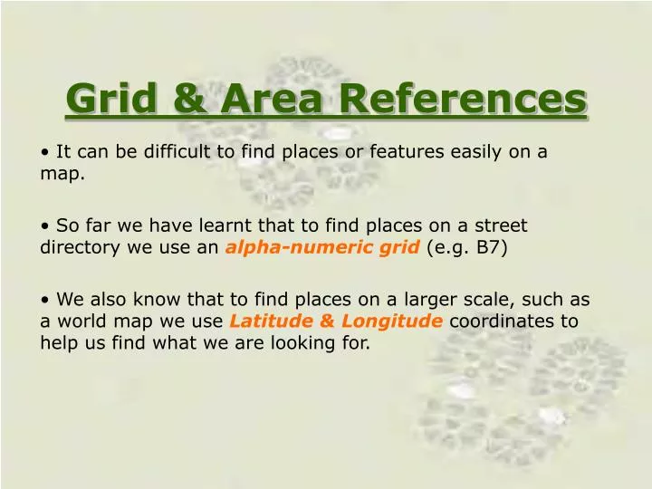
Grid & Area References. It can be difficult to find places or features easily on a map. So far we have learnt that to find places on a street directory we use an alpha-numeric grid (e.g. B7)

E N D
Grid & Area References It can be difficult to find places or features easily on a map. So far we have learnt that to find places on a street directory we use an alpha-numeric grid (e.g. B7) We also know that to find places on a larger scale, such as a world map we use Latitude & Longitude coordinates to help us find what we are looking for.
Topographic maps are large scale and we use these for Area and Grid references
So how do we locate features on a Topographic map? • We can locate places easily on a topographic map by using the maps gridlines. • On a topographic map the vertical( )lines are called eastings because they increase in value as we move eastward. • The horizontal ( ) lines are called northings because they increase in value as we move northwards.
18 17 16 N 15 Northings 22 23 24 25 26 27 Eastings
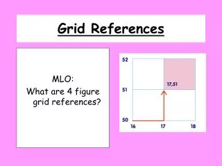
Area Reference • Features such as a small lake, quarry or village are usually located by means of an Area Reference (AR) • To find the (AR) of a feature we use the coordinate in the lower left-hand corner of the grid square in which the feature is located. • You always read the easting first then the northing. (hint to remember E comes before N in the alphabet) • An area reference always has 4 figures EXAMPLE: AR3363 easting northing
The Area Reference of the house is: AR2317 18 Remember with (AR) you use the bottom left hand corner 17 What is the (AR) for: The plane: AR2215 16 The boy: N AR2316 15 22 23 24 25 26 27 Northings Eastings
Grid References • We can locate relatively small and more specific features on map by using Grid Reference (GR). • (GR) locates the exact point on the grid. • Unlike (AR), Grid Reference uses 6 figures. -The first two numbers of each coordinate refers to the eastings and northings that surround the map. - The third number needed to complete each coordinate is obtained by dividing each easting and northing into tenths. Dividing the easting and northing into tenths Example: GR335638 easting northing
What is the grid reference (GR) for the ball in which the boy is about to catch? 18 17 Answer: GR238169 16 N 15 22 23 24 25 26 27 Northing Eastings
Interactives • http://mapzone.ordnancesurvey.co.uk/mapzone/PagesHomeworkHelp/maptivity/gridreferences/ • http://geographyfieldwork.com/TestGridIntro.htm
CLASS EXERCISE • Give the (AR) for the following features: • Church; • Village Hall; • Grove farm; • The dairy farm; • The town of Little Plumpton; • The entire (AR)’s for Gibbet Wood; • The (AR)’s that Dale Road passes through; • The approximate (GR) of Grove farm.
http://www.mape.org.uk/startower/maps/resources/map1.htm • http://www.mape.org.uk/startower/maps/resources/map1b.htm