Download
1 / 17
170 likes | 302 Views
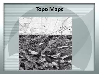
Contour and Topo map Applications. Profile View (Longitudinal Sections): Roads , Canals, Pipes ,… Cross-Sectional View, Roads, Canals, Pipes , Building,…. Chapter 6-Vertical Sections. Longitudinal Sections- Vertical section along the centerline of the complete length of the work.

E N D
Contour and Topo map Applications Profile View (Longitudinal Sections): Roads, Canals, Pipes,… Cross-Sectional View, Roads, Canals, Pipes, Building,…
Chapter 6-Vertical Sections Longitudinal Sections- Vertical section along the centerline of the complete length of the work. Cross-Section : Vertical sections drawn at right angles to the center line. CUT (Level and slope- Upward from formation ) Fill or Embankments ( Downward from Formation) Applications • Determining suitable gradients • Calculating the volume of earth work. • Supplying details of depth of cutting or height of filling required.
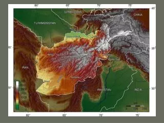
Important points Leveling data and or contour map be obtained. Scale should be as large as possible as it required or limited by paper size. Drawing should shows maximum possible details. Horizontal scale is determined by the length of horizontal distance and the paper size. Vertical scale is determine by the difference of maximum and minimum reduce levels and the paper size. If the difference is small then larger scale is needed. On other hand if the difference if large then small scale should be considered. Design elements must be available, example road (formation) width, building dimension, soil side slope,… Datum: select datum level based on the lowest RL that is included I n the drawing .
Example 1 Draw with proper scale on A4 the profile view of a propose roads as show on the figure below AB (level) point A follows natural terrain BC is level RLB = RLC =75.18m CD. EF , RLEis 65 and RLF is 75 . .
E B A C F
Example 2 Road center line (R1 and R$) W 4.00 M, G 1: 50 Side slope 1: 1 Foul water rising 1 in 40 Invert manhole S1 -2.95 Storm water rising 1 in 40 Invert manhole S1 -2.97
Longitudinal section-Profile viewData collected and reduced R1 @ 4.400 R4 (80) will 6.000 Slope 1in 50
Examples- Sewer line Sewer is 0.80 m in width Excavation: Vertical
Cross-Sections at 40 (RL is 5.200 and 60 (Rl is 6.800). Side Slope 1:1 Width 4:00 m
B A C D Draw sectional view along AB, AC, CD and BD sides of the building. AB=50 meter and CD =40 meter
Homework A uniform slope 5 meter road is proposed between point A and B, soil side slope Is 30 degrees. Perform the following: Draw to maximum scale on A4 a profile view of the road, show the formation location Compute cut and fill along the center line for every station Draw to proper scale the cross section at station A, B and every 20 meter