Download
1 / 21
210 likes | 215 Views
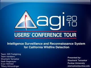
Intelligence Surveillance and Reconnaissance System for California Wildfire Detection. Presented by- Shashank Tamaskar Purdue University stamaska@purdue.edu. Team: ISR Firefighting Team members: Shashank Tamaskar Nadir Bagaveyev Evan Helmeid Tiffany Allmandinger. Overview.

E N D
Intelligence Surveillance and Reconnaissance System for California Wildfire Detection Presented by- ShashankTamaskar Purdue University stamaska@purdue.edu Team: ISR Firefighting Team members: Shashank Tamaskar Nadir Bagaveyev Evan Helmeid Tiffany Allmandinger
Overview • Definition • Abstraction • Modeling and Implementation • Future work
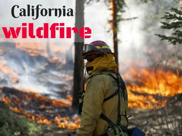
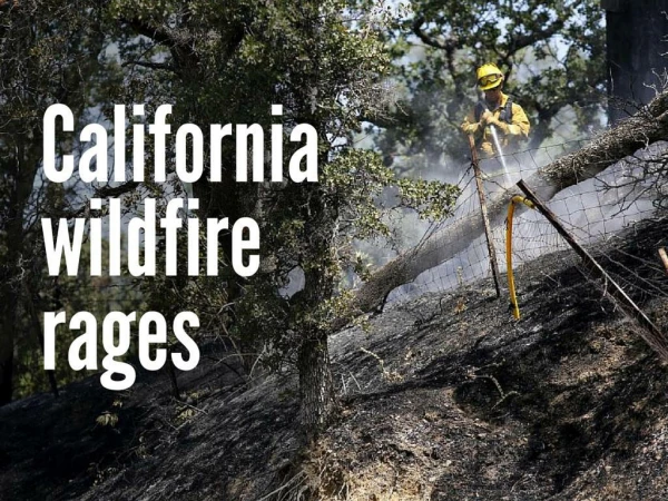
Definition • Need: In 2008, Arsonist fires burned down 25,000 acres of forest land resulting in 24 million dollar damage to property • Objective: To understand and analyze the problems associated with the wildfire prevention and management system and to suggest improvements to enable faster fire detection in the region • SoS traits: Heterogeneous geographically separated agents (Watchtowers, UAVs, arsonists, other human agents) with different degree of autonomy • Status Quo: Current system consists of watchtowers and the reliance on civilian reports. Intelligence of multiple fires and fire state dependent on ground crews or manned aircraft scouting situation. Manned airplanes limited in allowed exposure to fire conditions. No night flying allowed. • Operational context: To limit the scope of the project we have concentrated on interaction between the resource and operational alpha level entities. The following figure shows our area
Abstraction -“Framing key descriptors and their evolution” Paper Model Environment UAVs Detect Track Detect Waypoints Position, Coverage Data Track , Evade Watchtowers Detect Coverage Home Base Calculate UAV path based on coverage of assets Command tracking in case of fire detection Delay: Call 911 after 20 min
Abstraction UAV Path Calculations Different operating scenarios: Zigzag model AOI divided into sectors Coverage due to watchtowers ignored Waypoints predefined ABM Waypoints dynamically added depending upon coverage UAV’s avoid watchtowers Optimal Path Generation Optimal path generation to maximize the coverage
Implementation • Platform: STK is used for calculation of positions of mobile agents while Matlab is used to implement path algorithms and calculate coverage • Object orientation programming is used to rapidly develop large code • (>1000 loc) also the modular architecture of the code helps us keep the effective complexity of the code low • Metrics: Four metrics for system performance • Coverage • Cost • Detection Time • Response time
Implementation • Problems addressed: • Coverage Problem: How to efficiently provide coverage to a area given a set of assets • Detection Problem: How to improve the fire detection time • Random fires • Arsonist fires • Arsonist tracking: Track the arsonist after the fire is detected
Implementation Demonstration of the model
Implementation Simulation Results – Verification/Validation • For a constant field of view: • 1 UAV provides worst coverage • 2 to 5 UAVs do not present significant coverage differences • Coverage metric is directly related to the detection time over all simulations
Implementation Simulation Results • 1 UAV has the worst detection time • 10o, 15o FOV cause significant increase in detection time over 20o, 45o • 20o FOV provides the best coverage for the cost • Cost is directly related to the FOV • Small FOV yields a highly unstable system and requires many more simulations to determine trends • The larger FOV follows the expected trend: more UAVs faster detection
Implementation Simulation Results • Determine effectiveness of watchtowers and impact on UAV necessity • UAVs detected the majority of the fires • Provide significant increase in system performance over the current state • As the number of simulations were increased the fraction of fires detected by the watchtowers became even less • Watchtowers are good for random fires but UAVs are good for arsonist fires. UAVs also allow for arsonist tracking
Implementation Simulation Results • 10o and 15o FOV do not provide low enough detection time • 20o and 45o are the most effective • 20o is the most cost effective • Best performance for the money • 45o does not provide enough benefit increase to justify increased cost over the 20o FOV
Implementation Simulation Results: Arsonist detection • Only 19 out of 132 simulations resulted in arsonist detection • In most cases fires were detected late after they started so arsonists had sufficient time to flee the scene • Probability of arsonist detection increases with increase in number of UAVs, Speed, FOV and altitude • Arsonist detection by Humans was reported too late
Conclusions • Simulation: • Effective and valid: Simulations show a good correlation with paper model • Metric is accurate: Found a good correlation between detection time and coverage metric • More iterations and simulations are necessary to draw proper conclusions • Generated a model which can be applied to other ISR problems • Conclusions: • UAVs with greater FOV and Altitude can significantly improve the detection time • More UAVs provide better coverage, but do not necessarily provide significant benefits • Arsonist detection may better suited with a fleet mix of UAVs. Slow UAVs for fire detection and Fast for Arsonist detection • Watchtowers are not well suited for detection of arsonist fires • A SoS approach is beneficial in analyzing the options for improving the current system, but it may not be feasible to implement the SoS
Future Work • Implement UAV-avoidance algorithm • Do not revisit areas that were just scanned • Limit conflict between UAVs • Consider refueling time • Create a detailed cost model • Determine camera/sensor array to use • Determine optimal UAV for given parameters • Pool together the lessons learned by various teams and develop a general purpose tool for ISR applications which can be used for research at Purdue
System-of-Systems Laboratory: Aeronautics Applications Director: Prof. Dan DeLaurentis (ddelaure@purdue.edu)