Download
1 / 8
80 likes | 210 Views
Taking Yellowstone ’ s Pulse Ground Deformation. Measuring deformation in ancient times. Taking Yellowstone ’ s Pulse Ground Deformation. Reference map for leveling data. Taking Yellowstone ’ s Pulse Ground Deformation. Leveling data from Lake Butte to Mount Washburn, 1923 - 1995.

E N D
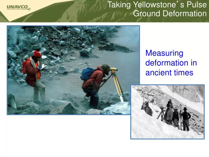
Taking Yellowstone’s PulseGround Deformation Measuring deformation in ancient times
Taking Yellowstone’s PulseGround Deformation Reference map for leveling data
Taking Yellowstone’s PulseGround Deformation Leveling data from Lake Butte to Mount Washburn, 1923 - 1995
Taking Yellowstone’s PulseGround Deformation Measuring ground deformation by satellite
Taking Yellowstone’s PulseGround Deformation GPS stations in near Yellowstone
Taking Yellowstone’s PulseGround Deformation Yellowstone GPS stations
Taking Yellowstone’s PulseGround Deformation Measuring ground deformation by GPS
Taking Yellowstone’s PulseSources • American Museum of Natural History (n.d.) Science Bulletins: Yellowstone: Monitoring the Fire Below, “Signs of Restlessness”. http://sciencebulletins.amnh.org/earth/f/yellowstone.20060601/essays/86_print.php • Christensen, R. et. al.2007. USGS: Open-file Report 2007-1071. “Preliminary Assessment of Volcanic and Hydrothermal Hazards in Yellowstone National Park and Vicinity.“ http://pubs.usgs.gov/of/2007/1071/ • Dzurisin, D.; Savage, J.C.; and Fournier, R.O. 1990. “Recent crustal subsidence at Yellowstone Caldera, Wyoming”. Bulletin of Volcanology, v. 52, p. 247-270. accessed from Yellowstone Volcano Observatory, “Leveling Data Across Yellowstone Caldera”. http://volcanoes.usgs.gov/yvo/LvlData1923-1995.html • Puckas, C.; Smith, R; Meertens, C.; and Chang, W-L. 2007. “Crustal deformation of the Yellowstone-Snake River Plain volcano-tectonic system: Campaign and continuous GPS observations, 1987-2004”. Journal of Geophysical Research, v. 112. Accessed from http://volcanoes.usgs.gov/yvo/2007/PuskasJGR.pdf • USGS. 2010. Yellowstone Volcano Observatory. “Volcano Monitoring at Yellowstone National Park” http://volcanoes.usgs.gov/yvo/activity/monitoring/index.php • USGS. 2008. Yellowstone Volcano Observatory. “Recent ups and downs of Yellowstone Caldera.” http://volcanoes.usgs.gov/yvo/publications/2007/upsanddowns.php • USGS. 2005. U.S. Geological Survey Fact Sheet 2005-3024: “Steam Explosions, Earthquakes, and Volcanic Eruptions--What’s in Yellowstone’s Future?” http://pubs.usgs.gov/fs/2005/3024/ • USGS. 2004. U.S. Geological Survey Fact Sheet 100-03: Tracking Changes in Yellowstone’s Restless Volcanic System. http://pubs.usgs.gov/fs/fs100-03/