Download
1 / 39
410 likes | 566 Views
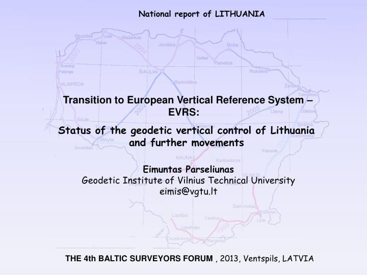
Transition to European Vertical Reference System – EVRS : Status of the geodetic vertical control of Lithuania and further movements. National report of LITHUANIA. Eimuntas Parseliunas Geodetic Institute of Vilnius Technical University e imis @vgtu.lt.

E N D
Transition to European Vertical Reference System – EVRS: Status of the geodetic vertical control of Lithuania and further movements National report of LITHUANIA Eimuntas ParseliunasGeodetic Institute of Vilnius Technical Universityeimis@vgtu.lt THE 4th BALTIC SURVEYORS FORUM , 2013, Ventspils, LATVIA
General ideas • World Geodetic Vertical Datum and System • Local (European) Vertical Reference System • National Geodetic Vertical Network • Further movements Outline
Approaches for the construction and unification of Geodetic Vertical Reference Systems and Frames: • Spirit leveling • Gravity field General ideas
General ideas Ellipsoidal height, orthometric height, local geoid, vertical datum...
Geopotential number m2s-2 General ideas Dynamic height Nominal value of gravity at mid-latitude Orthometric height Average value of gravity along the plumb line Normal height Average value of normal gravity along the normal plumb line
L. E. Sjöberg. The geoid or quasigeoid – which referencesurface should be preferred for a national height system? Journal of Geodetic Science,3(2), 2013, 103-109 General ideas As there is a similarproblem for the uncertainty in the topographic density distributionin determining orthometric heights (but not for normal heights),we conclude that a normal height system is the best choice for afuture height system. Once the normal gravity field is defined, thenormal heights and the quasigeoid can be determined without anyerror stemming from the topographic mass distribution, and thequasigeoid can be estimated more precisely than the geoid as the reference surface.
Different teams computed W0 using the same input data, but their own methodologies: Input data Mean sea surface models (MSS): CLS11 (Schaeffer et al. 2012) DTU10 (Andersen 2010) Global gravity models (GGM): EGM2008 (Pavlis et al, 2012) EIGEN6C (Förste et al. 2011) GOCO3S (Mayer-Gürr et al. 2012) World Geodetic Vertical Datum and System
Some examples of W0 estimates World Geodetic Vertical Datum and System
Remarks on W0 The reference level W0 for potential differences can arbitrarily be appointed. However, to get the worldwide consistency desired within a global vertical reference system, the selected W0 value must be realisable with high-precision at any time and anywhere around the world. Therefore, it is necessary to estimate it from real observations of the Earth's gravity field and surface. The uniqueness, reliability and repeatability of the global reference level W0 (or global geoid) can only be guaranteed by introducing specific conventions (like any other reference system!). On the contrary, there will exist as many height systems as W0 computations. World Geodetic Vertical Datum and System
All the computations are delivering very close results (around 62 636 854 m2s-2), but there are still differences of about 0,5 m2s-2(~ 5 cm). It is necessary to start defining the standards and conventions for a formal recommendation on W0. World Geodetic Vertical Datum and System Final recommendation (till the end of 2013): 62 636 854,0 +/- 0,2m2s-2 But... Canada: November 2013, CGVD2013 with 62 636 856,0 m2s-2 USA till 2020 also with 62 636 856,0 m2s-2
(EGM96) World Geodetic Vertical Datum and System
Project „Investigations of the requirementsfor a future 5 mm (quasi)geoid model“ has recently been started within theNordic Geodetic Commission (NKG). World Geodetic Vertical Datum and System The NKG gravity database will soon beupdated in connection with the NKG-project „Computation of the NKG2014 geoid model“.
Spirit leveling ApproachEVRF2007 Local (European) Vertical Reference System
Spirit levelingapproachTransformation parameter Estimation of 3 parameters (plane) as transformation parameters between the national vertical reference frames and EVRF2007 Local (European) Vertical Reference System http://www.crs-geo.eu
Lithuanian vertical (height) system is still not adopted. The project of The Resolution of theGovernment of Lithuania is prepared! It is based on EVRS Conventions 2007. National Geodetic Vertical Network (1)
National Geodetic Vertical Network (1) 10 datum points
Data of datum points National Geodetic Vertical Network (1)
Differences between some height systems National Geodetic Vertical Network (14)
Precise levelling in 2009-2011 (in green) and near future plans (in red) National Geodetic Vertical Network (14)
Vertical network (1st and 2nd order) Red lines – foreseen 2nd order lines
Vertical network - numbers Characteristics of projected 2nd order Network Total lenght of lines – 3100 km: Ready - 300 km (in 2007) + 300 km (in 2012) Foreseen – 2200 km (in 2013-2015) Total number of points - 3300 (new –2800)
Lithuanian state geodetic vertival network fits to the requirements of the modern society • It necessary to speed up the adoption of the Vertical (height) and Gravity systems in Lithuania • The densification of the first order vertical network should be executed to fulfill the all needs of the geodesy science Conclusions
Adoption of vertical (height) and gravity systems – 2013 • Quasigeoid model (2 cm) - 2014 • NKG GNSS campaign – 2013 • LitPOS modernization – 2013-2015 • Second order vertical network – 2013-2015 • Absolute gravity measurements at Vilnius, Panevezys and Klaipeda – 2013 • Gravity survey – 2016-2018 • GNSS campaign at vertical network points - 2019 • Quasigeoid model (5mm) - 2020 Future plans
Thanks… Thank you for your attention!