Download
1 / 6
60 likes | 177 Views
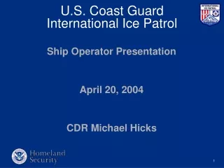
U.S. Coast Guard International Ice Patrol. Ship Operator Presentation April 20, 2004 CDR Michael Hicks. R.M.S. Titanic 1912. TITANIC. IIP’s Core Purpose : Promote safe navigation in the northwest Atlantic Ocean when danger of iceberg collision exists. Products and Information ICE CHARTS

E N D
U.S. Coast Guard International Ice Patrol Ship Operator Presentation April 20, 2004 CDR Michael Hicks
TITANIC IIP’s Core Purpose: Promote safe navigation in the northwest Atlantic Ocean when danger of iceberg collision exists.
Products and Information • ICE CHARTS RADIO FACSIMILE INTERNET TELEFACSIMILE
Products and Information • ICE BULLETINS (TEXT) INMARSAT SAFETY-NET SITOR NAVTEX INTERNET AUTOMATED WEATHER SYSTEM TELEFACSIMILE • SUBJ: INTERNATIONAL ICE PATROL (IIP) BULLETIN • SECURITE • 01 JUL 0000 UTC ESTIMATED LIMIT OF ALL KNOWN ICE: FROM 4731N 5236W TO 4730N 4630W TO 4830N 4630W TO 5200N 4830W THEN NORTHWARD. ICE LIMIT NORTH OF 52N IS OBTAINED FROMCANADIAN ICE SERVICE. • RADAR TARGETS OUTSIDE ICE LIMIT: 4359N 4916W, 4734N 4409W,4752N 4425W, 4713N 4926W. • MANY ICEBERGS ARE NORTH OF 4900N AND WEST OF 5100W. • IN ACCORDANCE WITH THE 2002 CHANGES TO SOLAS, SHIPS TRANSITING THE REGION GUARDED BY THE ICE PATROL ARE REQUIRED TO USE THE SERVICES PROVIDED DURING THE ICE SEASON. • USE EXTREME CAUTION WHEN NEAR THE GRAND BANKS AS ICE MAY BE PRESENT. REPORT POSITION AND TIME OF ANY ICE ENCOUNTERED TO COMINTICEPAT VIA CG COMMUNICATIONS STATION NMF, NMN, INMARSAT CODE 42, OR ANY CANADIAN COAST GUARD RADIO STATION. MAKE UNCLASSIFIED SEA SURFACE TEMPERATURE AND WEATHER REPORTS TO COMINTICEPAT EVERY SIX HOURS WITHIN LATITUDES 40NAND 52N AND LONGITUDES 39W AND 57W. • INTERNET INFORMATION: http://www.uscg.mil/LANTAREA/IIP/HOME.HTML • BT