Download
1 / 10
110 likes | 257 Views
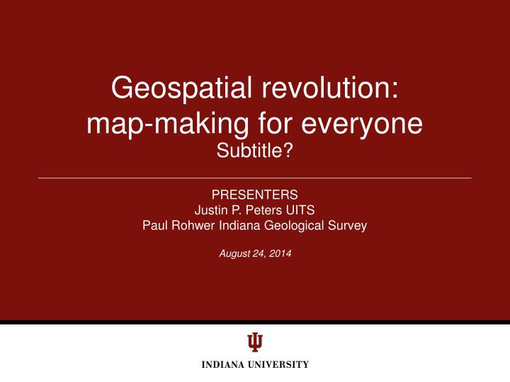
Geospatial revolution: map-making for everyone. Subtitle?. PRESENTERS Justin P. Peters UITS Paul Rohwer Indiana Geological Survey. Welcome to the Geospatial Revolution. http://geospatialrevolution.psu.edu/episode1/chapter1. ESRI Site License.

E N D
Geospatial revolution: map-making for everyone Subtitle? PRESENTERS Justin P. Peters UITS Paul Rohwer Indiana Geological Survey
Welcome to the Geospatial Revolution • http://geospatialrevolution.psu.edu/episode1/chapter1 Customize footer: View menu/Header and Footer
ESRI Site License • Brief overview of the Academic Site License for IU (all 8 campuses) • http://www.esri.com/industries/university/index.html • Includes server based products which allow integrating interactive maps of your data into web and mobile clients. Customize footer: View menu/Header and Footer
maps.iu.edu • http://maps.iu.edu/Bloomington.php?ll=39.167552,-86.523299&scale=1128 Customize footer: View menu/Header and Footer
Indiana Institute on Disability and Community • IIDC institutional sql server database used to create interactive map: • http://www.iidc.indiana.edu/instrcmap/gismap.html# Customize footer: View menu/Header and Footer
Map services for Mobile clients • Access to over 20TB of Indiana GIS data on a phone? • Mobile device API’s allow integrating map services into mobile apps. • iPhone, Android, Windows Mobile, etc. Customize footer: View menu/Header and Footer
Coming soon to IU mobile • Integrating institutional facility GIS data into IU mobile maps … coming soon. • Same map data on desktop, web, and mobile platforms. Customize footer: View menu/Header and Footer
Indiana Geographic Information Council • Nonprofit organization • Members range across statewide GIS spectrum • Official statewide geographic information coordinator • Hosts GIS Conference in Bloomington, Spring 2012 • Anna Radue (UITS) is President Customize footer: View menu/Header and Footer
IndianaMap • Serves statewide GIS data • Incorporates federal metadata standard • New endpoint protocols allow developers to craft data requests to interest. • Let’s have a look: http://maps.indiana.edu Customize footer: View menu/Header and Footer
Data to Insight… on a map • Arcgis.com • Geocode Data • Formats: CSV, TXT, and GPX files • Embed map on your page or • Share link with co-workers Customize footer: View menu/Header and Footer


![The Industrial Revolution [ 1760-1840 ]](https://cdn2.slideserve.com/4227348/slide1-dt.jpg)