Download
1 / 36
360 likes | 606 Views
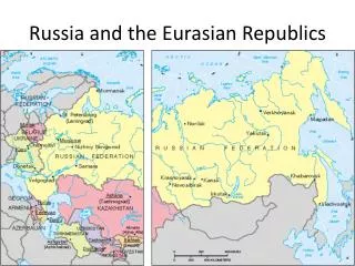
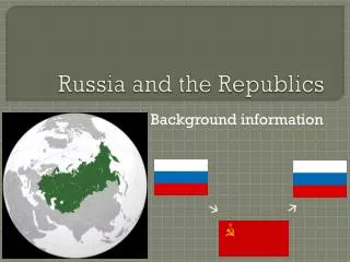
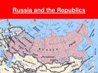
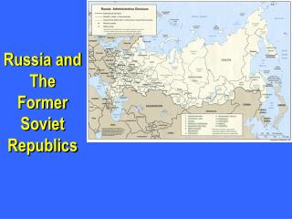
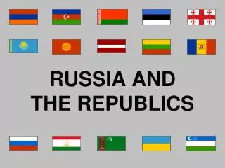
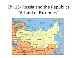
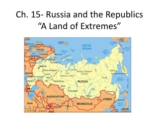
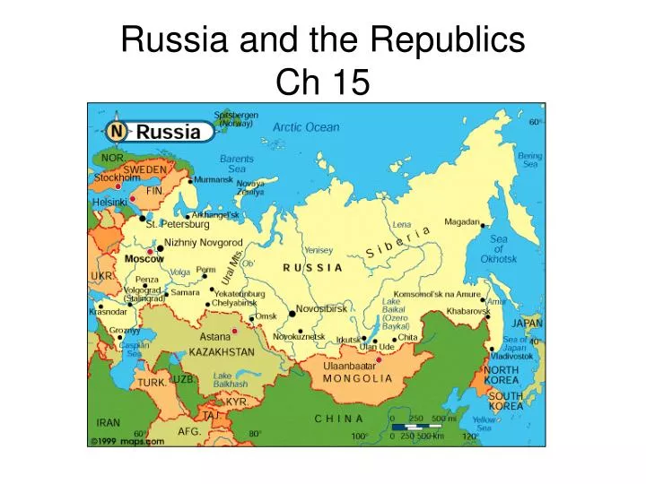
Russia and the Republics Ch 15. Northern Landforms. Intro 1/6 of world landmass North European Plain Lowland In west to Ural Mtns Chernozem – fertile soil of plain Lots of agriculture here 75% of population Moscow (Russian cap), St Petersburg, Kiev (Ukraine). West Siberian Plain.

E N D
Northern Landforms • Intro • 1/6 of world landmass • North European Plain • Lowland • In west to Ural Mtns • Chernozem – fertile soil of plain • Lots of agriculture here • 75% of population • Moscow (Russian cap), St Petersburg, Kiev (Ukraine)
West Siberian Plain • E of Urals to Yenisey R • Arctic O to foothills of Altay Mtns • Slopes downhill to N • Rivers drain to Arctic O
Central Siberian Plateau and Russian Far East • Uplands and mtns dominant • High plateaus • 1-2000 ft • Far East • E of Lena R • Volcanic ranges • Kamchatka peninsula 120 volcanoes 20 active • Sakhalin, Kuril Islands Seized from Japan after WWII Japan still claims
Southern landforms • Caucasus and Other Mtns • Caucasus • btw Black and Caspian Seas • form border btw Russia and Transcaucasia Trans= Armenia, Azerbaijan, Georgia • Further east • Tian Shan and others • Southeastern border of Central Asia Kazakhstan, Kyrgyzstan, Turkmenistan, Uzbekistan • Block moisture from south Create arid climate in central Asia
Turan Plain • Lowlands • East of Caspian • 2 rivers • Syr Darya • Amu Darya • Very dry area – 2 deserts • Kara Kum • Kyzyl Kum
Rivers and Lakes • Drainage Basins and Rivers • Drainage basin=area drained by river + tributaries • Arctic Basin • Ob • Yenisey • Lena 3=1,750,000 cubic ft/sec • Caspian • Volga Longest river in Europe 60% Russia’s river traffic
Lakes • Caspian • Saltwater • 750 mi N-S • Largest inland sea-world • Aral • Saltwater • Lost 80% water since 1960 • Extensive irrigation • Vanish soon
Lake Baikal • Deepest in world • 1 mile • 400 mi N-S • 20% world’s fresh water • 1200 species unique to lake
Intro Lots of resources Transportation difficult Abundant Resources Coal Iron, metals Oil & gas Forests 1/5 world total Hydroelectric-rivers Resource Management Harvest and transport difficult Harsh climate Long distances Siberia Source of many resources In far east – long distances Frigid temps Environmental damage Mining Oil/gas production Thermal pollution Hot discharge from dams/hydroel plants Little govt control of pollution Regional Resources
An explosion at Russia's largest power generator—the Sayano-Shushenkaya hydroelectric plant in Siberia—has killed at least 12 people, and another 64 are thought to be lost in the wreckage. It's an environmental disaster of monumental proportions: in addition to the tragic deaths, the damaged plant has released an oil slick over 10 miles of the surface of nearby Yenisei River August, 2009