Download
1 / 40
420 likes | 616 Views
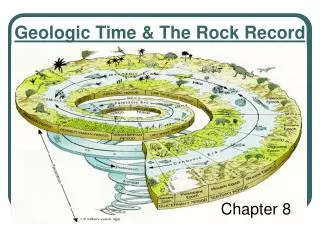
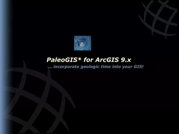
PaleoGIS* for ArcGIS 9.x … incorporate geologic time into your GIS!. PaleoGIS* for ArcGIS 9.x Agenda. What is PaleoGIS? History Key Concepts Hierarchical Tectonic Analysis Plate Model Stack Program Architecture Licensing / Requirements PaleoGIS Application Tectonic Plate Data

E N D
PaleoGIS* for ArcGIS 9.x … incorporate geologic time into your GIS!
PaleoGIS* for ArcGIS 9.x Agenda • What is PaleoGIS? • History • Key Concepts • Hierarchical Tectonic Analysis • Plate Model Stack • Program Architecture • Licensing / Requirements • PaleoGIS Application • Tectonic Plate Data • User Interface • Sample Analyses • Demonstration
PaleoGIS* for ArcGIS 9.x What is PaleoGIS? • A GIS that incorporates the aspect of time • Creates, displays, analyzes, and manipulates published plate tectonic models • Visualize your own data in a plate tectonic and paleogeographic context • An extension to ArcGIS from ESRI
PaleoGIS* for ArcGIS 9.x What is PaleoGIS? Lithofacies Paleoclimate Palegeography Model-based Analysis Plate Tectonic Model Basic Geosciences & Geophysics
PaleoGIS* for ArcGIS 9.x History – Interactive Plate Tectonic Modeling • Early 80’s • Megadrifter • Custom Evans & Sutherland hardware • Late 80’s to Early 90’s • Terra Mobilis • PGIS/Mac • Standard Macintosh hardware • Mid 90’s to Present • PaleoGIS (ArcView 3) • PaleoGIS (ArcView 9.x) • Standard Windows hardware plus ESRI
PaleoGIS* for ArcGIS 9.x History – PaleoGIS Inception • Original idea to use ArcView 3 • Rob Langford (BHP) and Steve Gardoll (UWA) • PaleoGIS Software • Created by Malcolm Ross • Based upon concepts developed by Chris Scotese • Plate tectonic and paleogeographic model • Available from variety of providers
PaleoGIS* for ArcGIS 9.x Key Concepts – Hierarchical Tectonic Analysis Spin Axis Hot Spots, PaleoMag, Paleobiogeography Africa North Atlantic Ridge South Atlantic Ridge North America SAM-1 South America “Black List” GOM San Andreas ??? Yucatan Baja SAM-2 Cayman Caribbean
PaleoGIS* for ArcGIS 9.x Key Concepts – Plate Model Stack Corporate Master (Complete, read-only, globally shared) Regional Model 1 (e.g. Southeast Asia) (Partial, globally shared) Regional Model 2 (e.g. Caribbean) (Partial, globally shared) Workgroup(Initially empty, workgroup shared) Experimental(Initially empty, local, not shared)
Recon MDB n: Local WGS 84 pGDB pGDB Raster PaleoGIS* for ArcGIS 9.x Key Concepts – Program Architecture ArcGIS Data sources: Any location Any projection Shapefile SDE pGDB Coverage Raster Published Model: Spatial - Plates, geology - “Cookie Cutter” Motions ArcToolbox Recon MDB 1: Local WGS 84 pGDB pGDB Raster Cache: Local WGS 84 pGDB pGDB Raster
PaleoGIS* for ArcGIS 9.x User Interface
PaleoGIS* for ArcGIS 9.x Requirements • ArcGIS 9.x • Any license level • ArcGIS Spatial Analyst • For grid processing • Plate tectonic data models • Available from various sources
PaleoGIS* for ArcGIS 9.x Availability • Application and data licensed separately • PaleoGIS available through GSI • Plate tectonic data models • PALEOMAP Project (C. R. Scotese) • University of Texas PLATES Project (UTIG) • Fugro-Robertson? • GETECH?
Create, display, analyze and manipulate plate tectonic data models • Incorporate your own plate data and paleogeographic context • Add your own data to the map • Simplified parent-child plate relationship management • Plate velocity and spherical directional analysis • Incorporate your own analysis tools • Plate movement animations Early Cenozoic Map (64 Million Years Ago) PaleoGIS* for ArcGIS 9.x Summary
Sample Analysis Early Cenozoic Map (64 Ma) – Terrestrial Impact Sites
Sample Analysis Moscovian Map (mid-Penn 306 Ma) – Climate Simulation Results Timon-PechoraBasin
Australia South America Africa Florida South Pole Sample Analysis Caradocian Map (450 Ma) – Paleogeologic Map
Sample Analysis Indian Plate – Potential Field Data Reconstruction
PaleoGIS* for ArcGIS 9.x Tectonic Plate Movement to 150 Million Years Ago
PaleoGIS* for ArcGIS 9.x Tectonic Plate Movement to 150 Million Years Ago
PaleoGIS* for ArcGIS 9.x Tectonic Plate Movement to 150 Million Years Ago
PaleoGIS* for ArcGIS 9.x Tectonic Plate Movement to 150 Million Years Ago
PaleoGIS* for ArcGIS 9.x Tectonic Plate Movement to 150 Million Years Ago
PaleoGIS* for ArcGIS 9.x Tectonic Plate Movement to 150 Million Years Ago
PaleoGIS* for ArcGIS 9.x Tectonic Plate Movement to 150 Million Years Ago
PaleoGIS* for ArcGIS 9.x Tectonic Plate Movement to 150 Million Years Ago
PaleoGIS* for ArcGIS 9.x Tectonic Plate Movement to 150 Million Years Ago
PaleoGIS* for ArcGIS 9.x Tectonic Plate Movement to 150 Million Years Ago
PaleoGIS* for ArcGIS 9.x Tectonic Plate Movement to 150 Million Years Ago
PaleoGIS* for ArcGIS 9.x Tectonic Plate Movement to 150 Million Years Ago
PaleoGIS* for ArcGIS 9.x Tectonic Plate Movement to 150 Million Years Ago
PaleoGIS* for ArcGIS 9.x Tectonic Plate Movement to 150 Million Years Ago
PaleoGIS* for ArcGIS 9.x Tectonic Plate Movement to 150 Million Years Ago
PaleoGIS* for ArcGIS 9.x Tectonic Plate Movement to 150 Million Years Ago
PaleoGIS* for ArcGIS 9.x Tectonic Plate Movement to 150 Million Years Ago
PaleoGIS* for ArcGIS 9.x Tectonic Plate Movement to 150 Million Years Ago
PaleoGIS* for ArcGIS 9.x Tectonic Plate Movement to 150 Million Years Ago
PaleoGIS* for ArcGIS 9.x Tectonic Plate Movement to 150 Million Years Ago
PaleoGIS* for ArcGIS 9.x Tectonic Plate Movement to 150 Million Years Ago
PaleoGIS* for ArcGIS 9.x Tectonic Plate Movement to 150 Million Years Ago
PaleoGIS* for ArcGIS 9.x Tectonic Plate Movement to 150 Million Years Ago