Download
1 / 13
180 likes | 1.17k Views
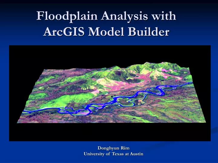
Floodplain Analysis with ArcGIS Model Builder. Donghyun Rim University of Texas at Austin. What is floodplain and why is it important?. Floodplain - the lowland adjacent to a river, lake or ocean. Floodplains are designated by the frequency of the flood that is large enough to cover them.

E N D
Floodplain Analysis with ArcGIS Model Builder Donghyun Rim University of Texas at Austin
What is floodplain and why is it important? • Floodplain - the lowland adjacent to a river, lake or ocean. • Floodplains are designated by the frequency of the flood that is large enough to cover them. • The National Flood Insurance Program has established a minimum standard of protection against the 100-year flood. • Flood damage reduction – critical interest
Work Site Austin Waller Creek
Conceptual Process • Rainfall input • Topologic dataset of the watershed of Waller Creek • Runoff Simulation by using HEC-HMS • Calculation of water surface-elevations along the channel with HEC-RAS • Transformation of water-surface elevation to a unique inundation area known as flood plain
Marvelous Toolbox-MAP2MAP Developed by Oscar Robayo
Rainfall Map to Flood Inundation Map Transfer Data from NEXRAD Cell to Subbasins NEXRAD Rainfall Data Import into Geodatabase Export Timeseries of Rainfall to HEC-DSS Streamflow Hydrographs HEC-HMS Runoff Data (HEC-DSS) to GIS Water Surface Elevation File HEC-RAS Polygon as Inundated Area Convert WSE to WS TIN Import to GIS as XML Format
Data Collection 1. NEXRAD Rainfall Data 2. Topological Hydrography
3. HEC-HMS 4. HEC-RAS
5.DEM 6. Orthographic Photo
Future Work • Use of 10 m cell DEM for delineation of Watershed. • Perform Map2Map run for Waller Creek. • Use of rainfall for another time period
Special thanks to • Dr. Maidment • Oscar Robayo • Laton Carr