Download
1 / 17
170 likes | 274 Views
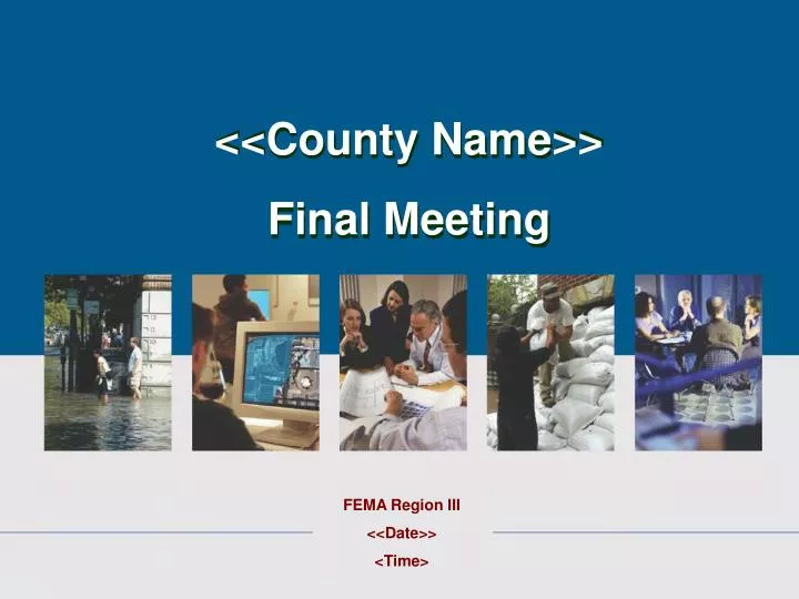
<<County Name>> Final Meeting. FEMA Region III <<Date>> <Time>. Introduction and Purpose. This is a public meeting to: Present the new products Explain current revision Review administrative procedures Discuss the NFIP Touch base. <<County Name>> DFIRM Digital Conversion.

E N D
<<County Name>> Final Meeting FEMA Region III <<Date>> <Time>
Introduction and Purpose This is a public meeting to: • Present the new products • Explain current revision • Review administrative procedures • Discuss the NFIP • Touch base
<<County Name>>DFIRM Digital Conversion Mapping Partner Name • List Mapping Partner Information or credentials here.
Convert existing effective FIRM to GIS-based digital maps Conforms to new County Base Maps and 2’ contour topography County-wide Format No New Modeling <<County Name>> DFIRM Digital Conversion • Scope of Services • Develop Digital Flood Insurance Rate Map (FIRM) and Flood Insurance Study (FIS) Report
Release of Preliminary Maps • Electronic floodplain information will enhance: • Planning • Permitting • Insurance Applications
Overview of the NFIP 1968- National Flood Insurance Program established 1973- Mandatory Flood Insurance Purchase Requirement 1994-Requirement to assess its flood hazard map inventory at least once every 5 years 2004- DFIRM legal equivalent to FIRM
Community Floodplain Management • Permits are required for floodplain development • The lowest floor is to be at or above the base flood elevation (BFE) • The concepts of substantial damage and improvement must be enforced • No increase in BFE is allowed in the floodway
Six-Month Ordinance Review Period The Letter of Final Determination starts a 6 month compliance period for participating jurisdictions to update ordinances Participating jurisdictions: • List of participating jurisdictions here.
Use of Preliminary Maps • Best available data • Use unless community intends to request revision
Flood-prone Communities • Application for Participation • Resolution of Intent • Floodplain Management Regulations MHIP • List Flood-Prone Communities here.
Communities without Identified Flood Hazards • Application for Participation • Resolution of Intent MHIP • List communities without identified Flood Hazards here.