Download
1 / 17
180 likes | 253 Views
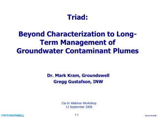
Simulation of Potential Mobility of Contaminant Plumes. Prepared for Sacramento Central Groundwater Authority. July 13, 2011. Project Objective.

E N D
Simulation of Potential Mobility of Contaminant Plumes Prepared for Sacramento Central Groundwater Authority July 13, 2011
Project Objective • Use the SacIWRM Particle Tracking Module (PTM) to simulate the temporal and spatial movement of regional contamination plumes for a 105-year hydrologic period • Regional contamination plumes simulated: • Aerojet • Boeing • McClellan • Mather • Sacramento Downtown Railyard
Project Approach • Collect data & update the SacIWRM model as needed • Use PTM to track particles, conservatively representing contamination plumes
Recent History of SacIGSM Baseline Model Development North Area refinement, re-calibration, and baseline update in September 2007 (SGA) Central Area and South Area refinement & re-calibration in June 2008 (TNC) Central Area baseline update in January 2009 (SCGA) South Area baseline update in April 2009 (RBI) Update of Remediation Operations June 2010 (SGA & SCGA)
Baseline Model AssumptionsLand Use • Land use based on DWR Land Use Survey 2000 Sacramento County. • Non-urban parcels converted to urban between 2000 and 2007 were urbanized for the model based on Sacramento County APN data.
Water Use • Incorporates • Groundwater • Surface water • Tailwater reuse • Recycled water • Agricultural • Crop type and soil/climate data – Model calculations • Municipal • UWMP data and local data • Calibrated assumptions for rural areas
Remediation Operations Update • SacIWRM was updated with data on planned future remediation operations for Aerojet, Boeing, and Mather • Operations of McClellan reflected current level of remediation • No remediation operations at the Railyard site
Summary • 10 Years • No Aerojet or Boeing particles representing the plume have escaped into the SCGA production wells influence area • 1% of Mather particles representing the plume have escaped into the SCGA production wells influence area • 105 Years • 1% of Aerojetparticles representing the plume have escaped into the SCGA production wells influence area • 8% of Boeing particles representing the plume have escaped into the SCGA production wells influence area • 19% of Mather particles representing the plume have escaped into the SCGA production wells influence area
Relation to Mather Cleanup Work • Presentation given by AFRPA - May Board meeting • Differences due to scale (space and time) • SacIWRM – includes impacts of regional groundwater system • Mather – • Model includes more detailed, local lithology • Detailed concentration data • Monitoring activities lead decision making • Monitoring allows for ongoing optimization of cleanup
Needed Coordination • Development activities • New supply wells • Preservation of monitoring network • Modeling • Regional conditions Local model boundaries • Remediation pumping Regional model • Cleanup progress updates • Element of GWMP: Control of the Migration and Remediation of Contaminated Groundwater