Download
1 / 19
190 likes | 275 Views
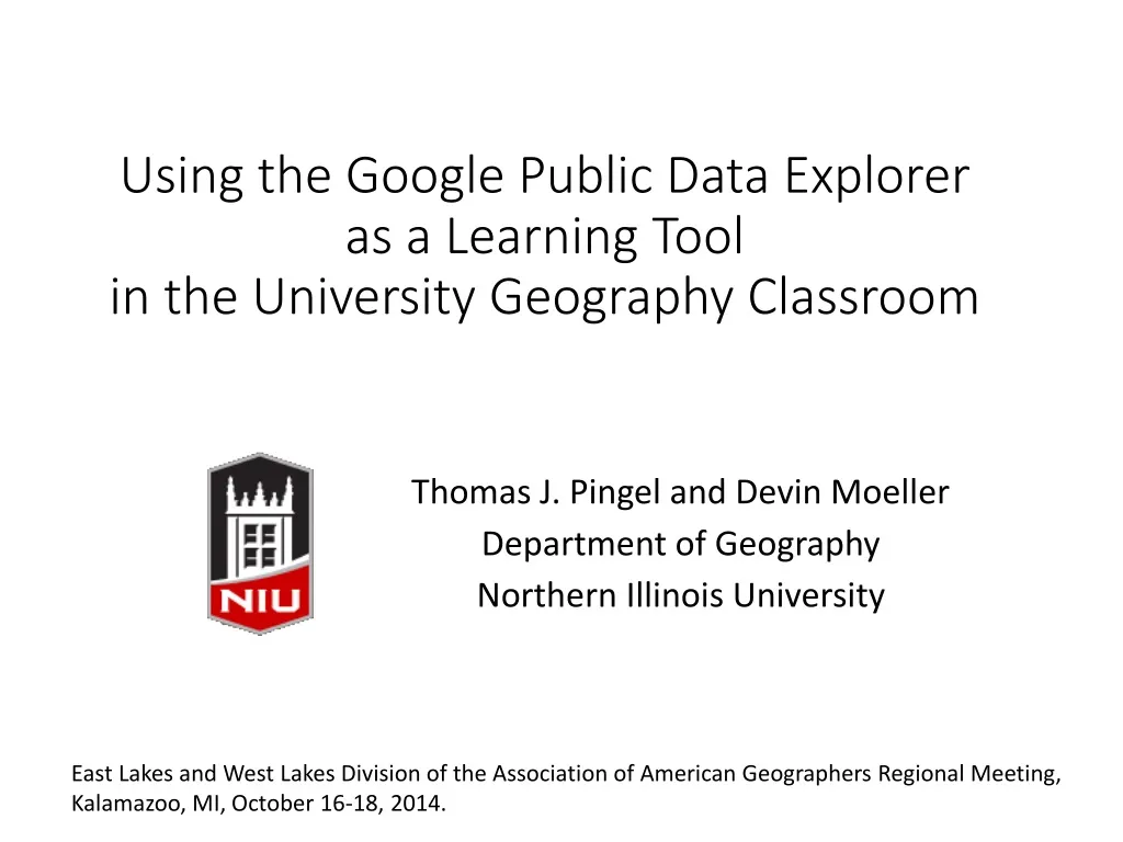
Using the Google Public Data Explorer as a Learning Tool in the University Geography Classroom. Thomas J. Pingel and Devin Moeller Department of Geography Northern Illinois University.

E N D
Using the Google Public Data Explorer as a Learning Tool in the University Geography Classroom Thomas J. Pingel and Devin Moeller Department of Geography Northern Illinois University East Lakes and West Lakes Division of the Association of American Geographers Regional Meeting, Kalamazoo, MI, October 16-18, 2014.
National Assessment of Educational Progress Geography Test (2010) Source: National Center for Education Statistics. (2011). The nation’s report card: Geography 2010. Reprinted in: Charting the Course: A Road Map for 21st Century Geography Education: Executive Summary.
Source: National Center for Education Statistics. (2011). The nation’s report card: Geography 2010. Reprinted in: Charting the Course: A Road Map for 21st Century Geography Education: Assessment Report.
Imagine a classroom where… • learning activities are engaging, student-centered, hands-on, and focused on student thinking and experiences with real-world issues • students investigate problems and solutions through fieldwork and geospatial technologies, such as web-based GIS and remotely sensed images • students analyze maps, photographs, graphs, and charts to better understand patterns and distributions of geographic phenomena
GIS in the Classroom: Tools for Learning • ESRI for Education • Curriculum Support • ArcGIS Online • But both teacher and student training are problematic • Google Earth • Excellent public buy-in • Browser integration • Strong research community • Great for representing places, but what about spatial patterns? Al-Masjid Al-Haram in Mecca
The Google Public Data Explorer http://www.google.com/publicdata/directory
Classroom Use Case: World Regional Geography • Show both graphs and maps in class; students need to see examples • Teach basic data gathering, data entry, and simple graph production with Microsoft Office (Excel and PowerPoint) and Google Drive • Identify significant quantitative variables • Find relationships between variables and describe geographic distributions • Conduct research to explain patterns
Custom data can be uploaded, and existing datasets can be connected via the Dataset Publishing Language NSF data on female participation rates in STEM disciplines custom loaded into the GPDE.
Concluding thoughts • Graphical literacy is a key component in helping students become active knowledge builders • Students need to be able to "play" with data • Tools need to be easy to use for both students and teachers • Reduce data gathering demands • Responsive and well-constructed interface • Geography is ideally suited to approach graphical literacy with via more than maps alone • Integrate spatial and non-spatial perspectives
One alternative to GIS software and Google Earth is the United Nations Environmental Data Explorer.