Download
1 / 15
150 likes | 270 Views
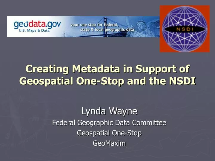
Creating Metadata in Support of Geospatial One-Stop and the NSDI. Lynda Wayne Federal Geographic Data Committee Geospatial One-Stop GeoMaxim. Question?. What is your next step in implementing or enhancing metadata creation within your organization?. Metadata… again?.

E N D
Creating Metadata in Support of Geospatial One-Stop and the NSDI Lynda Wayne Federal Geographic Data Committee Geospatial One-Stop GeoMaxim
Question? What is your next step in implementing or enhancing metadata creation within your organization?
Metadata… again? Metadata has long been promoted by the Federal Geographic Data Committee (FGDC), state GIS coordinators, and project managers as a means to: • preserve organizational data investments • instill data accountability and liability • facilitate data sharing.
The Times They are a Changin’ International metadata standard ISO ANSI e – I – e – I – o….. • transitional process • guidance documents and presentations • tools under development • stay the course (CSDGM) all shall be well…
The Times They are a Changin’ Geospatial One-Stop one of 19 federal e-gov initiatives Portal to: • NSDI Clearinghouse • other metadata servers • web map applications • related information
Metadata: official language for the geospatial community • data discovery and clearinghouse operations • data exchange and use • data management • ESRI ArcCatalog • Intergraph SMMS quality metadata is operational metadata…
Go Beyond the Minimum • CSDGM mandatory elements are those common to all data types and organizations not most critical • value of metadata is to capture that which is unique create organizational templates that designate elements and fixed content
Links to Services and Data • Online_Linkage is a repeatable field • provide multiple links to: • data download • data clearinghouse • webmapping applications and services enable users to locate data and related services…
ISO Topic Categories as Keywords • select one or more categories to aid in data search and discovery (see handout) boundaries oceans health transportation economy society elevation farming location biota structure geoscientificInformation environment utilitiesCommunication inlandWaters planningCadastre intelligenceMilitary imageryBaseMapsEarthCover climatologyMeteorologyAtmosphere
ISO Topic Categories as Keywords • aids translation to ISO metadata • data can sort into geodata.gov ‘channels’
Document Planned Data Acquisitions • promotes data development partnering • required of federal agencies • $1 million current • $500,000 next fiscal year • geodata.gov • ‘Status’ provided as a data search element • calls for partnerships can be featured within Channels
Publish or Perish Publish your metadata via: • NSDI Clearinghouse Node (update to ISITE 2.1) • LAGIC • NASA RAC / NWRC • LUMCON • ArcIMS Metadata Server • Web Accessible Folder • Open Architecture Initiative Protocol for Metadata Harvesting (OAI-PMH) Service
Publish or Perish Metadata Harvest • Register node/service at geodata.gov • metadata will be regularly harvested & updated • harvest counselor program Metadata Upload • register and upload at geodata.gov Metadata Online Creation • online tool at geodata.gov for bare metadata creation
Visit geodata.gov • search for geospatial data and applications • access, compile & download data from different sources • seek out data development partnerships • create and upload metadata • join a thematic Channel Community
More Information • www.geodata.gov • www.fgdc.gov/metadata • Sharon Shin, FGDC Metadata Coordinator sharon_shin@fgdc.gov • Lynda Wayne, NSDI Implementation Liaison Lwayne@fgdc.gov