Download
1 / 49
490 likes | 643 Views
Hydrology in the National Weather Service. Mark Fuchs Service Hydrologist National Weather Service St. Louis, MO. Presentation to local Media Partners November 16, 2013. Objectives. Define flooding and hydrology

E N D
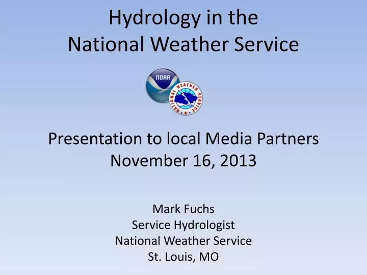
Hydrology in the National Weather Service Mark Fuchs Service Hydrologist National Weather Service St. Louis, MO Presentation to local Media Partners November 16, 2013
Objectives • Define flooding and hydrology • Describe factors that contribute to flooding and define flooding categories • Describe the CHPS and the hydrologic forecast process at the RFCs • Provide an overview of the Advanced Hydrological Prediction Service (AHPS) resources and 90-day streamflow outlook tools • Provide additional NWS resource locations
Flood vs. Flash Flood • Flash Flood – a rapid and extreme flow of high water into a normally dry area, or a rapid water level rise in a stream or creek above a predetermined flood level, beginning within six hours of the causative event (e.g., intense rainfall, dam failure, ice jam). • Flood – high flow, overflow, or inundation by water which causes or threatens damage.
Factors Contributing to a Flood • Pre-season water levels • Received precipitation/snowfall • Air/ground temperature • Soil moisture • Ice Jams • Snowpack/snow melt
Flood Categories • Action Stage:Water is near or over the top of its banks in spots, but no structures are flooded; any flooding is typically limited to parkland and marshland. • Minor Flood Stage:Few buildings are expected to be inundated, roads, parklands and yards may be covered with water and water may go under buildings on stilts or higher elevations. • Moderate Flood Stage:Inundation of buildings, roads closed and/or cut off. Some evacuations may be necessary. • Major Flood Stage:Significant to catastrophic, life-threatening flooding is expected. Extensive flooding with some low-lying areas completely inundated. Structures may be completely submerged. Large-scale evacuations may be necessary.
NWS USACE USGS • NWS – Forecasts • USACE – Engineering and Reservoirs • USGS – River observations and measurements
NWS OperationsAverage Person Only Sees Tip of Iceberg TV Radio Internet NWR Government Private Weather Companies Radar Network 122 Weather Forecast Offices Severe Thunderstormand Tornado Prediction Weather Balloons Satellites Data Buoys Ground-LevelObservations Aviation & Ocean Forecasts VolunteerNetwork HurricaneForecasts Space WeatherForecasts StreamGaugeNetwork Climate andSeasonalOutlooks 9 National Centers for Environmental Prediction 13 RiverForecastCenters River Forecasts Model Simulations 90-day outlooks
NWS OperationsPresence at National, Regional and Local Levels
NWS River Forecast Centers www.water.weather.gov/ahps/rfc/rfc.php
Three River Forecast Centers serve the St. Louis Service Area NCRFC MBRFC LMRFC
CHPS: Community Hydrologic Prediction System FC FEWS Models CHPS FEWS Other Models NWS Models HEC Models National Weather Service Northeast River Forecast Center
CHPS: Providing the forecaster an interface to data • Intuitive graphical interfaces • Lots of map support • Highly configurable views CHPS NCRFC – flood status in several catchments CHPS NERFC – Alternative data views
CHPS: Data visualization and editing – Graphical data • Powerful graphical tools for viewing time series data • Point time series Longitudinal profiles (animated) • Editing capabilities – copy to-from e.g. Excel Historical event: River Rouge, Detroit Longitudinal Display
CHPS: Using and displaying probabilistic data The CHPS database model is inherently ensemble-aware • Import ensemble data (e.g. ECMWF, GFS, NAM) • Run models for ensemble members • Results • Statistical Summary • Verification Model #1 for 31-05-2007 00:00 UTC Model #2 for 31-05-2007 00:00 UTC
Hydrologic Forecast Process • Modeling how much rain gets into the river (Rainfall to Runoff) • Modeling snowmelt runoff (Snow model) • Modeling how fast water gets to the river gage (Unit Hydrograph) • Modeling how fast upstream water arrives at the gage (Routing) • Translating water volume into water height (Rating)
Unit HydrographMeramec River near Steelville, Missouri Flow (cfs)
Routing Gage Height Time
River Forecasts – How are they created? Upstream Flow Upstream River Gage Observed Precipitation Future Precipitation Local Basin Soil Model Rainfall to Runoff Unit Hydrograph Runoff to Flow Forecast River Gage Basin Local Flow Total Flow (cfs) Rating Curve Flow to Stage Forecaster Modification Forecast To Public
Forecast Considerations • Ground State (How dry is it?) • Past Model Performances • Rainfall (Gage-based or Radar-based?) • Rainfall Variability • Space • Time
AHPS • These graphical products are useful planning tools. • Enable users to make more informed decision about policies and actions to mitigate the dangers posed by floods and droughts. • New feature demo
Impacts What constitutes impacts? • Flooded cropland and parks • Flooded roadways • Damaged storage buildings and garages • Businesses and residences • Levee breaches vs. overtopping • Navigational issues • Water intake problems Defined as any water level disrupting human activity.
Resources • www.water.weather.gov • www.weather.gov • www.cpc.ncep.noaa.gov • www.wpc.ncep.noaa.gov • www.nohrsc.nws.gov