Download
1 / 25
250 likes | 344 Views
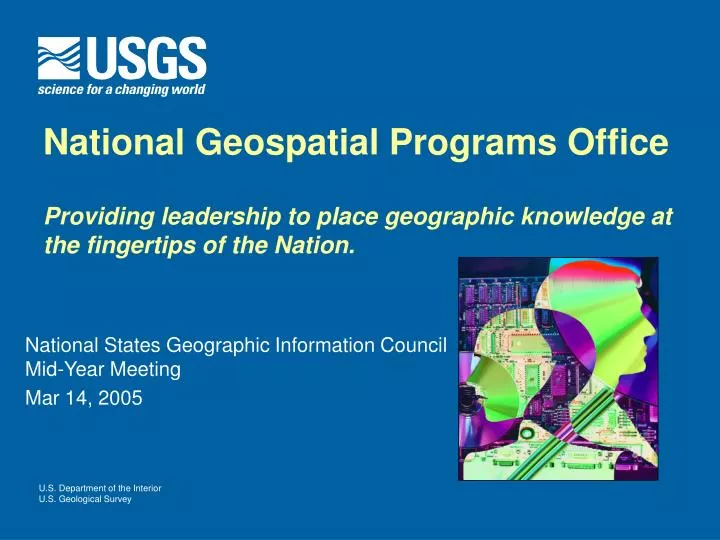
National Geospatial Programs Office Providing leadership to place geographic knowledge at the fingertips of the Nation. National States Geographic Information Council Mid-Year Meeting Mar 14, 2005. A Bold Step for the NSDI. National Geospatial Programs Office

E N D
National Geospatial Programs OfficeProviding leadership to place geographic knowledge at the fingertips of the Nation. National States Geographic Information Council Mid-Year Meeting Mar 14, 2005
A Bold Step for the NSDI • National Geospatial Programs Office • Align national geospatial activities and responsibilities • Federal Geographic Data Committee • Geospatial One Stop • The National Map • Interior Enterprise GIS • Expand partnership offices • Assess USGS geospatial products and services
Connecting the Components • Integrated base data – The National Map • Coordination, standards, policy – Federal Geographic Data Committee • Discovery and access – Geospatial One Stop Coordination& Standards Consistent & Current Content Data Discovery & Access Challenge: Transforming to One
Charting the Course • Core Team • Listening Sessions • Study Teams • Unified Geospatial Enterprise Architecture • Geospatial Technology Integration • Partnership Offices • Unified NSDI Web Presence • Measuring Geospatial Investments • USGS Geospatial Products and Services • Work of Others
We see opportunities: • To provide leadership in the development of the NSDI • Serve as a major geospatial content provider • To work with and learn from our partners What Are We Learning? We need to transform: • Toward a geographic information system for the Nation – “system of systems” • Toward a focus on matters and places of national importance • Toward management excellence
NGPO Purpose “Providing leadership to place geographic knowledge at the fingertips of the Nation.”
NGPO Mission • Provide leadership and guidance to key stakeholders • Coordinate governance structure for the NSDI • Facilitate strategy and policy development • Provide financial and other incentives • Facilitate the development of key standards and data models • Negotiate collaborative agreements with stakeholders • Provide forum for technology transfer and sharing best practices • Implement key components of the NSDI • Host spatial datasets, web sites, knowledge base, and tools for discovery and access • Perform data integration and Quality Assurance of spatial data • Produce spatial data – as last resort • Manage geospatial service contracts • Provide training, education and consulting • Conduct and sponsor research for GI Science • Support GIS applications and services • Create map products
NGPO Vision • Flows from vision of the NSDI • “ Current and accurate geospatial data will be readily available on a local, national and global basis to contribute to economic growth, environmental quality and stability and social progress.” • Actionable • “By June 30, 2006 transform the processes of Government necessary to implement key components of the NSDI.”
National Spatial Data Infrastructure Vision Local Data Sets Local Transactions National Standards National Data Sets Distribution • Transformation • Conversion • Integration High-Quality Data Compiled from Local Sources
NGPO Strategic Directions • Unified Geospatial Enterprise Architecture • Governance Structure for the 21st Century • Incentive Based Partnerships • A Tapestry of Base Content • Technology Modernization and Integration • Investment Management • Revitalized Suite of Applications, Products and Services • Internal Streamlining
Unified Geospatial Enterprise Architecture • An approach for unifying disparate geospatial architecture efforts, aligning them with the Federal Enterprise Architecture and accommodating the needs of the non-Federal community • Adopt Principles • Establish Advisory Council and Technical Working Group • Promote Common Standards
Governance Structure for the 21st Century • Restructure NSDI Governance Model • Create a national Geospatial Coordinating Body • Promote Governance Process as a National Commitment
Technology Modernization and Integration • Build a Geographic Information System for the Nation
Components of GIS for the Nation National Partnerships User Distributed GIS Services GOS Catalog National Specifications National Discovery and Access National Map
Local/State/Regional Government Role • Integration • Compilation • Quality Assurance Local Spatial Data Sets State/ Regional Layers State/Regional Spatial Data Integrated State/Regional Maps
Federal Government Role • Integration • Compilation • Quality Assurance Federal Agency Spatial Data Sets Federal Layers Federal Spatial Data Integrated Federal Maps
NGPO Role as Integrator • Integration • Compilation • Quality Assurance State & Regional, Tribal, Federal Spatial Data Sets The National Map National Data Sets Integrated National Maps
NGPO Role: Geospatial One-Stop (GOS) Federal Data Sets State/Regional Data Sets • Examples • USGS Hydrography • NGS Geodetic Control • BLM PLSS • DoD Defense Installations (DISDI) • Examples • North Carolina • San Francisco Bay Area(BARGC) National Metadata Catalog (GOS) Integrated National Data Sets • Examples • Transportation • Landmarks • Hydrography • Land Use Scientific Knowledge • Examples • Reports • Models • Applications Access and Discovery to All Resources
GOS GOS National Data Flows National Compilation State/Regional Systems Internet Open Users: National Communities HLS/HLD Community: DHS, DoD, NGA, Law Enforcement, States, Locals … Secure Networks Access Controlled Local Data
National GI Templates • Develop content and process standards for NSDI framework layers • Data content, capture, and processing standards • Data import and migration procedures • QA/QC, maintenance, and updating procedures • Production of standard map products • Data sharing agreements • Security standards and procedures • Hardware, software, and infrastructure standards • Operational Use / sample applications • Demonstrate data QA/QC, maintenance, and updating workflow • Design a strategy for outreach and implementation on the National Level
Goal: Partnerships with Purpose • Implement a long-term, sustainable approach to advancing the NSDI • Make strategic geospatial investments that leverage resources across levels of government • Create synergy by aligning with priorities and plans of the states and regional/local consortia • Develop the ability to measure and project NSDI advancements
Proposal for Discussion • Umbrella Agreement between NGPO and State or Regional/local consortia • Joint Development of Long-term Geospatial Strategic Plans
1 State/NGPO Umbrella Agreement (MOU) NGPO Joint, Long-term Plan to Develop the NSDI 2 State Coordinating Authority NSDI Partnership Office Statewide Council
NGPO Long-term Plan will be used by NGPO to: • Help guide NGPO investments to align with state/local investments through strategic planning • Facilitate sustainable implementation of the NSDI • Build synergy with states and other consortia by supporting and enhancing their goals • Project NSDI advancements
Incentive Based Partnerships Focus areas proposed for FY 2005 CAP • NSDI Stewardship • Coordinating Councils • Strategic Plans • Stewardship • Making Framework Real • Education and Outreach